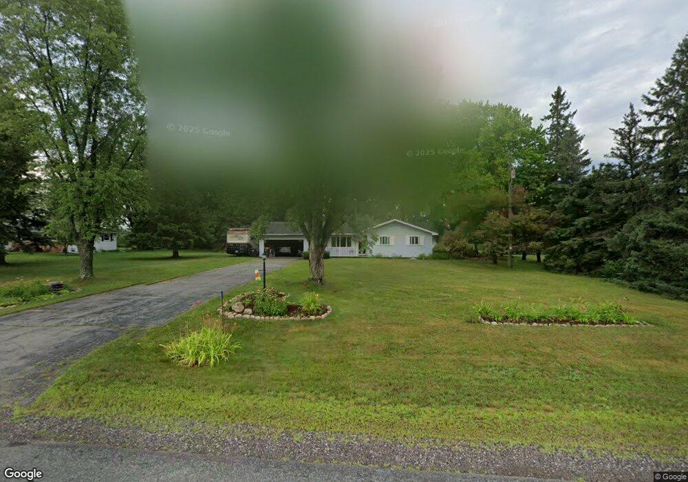
5103 Packer Dr Wausau, WI 54401
Estimated Value: $266,000 - $333,000
--
Bed
--
Bath
--
Sq Ft
1.05
Acres
About This Home
This home is located at 5103 Packer Dr, Wausau, WI 54401 and is currently estimated at $298,165. 5103 Packer Dr is a home located in Marathon County with nearby schools including Rib Mountain Elementary School, John Muir Middle School, and West High School.
Ownership History
Date
Name
Owned For
Owner Type
Purchase Details
Closed on
Aug 19, 2005
Sold by
Engman Rebecca L
Bought by
Kenchtel Richard S and Bowers Knechtel Lana S
Current Estimated Value
Home Financials for this Owner
Home Financials are based on the most recent Mortgage that was taken out on this home.
Original Mortgage
$22,950
Outstanding Balance
$12,180
Interest Rate
5.82%
Mortgage Type
Stand Alone Second
Estimated Equity
$285,985
Create a Home Valuation Report for This Property
The Home Valuation Report is an in-depth analysis detailing your home's value as well as a comparison with similar homes in the area
Home Values in the Area
Average Home Value in this Area
Purchase History
| Date | Buyer | Sale Price | Title Company |
|---|---|---|---|
| Kenchtel Richard S | $153,000 | None Available |
Source: Public Records
Mortgage History
| Date | Status | Borrower | Loan Amount |
|---|---|---|---|
| Open | Kenchtel Richard S | $22,950 | |
| Open | Kenchtel Richard S | $122,400 |
Source: Public Records
Tax History Compared to Growth
Tax History
| Year | Tax Paid | Tax Assessment Tax Assessment Total Assessment is a certain percentage of the fair market value that is determined by local assessors to be the total taxable value of land and additions on the property. | Land | Improvement |
|---|---|---|---|---|
| 2024 | $1,508 | $194,700 | $29,800 | $164,900 |
| 2023 | $3,298 | $194,700 | $29,800 | $164,900 |
| 2022 | $3,016 | $194,700 | $29,800 | $164,900 |
| 2021 | $2,950 | $194,700 | $29,800 | $164,900 |
| 2020 | $2,845 | $154,600 | $25,200 | $129,400 |
| 2019 | $2,858 | $154,600 | $25,200 | $129,400 |
| 2018 | $2,962 | $154,600 | $25,200 | $129,400 |
| 2017 | $2,930 | $154,600 | $25,200 | $129,400 |
| 2016 | $2,772 | $154,600 | $25,200 | $129,400 |
| 2015 | $2,950 | $154,600 | $25,200 | $129,400 |
| 2014 | $2,818 | $154,600 | $25,200 | $129,400 |
Source: Public Records
Map
Nearby Homes
- 210 S 45th Ave
- 210 Bluestone Dr
- 303 Rimrock Rd
- 5713 Birchwood Dr
- 4615 Rib River Trail
- 6007 Birchwood Dr
- 206 N 44th Ave
- 212 Windtree Dr
- 6603 Conner Davis Dr
- 6607 Morgan Creek Dr
- 310 Lisbeth Rd
- 6011 Stettin Dr
- 116 S 68th Ave
- 227815 Sharptail Rd
- 3401 Christian Ave
- 2812 Hubbill Ave
- 10.80 Acres N 72nd Ave
- 2102 Wegner St
- 226936 Boulder Ridge Cir
- 2117 Sherman St
- 5009 Packer Dr
- 5109 Packer Dr
- 5003 Packer Dr
- 5104 Sherman St Unit 5106
- 5100 Sherman St Unit 5102
- 5213 Packer Dr
- 5108 Sherman St Unit 5110
- 5008 Sherman St
- 5001 Packer Dr
- 5202 Sherman St
- 4905 Stewart Ave
- 5301 Packer Dr
- 5300 Sherman St
- 5211 Stewart Ave
- 4805 Stewart Ave
- 5213 Stewart Ave
- 5301 Stewart Ave
- 813 S 54th Ave
- 5111 Sherman St
- 714 S 48th Ave