Estimated Value: $208,000 - $262,000
3
Beds
2
Baths
1,284
Sq Ft
$181/Sq Ft
Est. Value
About This Home
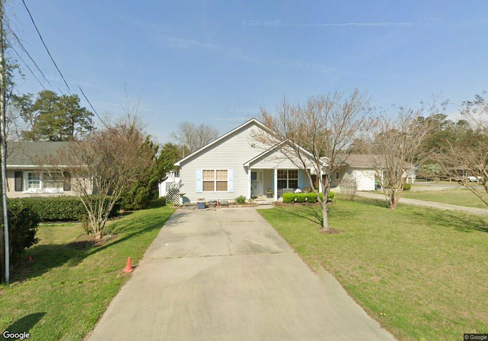
This home is located at 5103 Powers St, Loris, SC 29569 and is currently estimated at $232,085, approximately $180 per square foot. 5103 Powers St is a home located in Horry County with nearby schools including Loris Elementary School, Loris Middle School, and Loris High School.
Ownership History
Date
Name
Owned For
Owner Type
Purchase Details
Closed on
Jul 25, 2007
Sold by
Coastal Stucco Inc
Bought by
Depoalo Linda M and Fitzgerald Kathleen J
Current Estimated Value
Home Financials for this Owner
Home Financials are based on the most recent Mortgage that was taken out on this home.
Original Mortgage
$127,000
Outstanding Balance
$78,416
Interest Rate
6.63%
Mortgage Type
Purchase Money Mortgage
Estimated Equity
$153,669
Purchase Details
Closed on
Mar 27, 2007
Sold by
Floyds Construction Properties Llc
Bought by
Coastal Stucco Inc
Purchase Details
Closed on
Feb 21, 2007
Sold by
Costello Joseph A and Costello Phyllis J
Bought by
Floyds Construction Properties Llc
Create a Home Valuation Report for This Property
The Home Valuation Report is an in-depth analysis detailing your home's value as well as a comparison with similar homes in the area
Home Values in the Area
Average Home Value in this Area
Purchase History
| Date | Buyer | Sale Price | Title Company |
|---|---|---|---|
| Depoalo Linda M | $137,000 | Attorney | |
| Coastal Stucco Inc | $20,000 | Attorney | |
| Floyds Construction Properties Llc | $12,000 | None Available |
Source: Public Records
Mortgage History
| Date | Status | Borrower | Loan Amount |
|---|---|---|---|
| Open | Depoalo Linda M | $127,000 |
Source: Public Records
Tax History
| Year | Tax Paid | Tax Assessment Tax Assessment Total Assessment is a certain percentage of the fair market value that is determined by local assessors to be the total taxable value of land and additions on the property. | Land | Improvement |
|---|---|---|---|---|
| 2025 | $847 | $0 | $0 | $0 |
| 2024 | $847 | $12,076 | $2,250 | $9,826 |
| 2023 | $847 | $4,332 | $420 | $3,912 |
| 2021 | $753 | $8,142 | $630 | $7,512 |
| 2020 | $743 | $8,142 | $630 | $7,512 |
| 2019 | $776 | $8,142 | $630 | $7,512 |
| 2018 | $682 | $5,651 | $563 | $5,088 |
| 2017 | $682 | $5,651 | $563 | $5,088 |
| 2016 | -- | $5,651 | $563 | $5,088 |
| 2015 | $669 | $5,651 | $563 | $5,088 |
| 2014 | $629 | $5,651 | $563 | $5,088 |
Source: Public Records
Map
Nearby Homes
- 4360 Rose St
- TBD100 U S 701 Hwy
- 5180 Graham St
- Parcel B U S 701 Hwy
- Parcel C U S 701 Hwy
- Parcel A U S 701 Hwy
- 4625 Graham St
- TBD Graham St
- 4151 Maple St
- 4526 Railroad Ave
- Tbd Sand Hill Bay Rd
- Tbd Heritage Rd
- Tbd Unit 1 Tansy Rd.
- Horry County
- Tbd Hwy 9
- 327 Fox Bay Rd
- 341 Highway 701 N
- 4394 Triangle St
- 3637 Church St Unit Lot 38 Melanie
- 3604 Church St
- 4332 Willow St
- 5021 Powers St
- Corner of Powers Ave
- 5003,5005 P0wers St
- 5005 Powers St
- 5008 Powers St
- 4323 Dogwood St
- 4301 Willow St
- 5003 Powers St
- 4415 Dogwood St
- 4341 Willow St
- 4331 Willow St
- 4239 Dogwood St
- 4226 Willow St
- 4321 Willow St
- 4223 Dogwood St
- 4415 Willow St
- 4921 Powers St
- 4559 Dogwood St
- 4304 Dogwood St Unit 4302
Your Personal Tour Guide
Ask me questions while you tour the home.