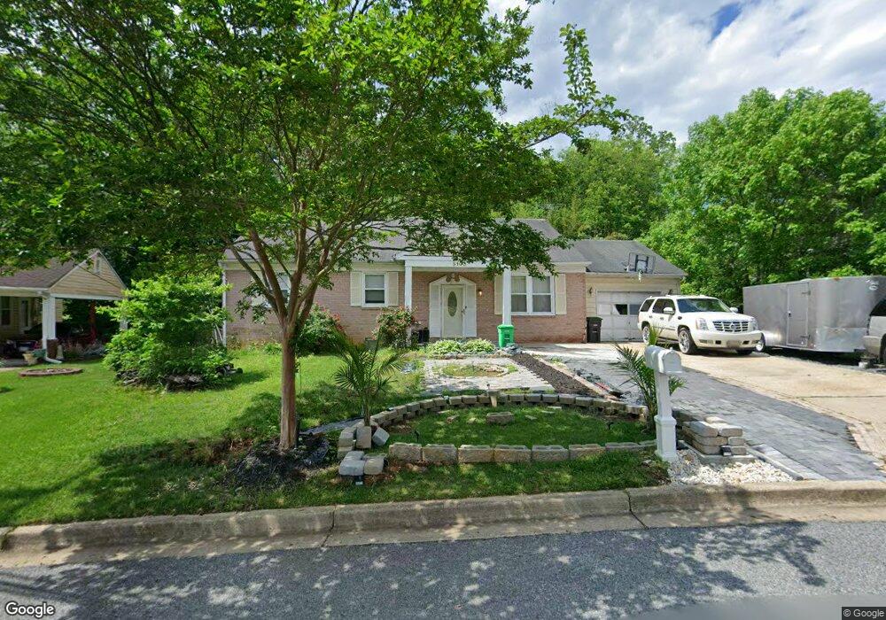
5103 Roblee Dr Upper Marlboro, MD 20772
Estimated Value: $357,697 - $466,000
Studio
2
Baths
1,444
Sq Ft
$290/Sq Ft
Est. Value
About This Home
This home is located at 5103 Roblee Dr, Upper Marlboro, MD 20772 and is currently estimated at $418,674, approximately $289 per square foot. 5103 Roblee Dr is a home located in Prince George's County with nearby schools including Barack Obama Elementary School, James Madison Middle School, and Dr. Henry A. Wise Jr. High School.
Ownership History
Date
Name
Owned For
Owner Type
Purchase Details
Closed on
Mar 11, 2009
Sold by
Black Franklin A
Bought by
Black Chianat and Black Chavaughn
Current Estimated Value
Home Financials for this Owner
Home Financials are based on the most recent Mortgage that was taken out on this home.
Original Mortgage
$314,280
Outstanding Balance
$199,088
Interest Rate
5.14%
Mortgage Type
FHA
Estimated Equity
$219,586
Purchase Details
Closed on
Dec 11, 1989
Sold by
Black Franklin A
Bought by
Black Franklin A
Create a Home Valuation Report for This Property
The Home Valuation Report is an in-depth analysis detailing your home's value as well as a comparison with similar homes in the area
Home Values in the Area
Average Home Value in this Area
Purchase History
| Date | Buyer | Sale Price | Title Company |
|---|---|---|---|
| Black Chianat | $325,000 | -- | |
| Black Franklin A | $84,200 | -- |
Source: Public Records
Mortgage History
| Date | Status | Borrower | Loan Amount |
|---|---|---|---|
| Open | Black Chianat | $314,280 |
Source: Public Records
Tax History
| Year | Tax Paid | Tax Assessment Tax Assessment Total Assessment is a certain percentage of the fair market value that is determined by local assessors to be the total taxable value of land and additions on the property. | Land | Improvement |
|---|---|---|---|---|
| 2025 | $5,321 | $334,600 | $101,500 | $233,100 |
| 2024 | $5,321 | $331,200 | -- | -- |
| 2023 | $5,269 | $327,800 | $0 | $0 |
| 2022 | $5,218 | $324,400 | $81,500 | $242,900 |
| 2021 | $4,941 | $305,767 | $0 | $0 |
| 2020 | $4,665 | $287,133 | $0 | $0 |
| 2019 | $4,388 | $268,500 | $100,700 | $167,800 |
| 2018 | $4,208 | $256,433 | $0 | $0 |
| 2017 | $4,029 | $244,367 | $0 | $0 |
| 2016 | -- | $232,300 | $0 | $0 |
| 2015 | $3,697 | $232,300 | $0 | $0 |
| 2014 | $3,697 | $232,300 | $0 | $0 |
Source: Public Records
Map
Nearby Homes
- 11002 Cranford Dr
- 10913 Daniel Sim Ct
- 5423 Thomas Sim Lee Terrace
- 4707 Thoroughbred Dr
- 4516 Bridle Ridge Rd
- 11604 Bronco Ct
- 4504 Cross Country Terrace
- 4502 Cross Country Terrace
- 11501 William Beanes Rd
- 11201 Marlboro Ridge Rd
- 5442 Billenca Ln
- 4902 Bridle Ridge Rd
- 10910 Meridian Hill Way
- 5437 Cedar Grove Dr
- 11141 Meridian Hill Way
- 11508 Pegasus Ct
- 4302 Bridle Ridge Rd
- 5606 Addington Ln
- 5808 Richmanor Terrace
- 4204 Rolling Paddock Dr
- 5101 Roblee Dr
- 5105 Roblee Dr
- 11107 Brookdale Ln
- 11201 Brookdale Ln
- 5107 Roblee Dr
- 5106 Roblee Dr
- 11110 Brookdale Ln
- 11108 Brookdale Ln
- 5108 Roblee Dr
- 5201 Roblee Dr
- 11203 Brookdale Ln
- 11200 Brookdale Ln
- 5015 Roblee Dr
- 11202 Brookdale Ln
- 5205 Roblee Dr
- 11106 Brookdale Ln
- 11101 Lynford Ct
- 11105 Brookdale Ln
- 5113 Woodford Ln
- 11205 Brookdale Ln
Your Personal Tour Guide
Ask me questions while you tour the home.