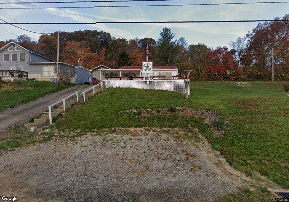
5103 State Route 220 Waverly, OH 45690
Estimated Value: $181,000 - $217,000
2
Beds
1
Bath
936
Sq Ft
$213/Sq Ft
Est. Value
About This Home
This home is located at 5103 State Route 220, Waverly, OH 45690 and is currently estimated at $198,905, approximately $212 per square foot. 5103 State Route 220 is a home with nearby schools including Waverly Primary School, Waverly Intermediate School, and Waverly Junior High School.
Ownership History
Date
Name
Owned For
Owner Type
Purchase Details
Closed on
Nov 15, 2010
Sold by
Trube Mary Barbara and Kowalski Mary Barbara
Bought by
Little James D and Little Melissa R
Current Estimated Value
Home Financials for this Owner
Home Financials are based on the most recent Mortgage that was taken out on this home.
Original Mortgage
$78,361
Outstanding Balance
$51,649
Interest Rate
4.25%
Mortgage Type
FHA
Estimated Equity
$147,256
Create a Home Valuation Report for This Property
The Home Valuation Report is an in-depth analysis detailing your home's value as well as a comparison with similar homes in the area
Home Values in the Area
Average Home Value in this Area
Purchase History
| Date | Buyer | Sale Price | Title Company |
|---|---|---|---|
| Little James D | $80,400 | None Available |
Source: Public Records
Mortgage History
| Date | Status | Borrower | Loan Amount |
|---|---|---|---|
| Open | Little James D | $78,361 |
Source: Public Records
Tax History Compared to Growth
Tax History
| Year | Tax Paid | Tax Assessment Tax Assessment Total Assessment is a certain percentage of the fair market value that is determined by local assessors to be the total taxable value of land and additions on the property. | Land | Improvement |
|---|---|---|---|---|
| 2024 | $1,042 | $31,700 | $5,780 | $25,920 |
| 2023 | $1,042 | $31,700 | $5,780 | $25,920 |
| 2022 | $1,084 | $28,880 | $11,150 | $17,730 |
| 2021 | $1,061 | $28,880 | $11,150 | $17,730 |
| 2020 | $1,064 | $28,880 | $11,150 | $17,730 |
| 2019 | $965 | $26,260 | $10,140 | $16,120 |
| 2018 | $868 | $26,260 | $10,140 | $16,120 |
| 2017 | $862 | $26,260 | $10,140 | $16,120 |
| 2016 | $771 | $20,530 | $5,100 | $15,430 |
| 2015 | $771 | $20,530 | $5,100 | $15,430 |
| 2014 | $744 | $20,530 | $5,100 | $15,430 |
| 2013 | $754 | $20,530 | $5,100 | $15,430 |
| 2012 | $774 | $20,530 | $5,100 | $15,430 |
Source: Public Records
Map
Nearby Homes
- 278 Lake Rd
- 387 Bevens Ln
- 195 Lake Rd
- 954 Ohio 551
- 0 Fish And Game Rd
- 644 Ohio 552
- 0 Ohio 552
- 0 Woodland Dr
- 0 Virginia Ln
- 223 Virginia Ln
- 678 Ohio 551
- 678 State Route 551
- 303 Wells Jones Rd
- 4308 Ohio 220
- 0 Mt Tabor Rd Unit 23152534
- 25 Lakeview Dr
- 57 Jefferson Rd
- 194 Ohio 551
- 90 Taylor Rd
- 6460 Ohio 220
- 5103 Ohio 220
- 5093 State Route 220
- 5093 Ohio 220
- 5077 State Route 220
- 5049 Ohio 220
- 626 Lake White Rd
- 5077 Ohio 220
- 5049 State Route 220
- 619 Lake White Rd
- 5023 Ohio 220
- 497 Bevens Ln Unit C-90
- 497 Bevens Ln
- 465 Lake White Rd
- 278 Lake White Rd
- 495 Bevens Ln Unit C90S
- 495 Bevins Ln
- 4917 State Route 220
- 4917 Ohio 220
- 5243 State Route 220
- 431 Lake White Rd