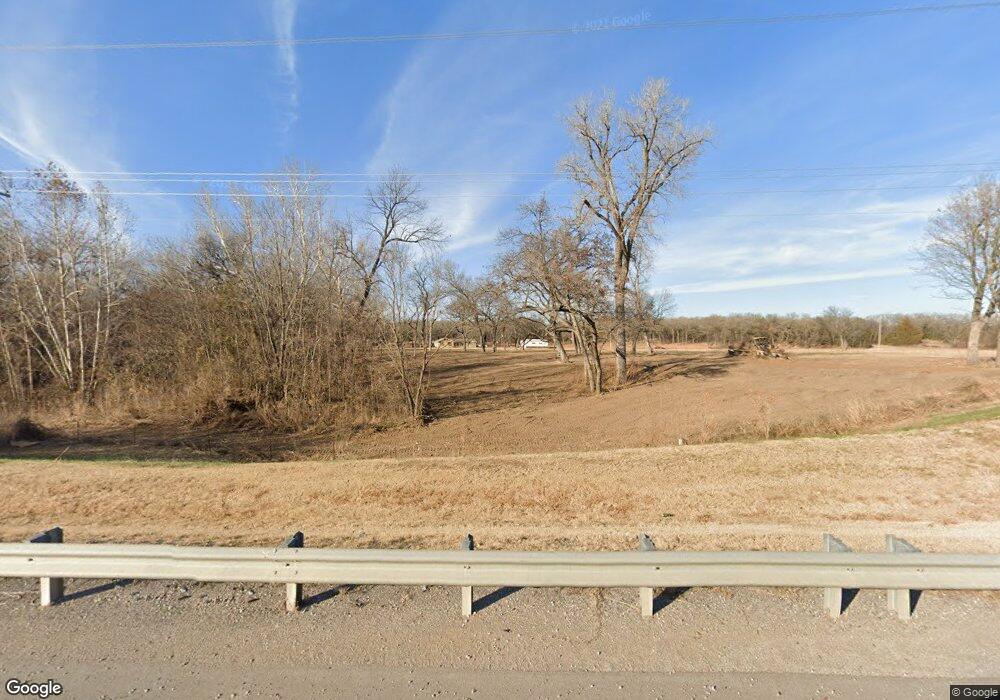
5104 State Highway 53 Ardmore, OK 73401
Estimated Value: $213,000 - $296,996
3
Beds
2
Baths
1,725
Sq Ft
$151/Sq Ft
Est. Value
About This Home
This home is located at 5104 State Highway 53, Ardmore, OK 73401 and is currently estimated at $260,249, approximately $150 per square foot. 5104 State Highway 53 is a home located in Carter County with nearby schools including Springer Elementary School and Springer High School.
Ownership History
Date
Name
Owned For
Owner Type
Purchase Details
Closed on
Mar 6, 2023
Sold by
Nava Carlos and Nava Tracy D
Bought by
Quip Properties Llc
Current Estimated Value
Purchase Details
Closed on
Apr 1, 2019
Sold by
Blanton Manuel Allen and Blanton Kimberly Marie
Bought by
Citizens Bank And Trust Company
Purchase Details
Closed on
Mar 28, 2019
Sold by
Forguson Crowell Sandra and Crowell Gary
Bought by
Blanton Allen and Blanton Kim
Purchase Details
Closed on
Jan 22, 2019
Sold by
Forguson Crowell Sandra and Crowell Gary
Bought by
Oppenhuizen Andrew and Oppenhuizen Tracy
Create a Home Valuation Report for This Property
The Home Valuation Report is an in-depth analysis detailing your home's value as well as a comparison with similar homes in the area
Home Values in the Area
Average Home Value in this Area
Purchase History
| Date | Buyer | Sale Price | Title Company |
|---|---|---|---|
| Quip Properties Llc | -- | -- | |
| Citizens Bank And Trust Company | $139,001 | Stewart Title Of Ok Inc | |
| Blanton Allen | $140,000 | Stewart Title Of Ok Inc | |
| Oppenhuizen Andrew | $40,000 | Stewart Title Of Oklahoma In |
Source: Public Records
Tax History Compared to Growth
Tax History
| Year | Tax Paid | Tax Assessment Tax Assessment Total Assessment is a certain percentage of the fair market value that is determined by local assessors to be the total taxable value of land and additions on the property. | Land | Improvement |
|---|---|---|---|---|
| 2025 | $688 | $9,282 | $2,557 | $6,725 |
| 2024 | $688 | $9,010 | $2,482 | $6,528 |
| 2023 | $666 | $8,749 | $2,358 | $6,391 |
| 2022 | $645 | $8,493 | $2,223 | $6,270 |
| 2021 | $653 | $8,493 | $2,223 | $6,270 |
| 2020 | $741 | $8,493 | $2,223 | $6,270 |
| 2019 | $697 | $8,078 | $1,714 | $6,364 |
| 2018 | $753 | $8,474 | $1,989 | $6,485 |
| 2017 | $788 | $8,770 | $1,989 | $6,781 |
| 2016 | $886 | $9,900 | $1,989 | $7,911 |
| 2015 | $930 | $10,162 | $1,389 | $8,773 |
| 2014 | $901 | $11,253 | $1,217 | $10,036 |
Source: Public Records
Map
Nearby Homes
- 0.68 Acre Parcel
- Two 1.39
- Two 0.74 Acre (Both Equal 1 48 Acre Parcel Total)
- 0 Tbd Tumbleweed Rd
- 586 Grassland Rd
- 0 Grassland Rd Unit 2544291
- 0 Grassland Rd Unit 2544372
- 0 Grassland Rd Unit 2544109
- 2304 Pleasant Rd
- 203 Fernwood Rd
- 503 Forest Ln
- 6600 Refinery Rd
- 00 Refinery Rd
- 1416 Smokey Ridge Rd
- 7590 Mount Washington Rd
- 16677 Us Highway 77
- 58 Smokey Ridge Rd
- 7 Ponderosa Rd
- 1905 Grandview Rd
- 300 S 1st Ave
- 5104 Hw 53
- 5238 State Highway 53
- 5412 State Highway 53
- 5504 State Highway 53
- 5095 State Hwy 53
- 191 Redwing Rd
- 4773 State Highway 53
- 255 Calvery Rd
- 509 Calvery Rd
- 651 Redwing Rd
- 4413 State Highway 53
- 4413 State Hwy 53
- 4413 State Highway 53 Unit Ardmore
- 0 Gene Autry Rd Unit 34073
- 0 Gene Autry Rd Unit 26014
- 0 Gene Autry Rd Unit 2431918
- 0 Gene Autry Rd Unit 2033678
- 0 Gene Autry Rd Unit 36001
- Unassigned Gene Autry Rd
- 654 Calvery Rd