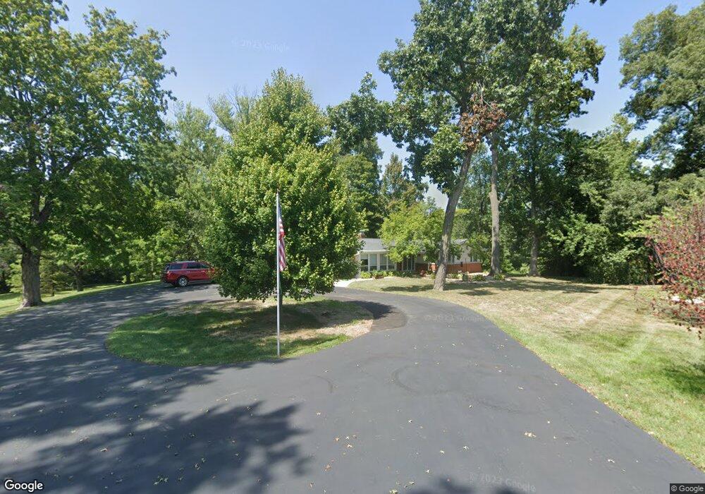
5105 N State Route 159 Edwardsville, IL 62025
Estimated Value: $331,000 - $548,000
3
Beds
2
Baths
2,338
Sq Ft
$175/Sq Ft
Est. Value
About This Home
This home is located at 5105 N State Route 159, Edwardsville, IL 62025 and is currently estimated at $408,151, approximately $174 per square foot. 5105 N State Route 159 is a home located in Madison County with nearby schools including N.O. Nelson Elementary School, Woodland Elementary School, and Lincoln Middle School.
Ownership History
Date
Name
Owned For
Owner Type
Purchase Details
Closed on
Mar 4, 2003
Sold by
Schwalb Robert G
Bought by
Steinkuehler Fred H and Steinkuehler Juanita R
Current Estimated Value
Create a Home Valuation Report for This Property
The Home Valuation Report is an in-depth analysis detailing your home's value as well as a comparison with similar homes in the area
Home Values in the Area
Average Home Value in this Area
Purchase History
| Date | Buyer | Sale Price | Title Company |
|---|---|---|---|
| Steinkuehler Fred H | -- | Guaranty Title Co |
Source: Public Records
Tax History Compared to Growth
Tax History
| Year | Tax Paid | Tax Assessment Tax Assessment Total Assessment is a certain percentage of the fair market value that is determined by local assessors to be the total taxable value of land and additions on the property. | Land | Improvement |
|---|---|---|---|---|
| 2024 | $5,360 | $96,330 | $24,410 | $71,920 |
| 2023 | $5,360 | $89,390 | $22,650 | $66,740 |
| 2022 | $4,932 | $82,490 | $20,900 | $61,590 |
| 2021 | $4,389 | $77,630 | $19,670 | $57,960 |
| 2020 | $4,197 | $74,370 | $18,840 | $55,530 |
| 2019 | $4,132 | $72,870 | $18,460 | $54,410 |
| 2018 | $4,043 | $70,440 | $17,850 | $52,590 |
| 2017 | $4,008 | $68,310 | $17,310 | $51,000 |
| 2016 | $3,540 | $68,310 | $17,310 | $51,000 |
| 2015 | $3,575 | $68,310 | $17,310 | $51,000 |
| 2014 | $3,575 | $68,310 | $17,310 | $51,000 |
| 2013 | $3,575 | $68,310 | $17,310 | $51,000 |
Source: Public Records
Map
Nearby Homes
- 6623 Fox View Dr
- 6613 Fox View Dr
- 121 Fox Hill Ct
- 101 Fox Hill Ct
- 0 White Pine Lot 10 Dr Unit MAR24071307
- 0 Ebbets Field Subdv Unit 23019883
- 4518 Drda Ln
- 0 Dr Unit MAR24071988
- 0 Birchwood Lot 17 Dr Unit MAR24072183
- 0 River Birch Lot 24 Dr Unit MAR24072471
- 0 River Birch Lot 22 Dr Unit MAR24072452
- 0 River Birch Lot 30 Dr Unit MAR24073188
- 0 Dr Unit MAR24073228
- 0 River Birch Lot 32 Dr Unit MAR24073211
- 0 Birchwood Lot 18 Dr Unit MAR24072184
- 0 White Pine Lot 15 Dr Unit MAR24072074
- 0 River Birch Lot 26 Dr Unit MAR24072479
- 0 River Birch Lot 36 Dr Unit MAR24073239
- 0 White Pine Lot 13 Dr Unit MAR24072068
- 0 White Pine Lot 14 Dr Unit MAR24072070
- 5155 N State Route 159
- 5108 Springfield Dr
- 5126 Springfield Dr
- 5126 Springfield Dr
- 5115 Springfield Dr
- 5103 Springfield Dr
- 5121 Springfield Dr
- 5127 Springfield Dr
- 5084 Springfield Dr
- 5085 Springfield Dr
- 6342 Fairfield Rd
- 6307 Fairfield Rd
- 5072 Springfield Dr
- 5012 Potters Ct
- 5006 Potters Ct
- 5013 Potters Ct
- 5152 Springfield Dr
- 6306 Fairfield Rd
- 5066 Springfield Dr
- 5151 Springfield Dr