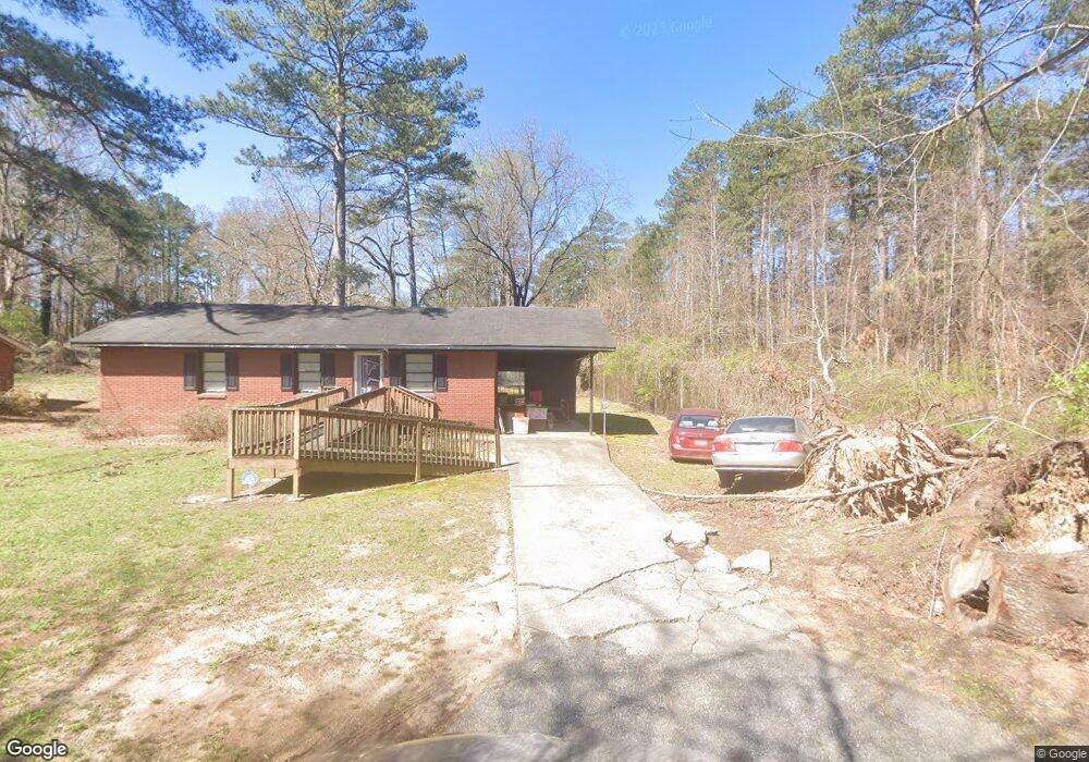
5107 4th St Morrow, GA 30260
Estimated Value: $137,000 - $180,000
3
Beds
1
Bath
984
Sq Ft
$156/Sq Ft
Est. Value
About This Home
This home is located at 5107 4th St, Morrow, GA 30260 and is currently estimated at $153,953, approximately $156 per square foot. 5107 4th St is a home located in Clayton County with nearby schools including Thurgood Marshall Elementary School, Morrow Middle School, and Morrow High School.
Ownership History
Date
Name
Owned For
Owner Type
Purchase Details
Closed on
May 8, 2000
Sold by
Clements Hubert L
Bought by
Jackson Clarence
Current Estimated Value
Home Financials for this Owner
Home Financials are based on the most recent Mortgage that was taken out on this home.
Original Mortgage
$67,465
Outstanding Balance
$22,270
Interest Rate
8.14%
Mortgage Type
FHA
Estimated Equity
$131,684
Purchase Details
Closed on
Mar 3, 1998
Sold by
Walton Bonnie Gail
Bought by
Green Tree Financial Servicing Corp
Create a Home Valuation Report for This Property
The Home Valuation Report is an in-depth analysis detailing your home's value as well as a comparison with similar homes in the area
Purchase History
We collect this data history from publicly available records. To have your information removed, we recommend requesting removal directly through your county’s website.
| Date | Buyer | Sale Price | Title Company |
|---|---|---|---|
| Jackson Clarence | $67,500 | -- | |
| Green Tree Financial Servicing Corp | $42,457 | -- |
Source: Public Records
Mortgage History
We collect this data history from publicly available records. To have your information removed, we recommend requesting removal directly through your county’s website.
| Date | Status | Borrower | Loan Amount |
|---|---|---|---|
| Open | Jackson Clarence | $67,465 |
Source: Public Records
Tax History
| Year | Tax Paid | Tax Assessment Tax Assessment Total Assessment is a certain percentage of the fair market value that is determined by local assessors to be the total taxable value of land and additions on the property. | Land | Improvement |
|---|---|---|---|---|
| 2025 | $1,417 | $47,000 | $4,800 | $42,200 |
| 2024 | $1,134 | $39,080 | $4,800 | $34,280 |
| 2023 | $1,310 | $36,280 | $4,800 | $31,480 |
| 2022 | $749 | $29,080 | $4,800 | $24,280 |
| 2021 | $477 | $22,080 | $4,800 | $17,280 |
| 2020 | $331 | $18,271 | $4,800 | $13,471 |
| 2019 | $233 | $15,732 | $4,000 | $11,732 |
| 2018 | $227 | $15,589 | $4,000 | $11,589 |
| 2017 | $229 | $15,634 | $4,000 | $11,634 |
| 2016 | $238 | $15,838 | $4,000 | $11,838 |
| 2015 | $242 | $0 | $0 | $0 |
| 2014 | $220 | $15,520 | $4,000 | $11,520 |
Source: Public Records
Map
Nearby Homes
- 2207 Miranda Dr
- 2105 Forest Pkwy
- 5347 Lacey Ave
- 2283 Wentworth Dr
- 5356 Creekview Way
- 5356 Creekview Way
- 2137 Joy Lake Rd
- 5372 Bryant Blvd
- 3262 Anvil Block Rd
- 5330 Creekview Ln
- 5338 Creekview Ln
- 5385 Booker t Dr
- 1829 Joy Lake Rd
- 5516 Bryant Blvd
- 2568 Burkshire Rd
- 5521 Sapphire Cir
- LOT 39 Herndon Blvd
- LOT 26,27,28 Herndon Blvd
- 0 Herndon Blvd Unit 7730551
- 0 Herndon Blvd Unit 7686770
Your Personal Tour Guide
Ask me questions while you tour the home.