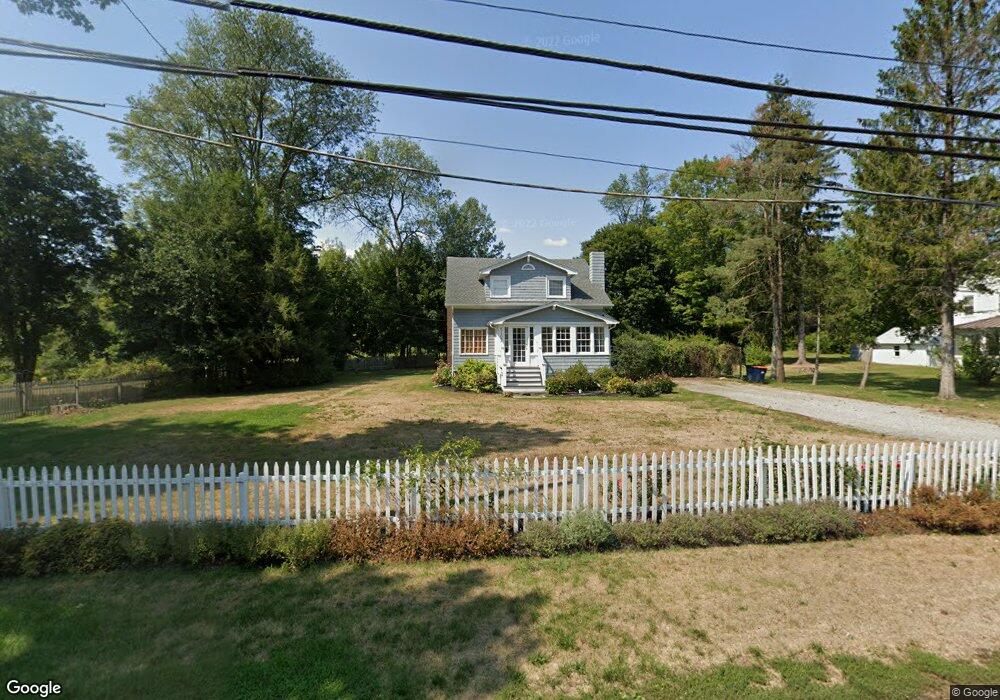
5107 Route 22 Amenia, NY 12501
Estimated Value: $329,000 - $392,000
3
Beds
2
Baths
1,404
Sq Ft
$251/Sq Ft
Est. Value
About This Home
This home is located at 5107 Route 22, Amenia, NY 12501 and is currently estimated at $352,653, approximately $251 per square foot. 5107 Route 22 is a home located in Dutchess County with nearby schools including Eugene Brooks Intermediate School, Olivet Academy, and Maplebrook School.
Ownership History
Date
Name
Owned For
Owner Type
Purchase Details
Closed on
Jan 13, 2005
Sold by
Panos Louis
Bought by
Trotter Dan
Current Estimated Value
Home Financials for this Owner
Home Financials are based on the most recent Mortgage that was taken out on this home.
Original Mortgage
$241,200
Outstanding Balance
$40,119
Interest Rate
5.81%
Mortgage Type
Purchase Money Mortgage
Estimated Equity
$312,534
Purchase Details
Closed on
Nov 29, 2001
Sold by
Engelfried Donna J
Bought by
Panos Louis
Create a Home Valuation Report for This Property
The Home Valuation Report is an in-depth analysis detailing your home's value as well as a comparison with similar homes in the area
Home Values in the Area
Average Home Value in this Area
Purchase History
| Date | Buyer | Sale Price | Title Company |
|---|---|---|---|
| Trotter Dan | $268,000 | Gary Murphy | |
| Panos Louis | $160,000 | Ann Gifford |
Source: Public Records
Mortgage History
| Date | Status | Borrower | Loan Amount |
|---|---|---|---|
| Open | Trotter Dan | $241,200 |
Source: Public Records
Tax History Compared to Growth
Tax History
| Year | Tax Paid | Tax Assessment Tax Assessment Total Assessment is a certain percentage of the fair market value that is determined by local assessors to be the total taxable value of land and additions on the property. | Land | Improvement |
|---|---|---|---|---|
| 2024 | $4,019 | $292,900 | $55,700 | $237,200 |
| 2023 | $5,368 | $284,400 | $54,600 | $229,800 |
| 2022 | $5,751 | $256,200 | $50,600 | $205,600 |
| 2021 | $3,941 | $230,800 | $50,600 | $180,200 |
| 2020 | $3,706 | $230,800 | $50,600 | $180,200 |
| 2019 | $3,658 | $235,500 | $51,600 | $183,900 |
| 2018 | $4,371 | $247,900 | $51,600 | $196,300 |
| 2017 | $4,240 | $247,900 | $51,600 | $196,300 |
| 2016 | $4,340 | $247,900 | $51,600 | $196,300 |
| 2015 | -- | $247,900 | $51,600 | $196,300 |
| 2014 | -- | $247,900 | $51,600 | $196,300 |
Source: Public Records
Map
Nearby Homes
- 0 Perrys Corners Rd Unit KEYM419993
- 0 Cascade Mountain Rd Unit 419986
- 0 Route 343 Unit KEY896113
- 0 Route 343 Unit 20253568
- 174 Perrys Corners Rd
- 10 Stagecoach Ln
- 39 Prospect Ave
- 75 Midway Ave
- 4865 South St
- 9 Morton Place
- 54 Midway Ave
- 31 Yellow City Rd
- 5251 Route 44
- 51 Depot Hill Rd
- 10 Flood Dr
- 782 Old Route 22
- 28 Yellow City Rd
- 0 Cascade Mt Perrys Corners Rd Unit KEYH6310518
- 2 Westerly Ridge Dr
- Lot 4 Westerly Ridge Dr