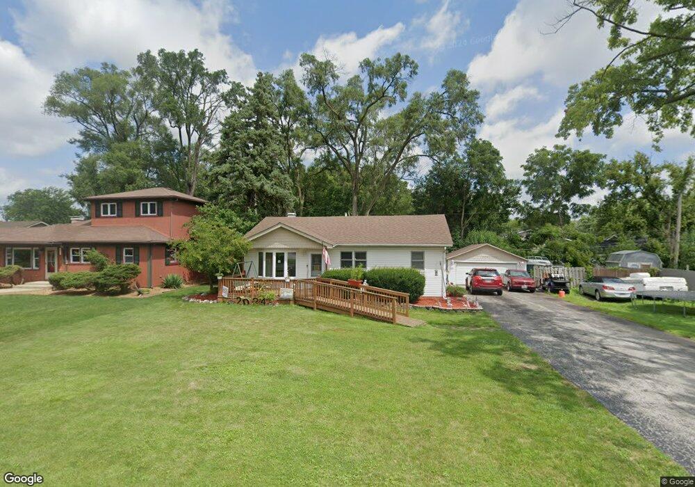
5108 154th St Oak Forest, IL 60452
Estimated Value: $199,000 - $281,000
3
Beds
1
Bath
900
Sq Ft
$271/Sq Ft
Est. Value
About This Home
This home is located at 5108 154th St, Oak Forest, IL 60452 and is currently estimated at $243,856, approximately $270 per square foot. 5108 154th St is a home located in Cook County with nearby schools including Kerkstra Elementary School, Jack Hille Middle School, and Oak Forest High School.
Ownership History
Date
Name
Owned For
Owner Type
Purchase Details
Closed on
May 17, 2005
Sold by
Ryon Richard M and Ryon Patricia M
Bought by
Great Lakes Trust Co Na and Trust #05-034
Current Estimated Value
Purchase Details
Closed on
Oct 9, 1998
Sold by
Brand Margaret Lynn and Flanigan John B
Bought by
Ryon Richard M and Ryon Patricia M
Home Financials for this Owner
Home Financials are based on the most recent Mortgage that was taken out on this home.
Original Mortgage
$117,331
Interest Rate
6.9%
Mortgage Type
FHA
Create a Home Valuation Report for This Property
The Home Valuation Report is an in-depth analysis detailing your home's value as well as a comparison with similar homes in the area
Home Values in the Area
Average Home Value in this Area
Purchase History
| Date | Buyer | Sale Price | Title Company |
|---|---|---|---|
| Great Lakes Trust Co Na | -- | None Available | |
| Ryon Richard M | $118,500 | -- | |
| Ryon Richard M | $118,500 | -- |
Source: Public Records
Mortgage History
| Date | Status | Borrower | Loan Amount |
|---|---|---|---|
| Previous Owner | Ryon Richard M | $117,331 |
Source: Public Records
Tax History
| Year | Tax Paid | Tax Assessment Tax Assessment Total Assessment is a certain percentage of the fair market value that is determined by local assessors to be the total taxable value of land and additions on the property. | Land | Improvement |
|---|---|---|---|---|
| 2025 | $4,595 | $18,000 | $4,044 | $13,956 |
| 2024 | $4,595 | $18,000 | $4,044 | $13,956 |
| 2023 | $3,680 | $18,000 | $4,044 | $13,956 |
| 2022 | $3,680 | $12,187 | $3,539 | $8,648 |
| 2021 | $3,626 | $12,186 | $3,538 | $8,648 |
| 2020 | $3,576 | $12,186 | $3,538 | $8,648 |
| 2019 | $4,038 | $13,454 | $3,285 | $10,169 |
| 2018 | $3,967 | $13,454 | $3,285 | $10,169 |
| 2017 | $4,005 | $13,454 | $3,285 | $10,169 |
| 2016 | $3,712 | $11,532 | $2,780 | $8,752 |
| 2015 | $3,573 | $11,532 | $2,780 | $8,752 |
| 2014 | $3,490 | $11,532 | $2,780 | $8,752 |
| 2013 | $3,670 | $13,144 | $2,780 | $10,364 |
Source: Public Records
Map
Nearby Homes
- 15346 Le Claire Ave
- 5308 Woodland Dr Unit A
- 15201 Lavergne Ave
- 15134 Laramie Ave
- 16207 Long Ave
- 15527 Lamon Ave
- 15705 Laramie Ave
- 17301 Lockwood Ave
- 5251 157th St Unit 6
- 4932 158th St
- 14913 Sheila Ct
- 5310 W 159th St
- 15020 Park Ave
- 16352 169 Lot #13 Place
- 16917 W Thackeray Lot #10 St
- 16352 169 Lot #15 Place
- 14901 S Cicero Ave
- 16913 Thackeray Lot 9 St
- 16352 169 Lot #7 Place
- 16352 169 Lot #14 Place
- 15324 Le Claire Ave
- 15324 Leclaire Ave
- 5124 154th St
- 15410 Le Claire Ave
- 15320 Le Claire Ave
- 5123 154th St
- 5127 154th St
- 5132 154th St
- 15420 Le Claire Ave
- 15349 Le Claire Ave
- 15325 Le Claire Ave
- 15316 Le Claire Ave
- 5133 155th St
- 5133 155th St
- 15321 Le Claire Ave
- 15428 Le Claire Ave
- 15423 Le Claire Ave
- 15359 Laramie Ave
- 15355 Laramie Ave
Your Personal Tour Guide
Ask me questions while you tour the home.