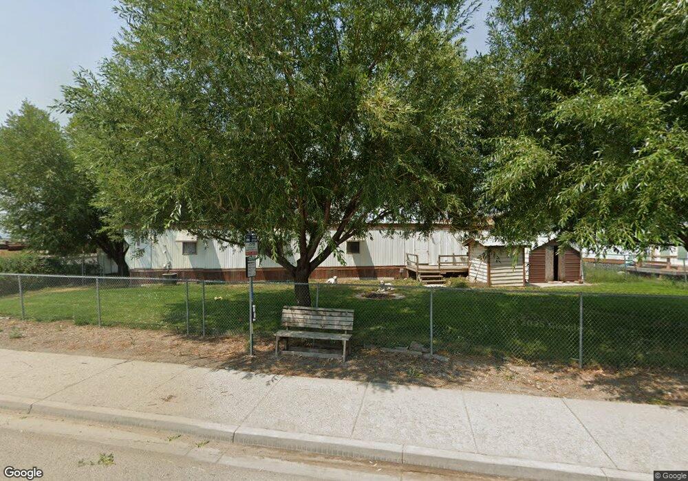
5108 S Cove Rd Franklin, ID 83237
Estimated Value: $410,000 - $511,000
3
Beds
2
Baths
3,330
Sq Ft
$139/Sq Ft
Est. Value
About This Home
This home is located at 5108 S Cove Rd, Franklin, ID 83237 and is currently estimated at $464,035, approximately $139 per square foot. 5108 S Cove Rd is a home located in Franklin County with nearby schools including Lewiston School, White Pine Middle School, and North Cache Middle School.
Ownership History
Date
Name
Owned For
Owner Type
Purchase Details
Closed on
Dec 18, 2023
Sold by
Porter W Douglas W and Porter Debra H
Bought by
Porter Family Legacy Trust and Porter
Current Estimated Value
Purchase Details
Closed on
Dec 20, 2022
Sold by
Porter Debra H
Bought by
Porter Willard Douglas
Home Financials for this Owner
Home Financials are based on the most recent Mortgage that was taken out on this home.
Original Mortgage
$255,500
Interest Rate
6.38%
Mortgage Type
Balloon
Purchase Details
Closed on
Dec 19, 2022
Sold by
Fern Shumway Porter Family Trust
Bought by
Porter Willard Douglas
Home Financials for this Owner
Home Financials are based on the most recent Mortgage that was taken out on this home.
Original Mortgage
$255,500
Interest Rate
6.38%
Mortgage Type
Balloon
Purchase Details
Closed on
Jul 21, 2014
Sold by
Porter Kent Dee and Porter Steven Earl
Bought by
Porter Fern Shumway and The Fern Shumway Porter Family Trust
Create a Home Valuation Report for This Property
The Home Valuation Report is an in-depth analysis detailing your home's value as well as a comparison with similar homes in the area
Purchase History
| Date | Buyer | Sale Price | Title Company |
|---|---|---|---|
| Porter Family Legacy Trust | -- | Titleone | |
| Porter Willard Douglas | -- | Northern Title Company | |
| Porter Willard Douglas | -- | Northern Title Company | |
| Porter Fern Shumway | -- | None Available |
Source: Public Records
Mortgage History
| Date | Status | Borrower | Loan Amount |
|---|---|---|---|
| Previous Owner | Porter Willard Douglas | $255,500 |
Source: Public Records
Tax History
| Year | Tax Paid | Tax Assessment Tax Assessment Total Assessment is a certain percentage of the fair market value that is determined by local assessors to be the total taxable value of land and additions on the property. | Land | Improvement |
|---|---|---|---|---|
| 2025 | $2,113 | $400,453 | $82,500 | $317,953 |
| 2024 | $2,307 | $400,453 | $82,500 | $317,953 |
| 2023 | $2,404 | $404,432 | $82,500 | $321,932 |
| 2022 | $1,813 | $365,692 | $43,000 | $322,692 |
| 2021 | $726 | $336,405 | $43,000 | $293,405 |
| 2019 | $374 | $219,626 | $43,000 | $176,626 |
| 2018 | $358 | $209,426 | $32,800 | $176,626 |
| 2017 | $370 | $212,415 | $32,800 | $179,615 |
| 2016 | $183 | $148,440 | $32,800 | $115,640 |
| 2015 | $182 | $148,440 | $32,800 | $115,640 |
| 2014 | $5,411 | $131,910 | $32,800 | $99,110 |
| 2013 | $4,695 | $140,650 | $32,800 | $107,850 |
Source: Public Records
Map
Nearby Homes
- 483 S 30 E
- 36 W Legacy Dr
- 227 E Main St
- 209 E Main St
- 35 N 2nd E
- 150 N 300 E
- 3647 E Maple Creek Rd
- 4008 Little Mountain Cir
- 690 E 4800 S Unit 1
- 690 E 4800 S Unit 2
- 5337 E Maple Creek Rd Unit 1
- 3201 Cherryville Ln Unit 3
- 3597 S Mountain Meadows Dr Unit 15
- 13485 N 2200 E
- 1009 E High Creek Rd
- 2307 Maple Leaf Dr
- 2214 S 1600 E
- 2214 S 1600 E
- 50 W 300 S
- 3436 Cub River Rd
- 5164 S Cove Rd
- 4994 S Cove Rd
- 5214 S Cove Rd
- 4849 S Cove Rd
- 4853 S Cove Rd
- 3634 E Laurel Dr
- 3608 E Laurel Dr
- 3584 E Laurel Dr
- 3553 E Laurel Dr
- 3668 E Laurel Dr
- 3613 E Laurel Dr
- 3714 E Laurel Dr
- 3663 E Laurel Dr
- 3697 E Laurel Dr
- 5368 S Cove Rd
- 495 S 2nd E
- 374 S 2nd E
- 3577 E Laurel Dr
- 4803 S Cove Rd
- 4928 1st St
Your Personal Tour Guide
Ask me questions while you tour the home.