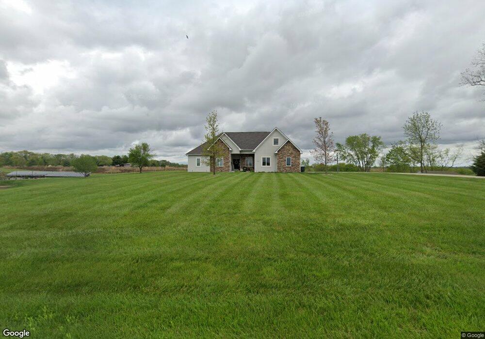
5109 Cook Rd Saint Joseph, MO 64505
East Saint Joseph NeighborhoodEstimated Value: $414,000 - $729,000
--
Bed
--
Bath
2,574
Sq Ft
$203/Sq Ft
Est. Value
About This Home
This home is located at 5109 Cook Rd, Saint Joseph, MO 64505 and is currently estimated at $522,902, approximately $203 per square foot. 5109 Cook Rd is a home located in Buchanan County with nearby schools including Oak Grove Elementary School, Robidoux Middle School, and Lafayette High School.
Ownership History
Date
Name
Owned For
Owner Type
Purchase Details
Closed on
Jun 24, 2022
Sold by
Clark Stephen T
Bought by
Clark Lacey D
Current Estimated Value
Purchase Details
Closed on
Nov 30, 2012
Sold by
Power Gary R and Power Dianna L
Bought by
Clark Stephen and Clark Lacey
Home Financials for this Owner
Home Financials are based on the most recent Mortgage that was taken out on this home.
Original Mortgage
$62,000
Interest Rate
3.4%
Purchase Details
Closed on
Dec 6, 2011
Sold by
Power Gary R and Power Dianna L
Bought by
Power Gary R and Power Dianna L
Create a Home Valuation Report for This Property
The Home Valuation Report is an in-depth analysis detailing your home's value as well as a comparison with similar homes in the area
Home Values in the Area
Average Home Value in this Area
Purchase History
| Date | Buyer | Sale Price | Title Company |
|---|---|---|---|
| Clark Lacey D | -- | None Listed On Document | |
| Clark Stephen | -- | St Joseph Title & Abstract C | |
| Power Gary R | -- | None Available |
Source: Public Records
Mortgage History
| Date | Status | Borrower | Loan Amount |
|---|---|---|---|
| Previous Owner | Clark Stephen | $62,000 |
Source: Public Records
Tax History Compared to Growth
Tax History
| Year | Tax Paid | Tax Assessment Tax Assessment Total Assessment is a certain percentage of the fair market value that is determined by local assessors to be the total taxable value of land and additions on the property. | Land | Improvement |
|---|---|---|---|---|
| 2024 | $5,424 | $77,750 | $5,700 | $72,050 |
| 2023 | $5,424 | $77,750 | $5,700 | $72,050 |
| 2022 | $5,019 | $77,750 | $5,700 | $72,050 |
| 2021 | $5,042 | $77,750 | $5,700 | $72,050 |
| 2020 | $5,014 | $77,750 | $5,700 | $72,050 |
| 2019 | $4,837 | $77,750 | $5,700 | $72,050 |
Source: Public Records
Map
Nearby Homes
- 5201 Cook Rd
- 4902 Corinth Dr
- 4809 N Lakewood Dr
- 4706 Donnelly Dr
- 4703 Woodland Shores Ct
- 4730 Woodland Ct
- 4732 Woodland Ct
- 4733 Woodland Ct
- 4734 Woodland Ct
- 3804 Kingston Ct
- 3201 Sheffield Ln
- 5418 N Pointe Dr
- 5408 N Pointe Dr
- 5415 N Pointe Dr
- 5411 N Pointe Dr
- 2 N Pointe Dr
- 0 N Pointe Dr
- 4600 Valley Ridge Dr
- 4504 Valley Ridge Dr
- 4506 Valley Ridge Dr
- 5107 Cook Rd
- 5105 Cook Rd
- 5102 Cook Rd
- 5012 Cook Rd
- 5101 Cook Rd
- 3901 Bishop Rd
- 4907 Aegean Terrace
- 3807 Corinth Ct
- 4910 Aegean Terrace
- 3805 Corinth Ct
- 3810 Corinth Ct
- 4905 Aegean Terrace
- 4908 Aegean Terrace
- 4911 Corinth Dr
- 3803 Corinth Ct
- 4906 Aegean Terrace
- 4903 Aegean Terrace
- 3808 Corinth Ct
- 3801 Corinth Ct
- 3806 Corinth Ct