5109 Linkside Dr Las Vegas, NV 89130
North Cheyenne NeighborhoodEstimated Value: $502,136 - $564,000
3
Beds
2
Baths
2,142
Sq Ft
$244/Sq Ft
Est. Value
About This Home
This home is located at 5109 Linkside Dr, Las Vegas, NV 89130 and is currently estimated at $522,284, approximately $243 per square foot. 5109 Linkside Dr is a home located in Clark County with nearby schools including Ernest May Elementary School, Theron L Swainston Middle School, and Shadow Ridge High School.
Ownership History
Date
Name
Owned For
Owner Type
Purchase Details
Closed on
Dec 7, 2009
Sold by
Haley Megan Slaven Fox
Bought by
Lambrich Linda F
Current Estimated Value
Home Financials for this Owner
Home Financials are based on the most recent Mortgage that was taken out on this home.
Original Mortgage
$201,286
Outstanding Balance
$132,030
Interest Rate
5.01%
Mortgage Type
FHA
Estimated Equity
$390,254
Purchase Details
Closed on
Dec 23, 1996
Sold by
Truitt Frank W and Truitt Joyce Q
Bought by
The Truitt 1996 Trust
Create a Home Valuation Report for This Property
The Home Valuation Report is an in-depth analysis detailing your home's value as well as a comparison with similar homes in the area
Home Values in the Area
Average Home Value in this Area
Purchase History
| Date | Buyer | Sale Price | Title Company |
|---|---|---|---|
| Lambrich Linda F | $205,000 | North American Title Main | |
| The Truitt 1996 Trust | -- | -- | |
| The Truitt 1996 Trust | -- | -- | |
| The Truitt 1996 Trust | -- | -- |
Source: Public Records
Mortgage History
| Date | Status | Borrower | Loan Amount |
|---|---|---|---|
| Open | Lambrich Linda F | $201,286 |
Source: Public Records
Tax History Compared to Growth
Tax History
| Year | Tax Paid | Tax Assessment Tax Assessment Total Assessment is a certain percentage of the fair market value that is determined by local assessors to be the total taxable value of land and additions on the property. | Land | Improvement |
|---|---|---|---|---|
| 2025 | $2,197 | $107,652 | $34,300 | $73,352 |
| 2024 | $2,133 | $107,652 | $34,300 | $73,352 |
| 2023 | $2,133 | $105,155 | $35,000 | $70,155 |
| 2022 | $2,071 | $92,154 | $27,300 | $64,854 |
| 2021 | $2,011 | $86,524 | $24,500 | $62,024 |
| 2020 | $1,950 | $85,311 | $23,450 | $61,861 |
| 2019 | $1,893 | $81,928 | $20,650 | $61,278 |
| 2018 | $1,838 | $77,348 | $17,850 | $59,498 |
| 2017 | $2,496 | $76,140 | $15,400 | $60,740 |
| 2016 | $1,741 | $69,677 | $12,250 | $57,427 |
| 2015 | $1,737 | $62,644 | $8,750 | $53,894 |
| 2014 | $1,686 | $49,901 | $8,750 | $41,151 |
Source: Public Records
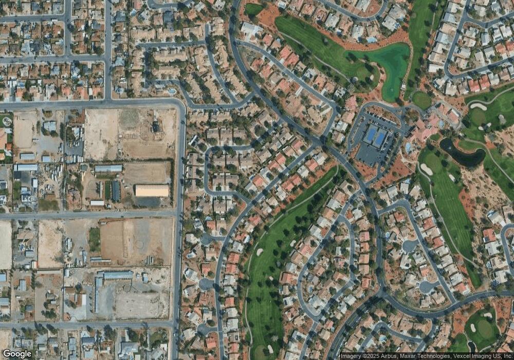
Map
Nearby Homes
- 5600 Segolilly Cir
- 5004 Rancho Bernardo Way
- 5605 Bay Shore Cir
- 4905 Ocean Shores Way
- 5204 Rim View Ln
- 5229 Shady Grove Ln
- 4833 Fiesta Lakes St
- 4933 Fiesta Lakes St
- 4821 Fiesta Lakes St
- 5876 Filmore Ave
- 4872 Maryvale Dr
- 4816 Fiesta Lakes St
- 4817 Friar Ln
- 4808 Fiesta Lakes St
- 4801 Fiesta Lakes St
- 5620 N Jones Blvd
- 5876 Tippin Dr
- 4852 Maryvale Dr
- 5021 Cliffrose Dr
- 5017 Cliffrose Dr
- 5113 Linkside Dr
- 5105 Linkside Dr
- 5545 Port Barrington Way Unit 2
- 5600 Beach Mill Way Unit 2
- 5117 Linkside Dr Unit 2
- 5549 Port Barrington Way
- 5108 Linkside Dr
- 5112 Linkside Dr
- 5601 Port Barrington Way
- 5604 Beach Mill Way
- 5104 Linkside Dr
- 5116 Linkside Dr
- 5537 Port Barrington Way
- 5121 Linkside Dr
- 5605 Port Barrington Way
- 5601 Beach Mill Way Unit 2
- 5533 Port Barrington Way
- 5120 Linkside Dr
- 5100 Linkside Dr
- 5609 Port Barrington Way