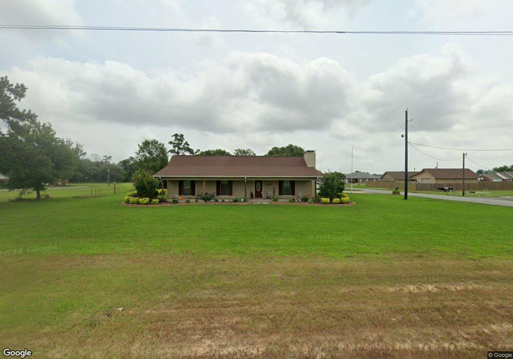
5109 Pete Seay Rd Sulphur, LA 70665
Estimated Value: $216,737 - $273,000
3
Beds
2
Baths
1,967
Sq Ft
$124/Sq Ft
Est. Value
About This Home
This home is located at 5109 Pete Seay Rd, Sulphur, LA 70665 and is currently estimated at $244,684, approximately $124 per square foot. 5109 Pete Seay Rd is a home located in Calcasieu Parish with nearby schools including Cypress Cove Elementary School, W.W. Lewis Middle School, and Sulphur High School.
Ownership History
Date
Name
Owned For
Owner Type
Purchase Details
Closed on
Sep 29, 2006
Sold by
Moreno Anderson Evelyn and Moreno Fred M
Bought by
Hendrix Terry Lynn and Hendrix Debbie Ann
Current Estimated Value
Home Financials for this Owner
Home Financials are based on the most recent Mortgage that was taken out on this home.
Original Mortgage
$134,545
Interest Rate
7.75%
Mortgage Type
Credit Line Revolving
Create a Home Valuation Report for This Property
The Home Valuation Report is an in-depth analysis detailing your home's value as well as a comparison with similar homes in the area
Home Values in the Area
Average Home Value in this Area
Purchase History
| Date | Buyer | Sale Price | Title Company |
|---|---|---|---|
| Hendrix Terry Lynn | -- | None Available |
Source: Public Records
Mortgage History
| Date | Status | Borrower | Loan Amount |
|---|---|---|---|
| Closed | Hendrix Terry Lynn | $134,545 |
Source: Public Records
Tax History Compared to Growth
Tax History
| Year | Tax Paid | Tax Assessment Tax Assessment Total Assessment is a certain percentage of the fair market value that is determined by local assessors to be the total taxable value of land and additions on the property. | Land | Improvement |
|---|---|---|---|---|
| 2024 | $1,069 | $17,020 | $2,430 | $14,590 |
| 2023 | $1,069 | $17,020 | $2,430 | $14,590 |
| 2022 | $1,046 | $17,020 | $2,430 | $14,590 |
| 2021 | $1,064 | $17,020 | $2,430 | $14,590 |
| 2020 | $1,697 | $15,460 | $2,330 | $13,130 |
| 2019 | $1,888 | $16,840 | $2,250 | $14,590 |
| 2018 | $1,061 | $16,840 | $2,250 | $14,590 |
| 2017 | $1,959 | $16,840 | $2,250 | $14,590 |
| 2016 | $2,065 | $16,840 | $2,250 | $14,590 |
| 2015 | $2,065 | $16,840 | $2,250 | $14,590 |
Source: Public Records
Map
Nearby Homes
- 2131 Madewood St
- 2212 Bon Vie Dr
- 2151 Madewood St
- 2167 Madewood St
- 2181 Madewood St
- 4903 Poplar Grove St
- 2160 Madewood St
- 4968 Myrtle Hill St
- 5221 E Iona Dr
- 2174 Madewood St
- 0 Madewood St Unit SWL23003618
- 0 Madewood St Unit SWL21010694
- 0 Madewood St Unit SWL21010702
- 0 Madewood St Unit SWL21010711
- 0 Madewood St Unit SWL21010700
- 0 Myrtle Hill St Unit SWL21010699
- 0 Madewood St Unit SWL21010708
- 0 Madewood St Unit SWL21010707
- 0 Myrtle Hill St Unit SWL21010697
- 0 Madewood St Unit SWL21010691
- 2014 N Iona Dr
- 5205 Pete Seay Rd
- 5114 Claire Dr
- 5125 Pete Seay Rd
- 2008 N Iona Dr
- 5225 Pete Seay Rd
- 5208 Claire Dr
- 5115 Claire Dr
- 5101 Pete Seay Rd
- 5247 Pete Seay Rd
- 5121 Claire Dr
- 2002 N Iona Dr
- 5164 Rock Dr
- 5209 Claire Dr
- 5172 Rock Dr
- 0 Rock Dr
- 5271 Pete Seay Rd
- 5214 Claire Dr
- 5252 Rock Dr
- 5215 Claire Dr