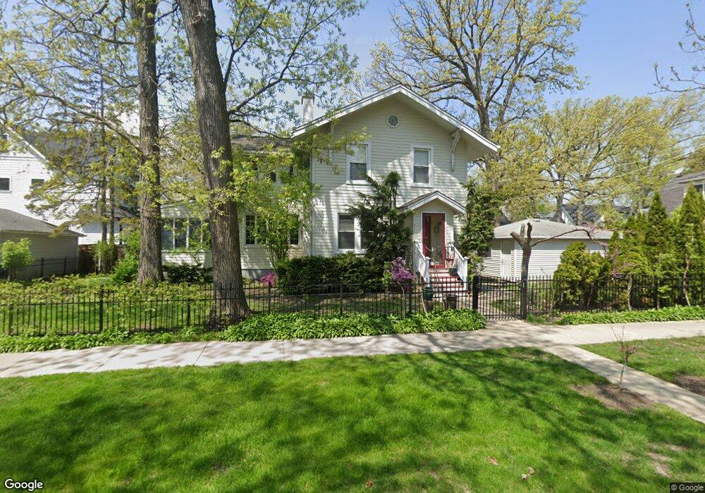
511 10th St Wilmette, IL 60091
Estimated Value: $771,000 - $882,000
3
Beds
2
Baths
1,576
Sq Ft
$533/Sq Ft
Est. Value
About This Home
This home is located at 511 10th St, Wilmette, IL 60091 and is currently estimated at $839,673, approximately $532 per square foot. 511 10th St is a home located in Cook County with nearby schools including Central Elementary School, Highcrest Middle School, and Wilmette Junior High School.
Ownership History
Date
Name
Owned For
Owner Type
Purchase Details
Closed on
May 2, 2008
Sold by
Walsh Pietrowicz John W and Walsh Pietrowicz Molly
Bought by
Daniels William Thomas and Cheng Daniels Kuin Lee
Current Estimated Value
Home Financials for this Owner
Home Financials are based on the most recent Mortgage that was taken out on this home.
Original Mortgage
$417,000
Outstanding Balance
$260,545
Interest Rate
5.88%
Mortgage Type
Unknown
Estimated Equity
$579,128
Purchase Details
Closed on
Sep 30, 1993
Sold by
Wold Nelson B and Wold Luan
Bought by
Walsh Pietrowicz John W and Walsh Pietrowicz Molly
Home Financials for this Owner
Home Financials are based on the most recent Mortgage that was taken out on this home.
Original Mortgage
$226,800
Interest Rate
7.05%
Create a Home Valuation Report for This Property
The Home Valuation Report is an in-depth analysis detailing your home's value as well as a comparison with similar homes in the area
Home Values in the Area
Average Home Value in this Area
Purchase History
| Date | Buyer | Sale Price | Title Company |
|---|---|---|---|
| Daniels William Thomas | $550,000 | Fort Dearborn Land Title Llc | |
| Walsh Pietrowicz John W | $189,000 | -- |
Source: Public Records
Mortgage History
| Date | Status | Borrower | Loan Amount |
|---|---|---|---|
| Open | Daniels William Thomas | $417,000 | |
| Previous Owner | Walsh Pietrowicz John W | $226,800 |
Source: Public Records
Tax History
| Year | Tax Paid | Tax Assessment Tax Assessment Total Assessment is a certain percentage of the fair market value that is determined by local assessors to be the total taxable value of land and additions on the property. | Land | Improvement |
|---|---|---|---|---|
| 2025 | $11,680 | $87,000 | $16,250 | $70,750 |
| 2024 | $11,680 | $53,465 | $13,750 | $39,715 |
| 2023 | $12,238 | $54,789 | $13,750 | $41,039 |
| 2022 | $12,238 | $60,400 | $13,750 | $46,650 |
| 2021 | $11,150 | $46,248 | $10,000 | $36,248 |
| 2020 | $12,045 | $50,235 | $10,000 | $40,235 |
| 2019 | $12,029 | $56,161 | $10,000 | $46,161 |
| 2018 | $8,985 | $41,202 | $8,500 | $32,702 |
| 2017 | $9,377 | $43,913 | $8,500 | $35,413 |
| 2016 | $10,211 | $49,476 | $8,500 | $40,976 |
| 2015 | $9,189 | $39,639 | $7,000 | $32,639 |
| 2014 | $9,056 | $39,639 | $7,000 | $32,639 |
| 2013 | $8,635 | $39,639 | $7,000 | $32,639 |
Source: Public Records
Map
Nearby Homes
- 526 8th St
- 1029 Lake Ave
- 719 Washington Ave
- 1209 Maple Ave
- 835 Forest Ave
- 1241 Maple Ave
- 526 Linden Ave
- 626 Washington Ave
- 111 Park Ave
- 1119 Forest Ave
- 621 Green Bay Rd
- 922 Forest Ave
- 2508 Isabella St
- 512 Central Ave
- 829 Elmwood Ave
- 2315 Park Place
- 420 Linden Ave Unit 502
- 2500 Thayer St
- 414 Laurel Ave
- 412 Central Ave
- 1006 Linden Ave
- 1002 Linden Ave
- 1010 Linden Ave
- 934 Linden Ave
- 1012 Linden Ave
- 930 Linden Ave
- 1011 Greenleaf Ave
- 1005 Greenleaf Ave
- 927 Greenleaf Ave
- 1016 Linden Ave
- 1015 Greenleaf Ave
- 925 Greenleaf Ave
- 1020 Linden Ave
- 1017 Greenleaf Ave
- 923 Greenleaf Ave
- 920 Linden Ave
- 920 Linden Ave Unit 501
- 1021 Greenleaf Ave
- 1026 Linden Ave
- 1001 Linden Ave
Your Personal Tour Guide
Ask me questions while you tour the home.