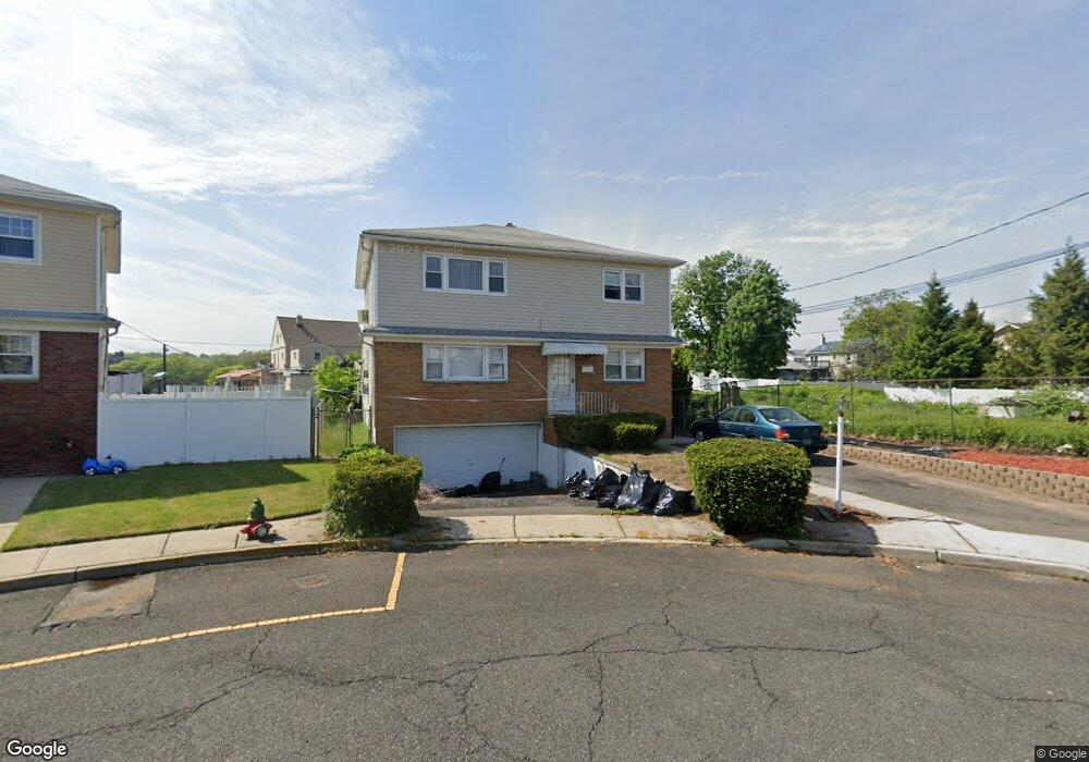
511 Anthony Ct Lyndhurst, NJ 07071
Estimated Value: $812,765 - $992,000
Studio
--
Bath
1,984
Sq Ft
$451/Sq Ft
Est. Value
About This Home
This home is located at 511 Anthony Ct, Lyndhurst, NJ 07071 and is currently estimated at $894,441, approximately $450 per square foot. 511 Anthony Ct is a home located in Bergen County with nearby schools including Lyndhurst High School and Abundant Life Academy.
Ownership History
Date
Name
Owned For
Owner Type
Purchase Details
Closed on
Dec 22, 2005
Sold by
Madden Gail
Bought by
Demirbulakli Beyhan and Demirbulakli Volkan
Current Estimated Value
Home Financials for this Owner
Home Financials are based on the most recent Mortgage that was taken out on this home.
Original Mortgage
$440,000
Interest Rate
6.27%
Create a Home Valuation Report for This Property
The Home Valuation Report is an in-depth analysis detailing your home's value as well as a comparison with similar homes in the area
Home Values in the Area
Average Home Value in this Area
Purchase History
| Date | Buyer | Sale Price | Title Company |
|---|---|---|---|
| Demirbulakli Beyhan | $550,000 | -- |
Source: Public Records
Mortgage History
| Date | Status | Borrower | Loan Amount |
|---|---|---|---|
| Previous Owner | Demirbulakli Beyhan | $440,000 |
Source: Public Records
Tax History
| Year | Tax Paid | Tax Assessment Tax Assessment Total Assessment is a certain percentage of the fair market value that is determined by local assessors to be the total taxable value of land and additions on the property. | Land | Improvement |
|---|---|---|---|---|
| 2025 | $13,033 | $630,000 | $326,600 | $303,400 |
| 2024 | $12,596 | $624,800 | $322,800 | $302,000 |
| 2023 | $11,219 | $619,900 | $319,400 | $300,500 |
| 2022 | $11,219 | $353,700 | $185,000 | $168,700 |
| 2021 | $10,752 | $353,700 | $185,000 | $168,700 |
| 2020 | $10,519 | $353,700 | $185,000 | $168,700 |
| 2019 | $10,441 | $353,700 | $185,000 | $168,700 |
| 2018 | $10,526 | $353,700 | $185,000 | $168,700 |
| 2017 | $10,261 | $353,700 | $185,000 | $168,700 |
| 2016 | $10,031 | $353,700 | $185,000 | $168,700 |
| 2015 | $9,716 | $353,700 | $185,000 | $168,700 |
| 2014 | $9,589 | $353,700 | $185,000 | $168,700 |
Source: Public Records
Map
Nearby Homes
- 200 Page Ave
- 179 Page Ave
- 133 Forest Ave
- 651 Riverside Ave Unit A7
- 103 River Rd Unit A1
- 520 Prospect Place
- 747 Riverside Ave Unit 38
- 747 Riverside Ave Unit 3-C
- 525 Stuyvesant Ave Unit 2
- 525 Stuyvesant Ave
- 179 Fern Ave
- 712 Meyer Ave
- 715 Stuyvesant Ave
- 46 Humbert St
- 779 Riverside Ave Unit 104
- 779 Riverside Ave
- 779 Riverside Ave Unit 201
- 14 River Rd Unit F
- 11 River Rd Unit 11-L
- 715 Tyler St
- 515 Anthony Ct
- 126 Page Ave
- 122 Page Ave Unit 2nd
- 120 Page Ave
- 130 Page Ave
- 523 Anthony Ct
- 527 Anthony Ct
- 527 Anthony Ct Unit 2
- 116 Page Ave
- 136 Page Ave
- 514 Anthony Ct 2
- 514 Riverside Ave
- 112 Page Ave
- 514 Anthony Ct
- 514 Anthony Ct Unit 2
- 138 Page Ave
- 117 Kingsland Ave
- 121 Kingsland Ave
- 140 Page Ave
- 125 Kingsland Ave
Your Personal Tour Guide
Ask me questions while you tour the home.