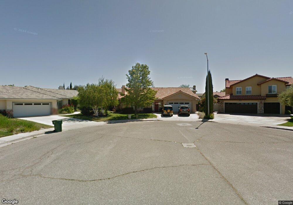
511 Creekside Ct Paso Robles, CA 93446
Estimated Value: $752,829 - $912,000
About This Home
This home is located at 511 Creekside Ct, Paso Robles, CA 93446 and is currently estimated at $818,707, approximately $409 per square foot. 511 Creekside Ct is a home located in San Luis Obispo County with nearby schools including Virginia Peterson Elementary School, Daniel Lewis Middle School, and Paso Robles High School.
Ownership History
We collect this data history from publicly available records. To have your information removed, we recommend requesting removal directly through your county’s website.
Purchase Details
Purchase Details
Home Financials for this Owner
Home Financials are based on the most recent Mortgage that was taken out on this home.Purchase History
We collect this data history from publicly available records. To have your information removed, we recommend requesting removal directly through your county’s website.
| Date | Buyer | Sale Price | Title Company |
|---|---|---|---|
| -- | None Available | ||
| $285,000 | Cuesta Title Company |
Mortgage History
We collect this data history from publicly available records. To have your information removed, we recommend requesting removal directly through your county’s website.
| Date | Status | Borrower | Loan Amount |
|---|---|---|---|
| Previous Owner | $125,000 |
Tax History
We collect this data history from publicly available records. To have your information removed, we recommend requesting removal directly through your county’s website.
| Year | Tax Paid | Tax Assessment Tax Assessment Total Assessment is a certain percentage of the fair market value that is determined by local assessors to be the total taxable value of land and additions on the property. | Land | Improvement |
|---|---|---|---|---|
| 2025 | $653 | $59,663 | $26,420 | $33,243 |
| 2024 | $642 | $58,494 | $25,902 | $32,592 |
| 2023 | $642 | $57,348 | $25,395 | $31,953 |
| 2022 | $632 | $56,225 | $24,898 | $31,327 |
| 2021 | $621 | $55,123 | $24,410 | $30,713 |
| 2020 | $613 | $54,559 | $24,160 | $30,399 |
| 2019 | $604 | $53,490 | $23,687 | $29,803 |
| 2018 | $595 | $52,442 | $23,223 | $29,219 |
| 2017 | $563 | $51,415 | $22,768 | $28,647 |
| 2016 | $552 | $50,408 | $22,322 | $28,086 |
| 2015 | $551 | $49,652 | $21,987 | $27,665 |
| 2014 | $533 | $48,681 | $21,557 | $27,124 |
Map
- 1945 Fieldstone Cir
- 618 Queenanne Rd
- 517 Queenanne Rd
- 2306 Latigo Ct
- 902 Larable Ct
- 908 Larable Ct
- 924 Riata Ct
- 1740 Westfield Rd
- 5185 Airport Rd
- 1934 Tulipwood Dr
- 1006 Running Stag Way
- 1429 Stoney Creek Rd
- 1032 Scott St
- 1035 Pioneer Trail Rd
- 503 Turtle Creek Rd
- 204 Nighthawk Dr
- 2457 Winding Brook Rd
- 3731 Rosado Rd
- 3725 Rosado Rd
- 1105 Parkview Ln
- 510 Creekside Ct
- 509 Creekside Ct
- 1940 Fieldstone Cir
- 1938 Fieldstone Cir
- 508 Creekside Ct
- 1936 Fieldstone Cir
- 1942 Fieldstone Cir
- 507 Creekside Ct
- 509 Larkfield Place
- 1924 Fieldstone Cir
- 506 Creekside Ct
- 507 Larkfield Place
- 1922 Fieldstone Cir
- 1944 Fieldstone Cir
- 1926 Fieldstone Cir
- 1920 Fieldstone Cir
- 1939 Fieldstone Cir
- 1902 Fieldstone Cir
- 1941 Fieldstone Cir
- 1918 Fieldstone Cir
Ask me questions while you tour the home.