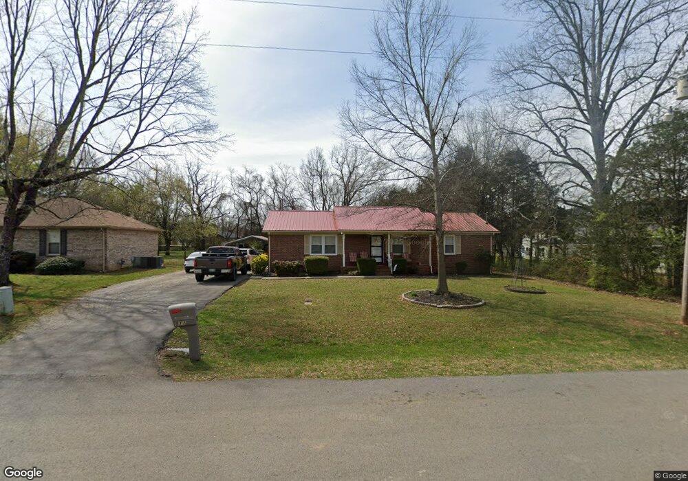
511 Crusade Rd Murfreesboro, TN 37129
Murfreesboro AreaEstimated Value: $308,187 - $394,000
About This Home
This home is located at 511 Crusade Rd, Murfreesboro, TN 37129 and is currently estimated at $350,297, approximately $254 per square foot. 511 Crusade Rd is a home located in Rutherford County with nearby schools including Walter Hill Elementary School, Siegel Middle School, and Siegel High School.
Ownership History
We collect this data history from publicly available records. To have your information removed, we recommend requesting removal directly through your county’s website.
Purchase Details
Home Financials for this Owner
Home Financials are based on the most recent Mortgage that was taken out on this home.Purchase Details
Home Financials for this Owner
Home Financials are based on the most recent Mortgage that was taken out on this home.Purchase Details
Home Values in the Area
Average Home Value in this Area
Purchase History
We collect this data history from publicly available records. To have your information removed, we recommend requesting removal directly through your county’s website.
| Date | Buyer | Sale Price | Title Company |
|---|---|---|---|
| $184,000 | Watauga Title & Escrow Co | ||
| $127,900 | -- | ||
| $72,900 | -- |
Mortgage History
We collect this data history from publicly available records. To have your information removed, we recommend requesting removal directly through your county’s website.
| Date | Status | Borrower | Loan Amount |
|---|---|---|---|
| Open | $180,667 | ||
| Previous Owner | $90,900 | ||
| Previous Owner | $102,320 | ||
| Previous Owner | $82,400 | ||
| Previous Owner | $78,721 | ||
| Previous Owner | $99,000 |
Tax History
We collect this data history from publicly available records. To have your information removed, we recommend requesting removal directly through your county’s website.
| Year | Tax Paid | Tax Assessment Tax Assessment Total Assessment is a certain percentage of the fair market value that is determined by local assessors to be the total taxable value of land and additions on the property. | Land | Improvement |
|---|---|---|---|---|
| 2025 | $1,205 | $64,225 | $13,750 | $50,475 |
| 2024 | $1,205 | $64,225 | $13,750 | $50,475 |
| 2023 | $1,205 | $64,225 | $13,750 | $50,475 |
| 2022 | $1,038 | $64,225 | $13,750 | $50,475 |
| 2021 | $988 | $44,525 | $8,750 | $35,775 |
| 2020 | $988 | $44,525 | $8,750 | $35,775 |
| 2019 | $988 | $44,525 | $8,750 | $35,775 |
| 2018 | $935 | $44,525 | $0 | $0 |
| 2017 | $880 | $32,825 | $0 | $0 |
| 2016 | $880 | $32,825 | $0 | $0 |
| 2015 | $880 | $32,825 | $0 | $0 |
| 2014 | $816 | $32,825 | $0 | $0 |
| 2013 | -- | $32,425 | $0 | $0 |
Map
- 4224 Stark St
- 818 General Westmoreland Ct
- 4023 Cavalier Dr
- 4501 Lebanon Rd
- 1044 Cherry Ln
- 5145 Macarthur Ave
- 1123 Bramble Trail
- 1141 Cranberry Dr
- 207 Fairmont Dr
- 4766 Lebanon Pike
- 5016 Lady Thatcher Dr
- 5121 General Patton Ave
- 5139 Heroes Ln
- 1315 Alamo Ave
- 1322 Alamo Ave
- 3647 Old Lebanon Pike
- 1333 Sam Houston Ave
- 5241 Ticonderoga Ave
- 1411 Alamo Ave
- 1410 Alamo Ave
Ask me questions while you tour the home.