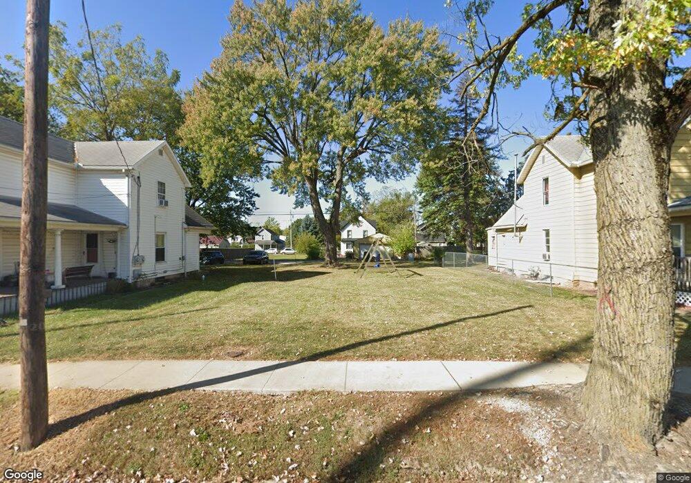
511 Davids St Marion, OH 43302
Estimated Value: $25,000 - $121,000
2
Beds
1
Bath
1,416
Sq Ft
$51/Sq Ft
Est. Value
About This Home
This home is located at 511 Davids St, Marion, OH 43302 and is currently estimated at $72,000, approximately $50 per square foot. 511 Davids St is a home located in Marion County with nearby schools including William McKinley Elementary School, Ulysses S. Grant Middle School, and Harding High School.
Ownership History
Date
Name
Owned For
Owner Type
Purchase Details
Closed on
Feb 19, 2025
Sold by
Mcginniss Dean
Bought by
Mccallen Rayne E and Mccallen Drake
Current Estimated Value
Purchase Details
Closed on
Nov 25, 2019
Sold by
Mcginniss Bradley and Mcginniss Shirley M
Bought by
Mcginniss Dean
Purchase Details
Closed on
Jul 2, 2016
Sold by
Buckeye Ridge Habitat For Humanity Inc
Bought by
Mcginnis Bradley and Mcginnis Dean
Purchase Details
Closed on
May 5, 2016
Sold by
Berridge Jeremy A and Berridge Tirza R
Bought by
Buckeye Ridge Habitat For Humanity Inc
Purchase Details
Closed on
Mar 10, 1999
Bought by
Mcginniss Bradley and Dean Surv
Purchase Details
Closed on
Mar 24, 1998
Bought by
Mcginniss Bradley and Dean Surv
Purchase Details
Closed on
Jan 7, 1994
Bought by
Mcginniss Bradley and Dean Surv
Create a Home Valuation Report for This Property
The Home Valuation Report is an in-depth analysis detailing your home's value as well as a comparison with similar homes in the area
Home Values in the Area
Average Home Value in this Area
Purchase History
| Date | Buyer | Sale Price | Title Company |
|---|---|---|---|
| Mccallen Rayne E | $60,000 | -- | |
| Mccallen Rayne E | $60,000 | -- | |
| Mcginniss Dean | -- | None Available | |
| Mcginnis Bradley | $2,000 | Crossland Title | |
| Buckeye Ridge Habitat For Humanity Inc | -- | None Available | |
| Mcginniss Bradley | $42,000 | -- | |
| Mcginniss Bradley | -- | -- | |
| Mcginniss Bradley | $26,000 | -- |
Source: Public Records
Tax History
| Year | Tax Paid | Tax Assessment Tax Assessment Total Assessment is a certain percentage of the fair market value that is determined by local assessors to be the total taxable value of land and additions on the property. | Land | Improvement |
|---|---|---|---|---|
| 2025 | $120 | $3,150 | $3,150 | -- |
| 2024 | $120 | $3,080 | $3,080 | -- |
| 2023 | $120 | $3,080 | $3,080 | $0 |
| 2022 | $112 | $3,080 | $3,080 | $0 |
| 2021 | $108 | $2,680 | $2,680 | $0 |
| 2020 | $108 | $2,680 | $2,680 | $0 |
| 2019 | $108 | $2,680 | $2,680 | $0 |
| 2018 | $107 | $2,650 | $2,650 | $0 |
| 2017 | $354 | $2,650 | $2,650 | $0 |
| 2016 | $106 | $2,650 | $2,650 | $0 |
| 2015 | $103 | $14,770 | $2,520 | $12,250 |
| 2014 | $588 | $14,770 | $2,520 | $12,250 |
| 2012 | $647 | $16,170 | $1,880 | $14,290 |
Source: Public Records
Map
Nearby Homes
- 579 Henry St
- 602 Uncapher Ave
- 645 Henry St
- 681 Davids St
- 329 Mound St
- 491 Olney Ave
- 447 Olney Ave
- 638 Miami St
- 376 Park Blvd
- 545 Blaine Ave
- 793 Congress St
- 889 Oak Grove Ave
- 426 Bellefontaine Ave
- 347 Blaine Ave
- 863 Congress St
- 447 Windsor St
- 245 Park Blvd
- 213 Sharp St
- 839 Bennett St
- 950 Oak Grove Ave
Your Personal Tour Guide
Ask me questions while you tour the home.