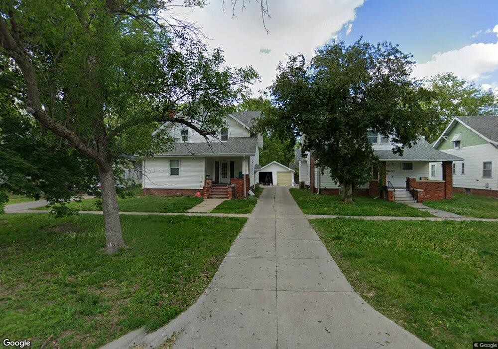
511 E 7th St Hastings, NE 68901
Estimated Value: $187,000 - $224,000
3
Beds
2
Baths
1,869
Sq Ft
$110/Sq Ft
Est. Value
About This Home
This home is located at 511 E 7th St, Hastings, NE 68901 and is currently estimated at $206,447, approximately $110 per square foot. 511 E 7th St is a home located in Adams County with nearby schools including Hastings Senior High School, St. Michael's Preschool & Elementary School, and St. Cecilia High School.
Ownership History
Date
Name
Owned For
Owner Type
Purchase Details
Closed on
Jun 17, 2022
Sold by
Villela Andrea J and Villela Luis
Bought by
Villela Andrea J and Villela Luis
Current Estimated Value
Purchase Details
Closed on
Oct 20, 2020
Sold by
Value Rentals Limited Liability Company
Bought by
Everson Andrea J
Home Financials for this Owner
Home Financials are based on the most recent Mortgage that was taken out on this home.
Original Mortgage
$123,100
Interest Rate
2.8%
Mortgage Type
New Conventional
Create a Home Valuation Report for This Property
The Home Valuation Report is an in-depth analysis detailing your home's value as well as a comparison with similar homes in the area
Home Values in the Area
Average Home Value in this Area
Purchase History
| Date | Buyer | Sale Price | Title Company |
|---|---|---|---|
| Villela Andrea J | -- | None Listed On Document | |
| Everson Andrea J | $137,000 | None Available |
Source: Public Records
Mortgage History
| Date | Status | Borrower | Loan Amount |
|---|---|---|---|
| Previous Owner | Everson Andrea J | $123,100 |
Source: Public Records
Tax History
| Year | Tax Paid | Tax Assessment Tax Assessment Total Assessment is a certain percentage of the fair market value that is determined by local assessors to be the total taxable value of land and additions on the property. | Land | Improvement |
|---|---|---|---|---|
| 2025 | $2,740 | $175,267 | $16,200 | $159,067 |
| 2024 | $2,643 | $165,584 | $16,200 | $149,384 |
| 2023 | $3,251 | $157,572 | $16,200 | $141,372 |
| 2022 | $1,631 | $72,420 | $16,200 | $56,220 |
| 2021 | $1,453 | $66,238 | $13,200 | $53,038 |
| 2020 | $1,374 | $63,712 | $13,200 | $50,512 |
| 2019 | $1,279 | $59,970 | $13,200 | $46,770 |
| 2018 | $1,138 | $53,070 | $6,300 | $46,770 |
| 2017 | $1,099 | $51,270 | $0 | $0 |
| 2016 | $1,100 | $51,270 | $6,300 | $44,970 |
| 2011 | -- | $46,755 | $6,000 | $40,755 |
Source: Public Records
Map
Nearby Homes
Your Personal Tour Guide
Ask me questions while you tour the home.