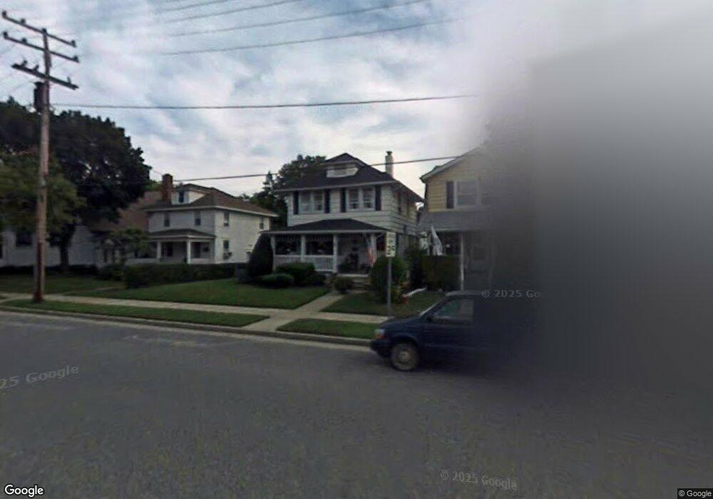
511 Garfield Ave Avon By the Sea, NJ 07717
Avon-by-the-Sea NeighborhoodEstimated Value: $1,141,858 - $1,393,000
3
Beds
2
Baths
1,130
Sq Ft
$1,160/Sq Ft
Est. Value
About This Home
This home is located at 511 Garfield Ave, Avon By the Sea, NJ 07717 and is currently estimated at $1,310,715, approximately $1,159 per square foot. 511 Garfield Ave is a home located in Monmouth County with nearby schools including Avon Elementary School, St. Rose Grammar School, and St Rose High School.
Ownership History
Date
Name
Owned For
Owner Type
Purchase Details
Closed on
Sep 9, 2016
Sold by
Suzanne Mary Jackson
Bought by
Kinsey Allyson and Kinsey Keith
Current Estimated Value
Home Financials for this Owner
Home Financials are based on the most recent Mortgage that was taken out on this home.
Original Mortgage
$470,000
Outstanding Balance
$375,539
Interest Rate
3.44%
Estimated Equity
$935,176
Purchase Details
Closed on
Mar 31, 1997
Sold by
Isherwood Howard
Bought by
Jackson Robert and Jackson Suzanne
Home Financials for this Owner
Home Financials are based on the most recent Mortgage that was taken out on this home.
Original Mortgage
$140,000
Interest Rate
7.76%
Create a Home Valuation Report for This Property
The Home Valuation Report is an in-depth analysis detailing your home's value as well as a comparison with similar homes in the area
Home Values in the Area
Average Home Value in this Area
Purchase History
| Date | Buyer | Sale Price | Title Company |
|---|---|---|---|
| Kinsey Allyson | -- | -- | |
| Jackson Robert | $240,000 | -- |
Source: Public Records
Mortgage History
| Date | Status | Borrower | Loan Amount |
|---|---|---|---|
| Open | Kinsey Allyson | $470,000 | |
| Closed | Kinsey Allyson | -- | |
| Previous Owner | Jackson Robert | $140,000 |
Source: Public Records
Tax History Compared to Growth
Tax History
| Year | Tax Paid | Tax Assessment Tax Assessment Total Assessment is a certain percentage of the fair market value that is determined by local assessors to be the total taxable value of land and additions on the property. | Land | Improvement |
|---|---|---|---|---|
| 2025 | $8,722 | $1,003,700 | $497,000 | $506,700 |
| 2024 | $6,838 | $1,003,700 | $497,000 | $506,700 |
| 2023 | $6,838 | $801,600 | $497,000 | $304,600 |
| 2022 | $8,685 | $801,600 | $497,000 | $304,600 |
| 2021 | $8,685 | $709,000 | $553,700 | $155,300 |
| 2020 | $8,508 | $709,000 | $553,700 | $155,300 |
| 2019 | $8,260 | $709,000 | $553,700 | $155,300 |
| 2018 | $8,139 | $709,000 | $553,700 | $155,300 |
| 2017 | $8,061 | $709,000 | $553,700 | $155,300 |
| 2016 | $8,097 | $709,000 | $553,700 | $155,300 |
| 2015 | $7,927 | $714,800 | $563,500 | $151,300 |
| 2014 | $7,642 | $714,900 | $514,500 | $200,400 |
Source: Public Records
Map
Nearby Homes
- 319 Main St
- 501 Main St Unit 36
- 501 Main St Unit 30
- 1 Railroad Ave Unit C2
- 1 Railroad Ave Unit B5
- 1 Railroad Ave Unit B4
- 1 Railroad Ave Unit B2
- 1 Railroad Ave Unit C1
- 1 Railroad Ave Unit B6
- 1 Railroad Ave Unit B3
- 1 Railroad Ave Unit C3
- 1 Railroad Ave Unit B7
- 1 Railroad Ave Unit B1
- 801 Main St Unit A4
- 801 Main St Unit A5
- 801 Main St Unit A3
- 801 Main St Unit A2
- 801 Main St Unit A1
- 56 Steiner Ave
- 135 Lakeside Ave
- 513 Garfield Ave
- 318 Marine Place
- 515 Garfield Ave
- 507 Garfield Ave
- 509 Garfield Ave
- 305 5th Ave
- 318 Main St Unit upstairs front
- 318 Main St Unit rear/upstairs
- 318 Main St
- 510 Lincoln Ave
- 515 Garfield Ln Unit LANE
- 515 Garfield Ln Unit rear
- 504 Lincoln Ave
- 512 Lincoln Ave
- 316 Main St
- 314 Main St
- 320 Main St
- 310 Main St Unit upper
- 500 Lincoln Ave
- 510 Garfield Ave