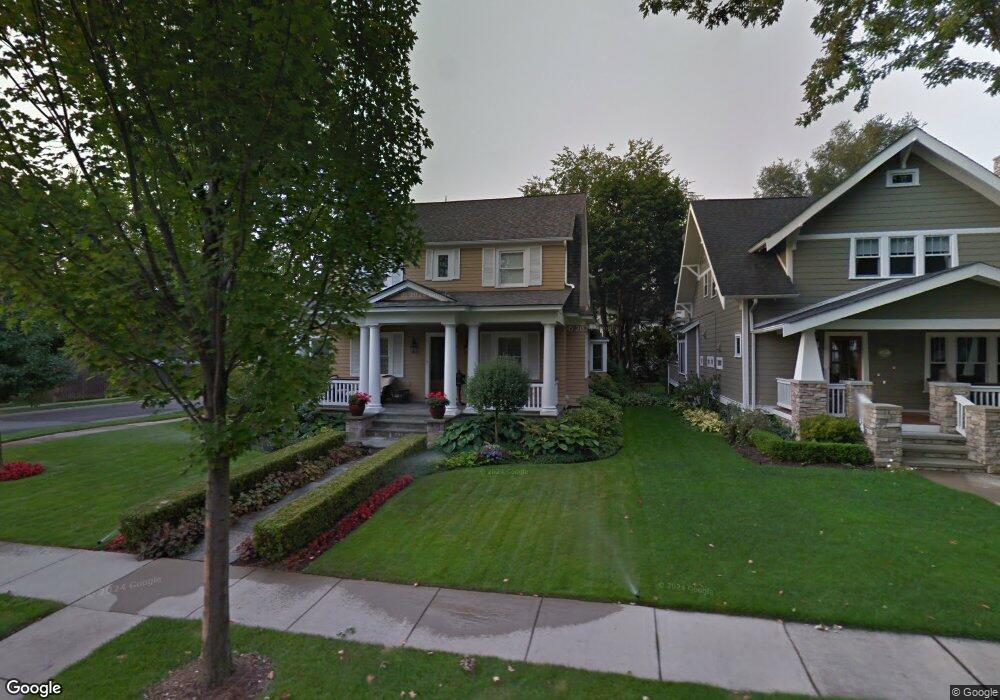
511 Hanna St Unit Bldg-Unit Birmingham, MI 48009
Estimated Value: $1,042,039 - $1,582,000
3
Beds
3
Baths
2,931
Sq Ft
$474/Sq Ft
Est. Value
About This Home
This home is located at 511 Hanna St Unit Bldg-Unit, Birmingham, MI 48009 and is currently estimated at $1,389,510, approximately $474 per square foot. 511 Hanna St Unit Bldg-Unit is a home located in Oakland County with nearby schools including Pierce Elementary School, Derby Middle School, and Ernest W. Seaholm High School.
Ownership History
Date
Name
Owned For
Owner Type
Purchase Details
Closed on
Nov 3, 2021
Sold by
Nichols Carolyn M
Bought by
Carolyn M Nichols Revocable Trust
Current Estimated Value
Purchase Details
Closed on
Oct 10, 2018
Sold by
Owen Kipp D and Locket Graham S
Bought by
Nichols Carolyn M
Purchase Details
Closed on
Oct 1, 2004
Sold by
Myers John D
Bought by
Owen Kipp D and Lockett Graham S
Home Financials for this Owner
Home Financials are based on the most recent Mortgage that was taken out on this home.
Original Mortgage
$375,000
Interest Rate
5.89%
Mortgage Type
Unknown
Create a Home Valuation Report for This Property
The Home Valuation Report is an in-depth analysis detailing your home's value as well as a comparison with similar homes in the area
Home Values in the Area
Average Home Value in this Area
Purchase History
| Date | Buyer | Sale Price | Title Company |
|---|---|---|---|
| Carolyn M Nichols Revocable Trust | -- | None Listed On Document | |
| Nichols Carolyn M | $923,500 | Title One Inc | |
| Owen Kipp D | $850,000 | Metropolitan Title Company |
Source: Public Records
Mortgage History
| Date | Status | Borrower | Loan Amount |
|---|---|---|---|
| Previous Owner | Owen Kipp D | $375,000 | |
| Previous Owner | Owen Kipp D | $110,000 |
Source: Public Records
Tax History Compared to Growth
Tax History
| Year | Tax Paid | Tax Assessment Tax Assessment Total Assessment is a certain percentage of the fair market value that is determined by local assessors to be the total taxable value of land and additions on the property. | Land | Improvement |
|---|---|---|---|---|
| 2024 | $14,301 | $432,420 | $0 | $0 |
| 2023 | $13,704 | $406,220 | $0 | $0 |
| 2022 | $14,693 | $413,290 | $0 | $0 |
| 2021 | $14,823 | $385,960 | $0 | $0 |
| 2020 | $13,207 | $369,190 | $0 | $0 |
| 2019 | $14,946 | $356,820 | $0 | $0 |
| 2018 | $9,132 | $333,800 | $0 | $0 |
| 2017 | $9,116 | $329,640 | $0 | $0 |
| 2016 | $9,133 | $313,010 | $0 | $0 |
| 2015 | -- | $300,320 | $0 | $0 |
| 2014 | -- | $255,860 | $0 | $0 |
| 2011 | -- | $191,300 | $0 | $0 |
Source: Public Records
Map
Nearby Homes
- 788 S Bates St
- 655 Chester St
- 608 Stanley Blvd
- 751 S Bates St
- 572 Stanley Blvd
- 532 Wallace St
- 875 S Bates St
- 611 Watkins St
- 650 Hanna St
- 407 W Brown St
- 955 S Bates St
- 591 Wallace St
- 444 Chester St Unit 425
- 583 Southfield Rd
- 730 Wallace St
- 480 Southfield Rd
- 1205 S Bates St
- 662 Purdy St Unit 105
- 776 W Lincoln St
- 255 Southfield Rd Unit 1