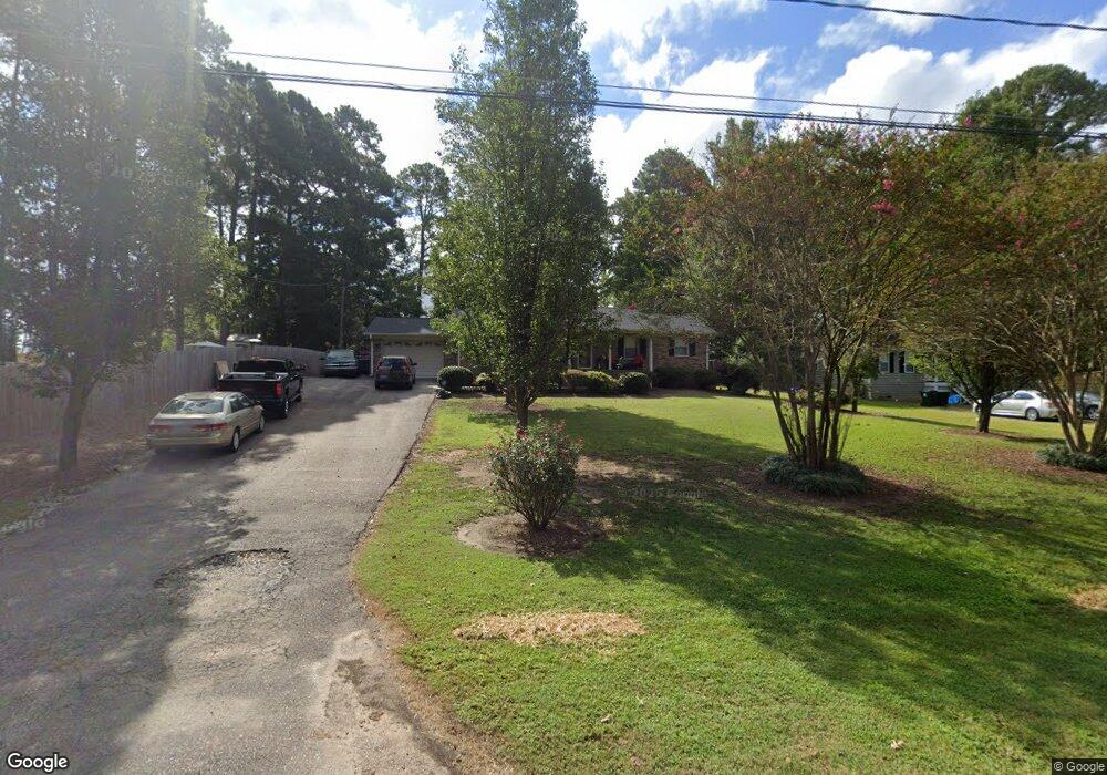
511 Keith St Durham, NC 27703
Eastern Durham NeighborhoodEstimated Value: $306,956 - $404,000
3
Beds
2
Baths
1,456
Sq Ft
$236/Sq Ft
Est. Value
About This Home
This home is located at 511 Keith St, Durham, NC 27703 and is currently estimated at $344,239, approximately $236 per square foot. 511 Keith St is a home located in Durham County with nearby schools including Oak Grove Elementary, John W Neal Middle School, and Southern School of Energy & Sustainability.
Ownership History
Date
Name
Owned For
Owner Type
Purchase Details
Closed on
Mar 4, 1998
Sold by
Cook Eunice M
Bought by
Wadford Donald Wayne and Wadford Teresa G
Current Estimated Value
Home Financials for this Owner
Home Financials are based on the most recent Mortgage that was taken out on this home.
Original Mortgage
$94,900
Outstanding Balance
$17,254
Interest Rate
6.95%
Mortgage Type
FHA
Estimated Equity
$326,985
Create a Home Valuation Report for This Property
The Home Valuation Report is an in-depth analysis detailing your home's value as well as a comparison with similar homes in the area
Home Values in the Area
Average Home Value in this Area
Purchase History
| Date | Buyer | Sale Price | Title Company |
|---|---|---|---|
| Wadford Donald Wayne | $95,000 | -- |
Source: Public Records
Mortgage History
| Date | Status | Borrower | Loan Amount |
|---|---|---|---|
| Open | Wadford Donald Wayne | $94,900 |
Source: Public Records
Tax History
| Year | Tax Paid | Tax Assessment Tax Assessment Total Assessment is a certain percentage of the fair market value that is determined by local assessors to be the total taxable value of land and additions on the property. | Land | Improvement |
|---|---|---|---|---|
| 2025 | $2,180 | $298,725 | $105,850 | $192,875 |
| 2024 | $1,750 | $161,526 | $36,575 | $124,951 |
| 2023 | $1,683 | $161,526 | $36,575 | $124,951 |
| 2022 | $1,630 | $161,526 | $36,575 | $124,951 |
| 2021 | $1,417 | $161,526 | $36,575 | $124,951 |
| 2020 | $1,384 | $161,526 | $36,575 | $124,951 |
| 2019 | $1,368 | $161,526 | $36,575 | $124,951 |
| 2018 | $1,296 | $140,369 | $25,602 | $114,767 |
| 2017 | $1,254 | $140,369 | $25,602 | $114,767 |
| 2016 | $1,215 | $140,369 | $25,602 | $114,767 |
| 2015 | $1,445 | $141,533 | $25,216 | $116,317 |
| 2014 | $1,453 | $141,533 | $25,216 | $116,317 |
Source: Public Records
Map
Nearby Homes
- 517 Keith St
- 17 Plumleaf Ln
- 528 Plumleaf Ln
- 13 Blackthorn Ln
- 1112 Blackthorn Ln
- 807 Outlaw Ave
- 1114 Blackthorn Ln
- 442 Gus Rd
- 601 Crossing Dr
- 819 Ember Dr
- 2208 Gilman St
- 108 Putters Ct
- 621 Wellwater Ave
- 428 Holly Blossom Dr
- 2800-2809 Napoli Dr
- 615 Southshore Pkwy
- 208 Lick Creek Ln
- 6 Spicewood Ct
- 1204 Constellation Cir
- 1202 Constellation Cir
Your Personal Tour Guide
Ask me questions while you tour the home.