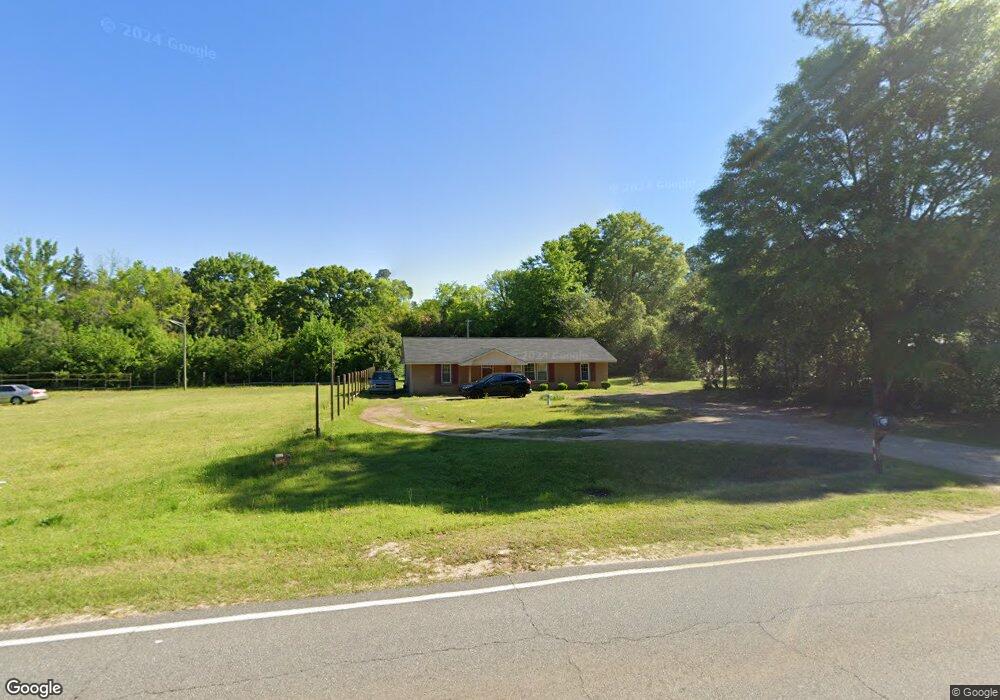
511 Moultrie Rd Albany, GA 31705
Dixie Heights NeighborhoodEstimated Value: $57,000 - $75,000
3
Beds
1
Bath
1,323
Sq Ft
$51/Sq Ft
Est. Value
About This Home
This home is located at 511 Moultrie Rd, Albany, GA 31705 and is currently estimated at $66,915, approximately $50 per square foot. 511 Moultrie Rd is a home located in Dougherty County with nearby schools including Morningside Elementary School, Southside Middle School, and Monroe High School.
Ownership History
Date
Name
Owned For
Owner Type
Purchase Details
Closed on
May 26, 1998
Sold by
M L Properties Inc
Bought by
Hogan Ronnie and Hogan Rosa
Current Estimated Value
Purchase Details
Closed on
Feb 6, 1996
Sold by
First State Bank & Trust Co
Bought by
M L Properties Inc
Purchase Details
Closed on
Oct 31, 1995
Sold by
Wooden Grover By Atty/Fact
Bought by
First State Bank & Trust Co
Purchase Details
Closed on
Jul 30, 1988
Sold by
Mr Real Estate Inc
Bought by
Wooden Grover
Create a Home Valuation Report for This Property
The Home Valuation Report is an in-depth analysis detailing your home's value as well as a comparison with similar homes in the area
Home Values in the Area
Average Home Value in this Area
Purchase History
| Date | Buyer | Sale Price | Title Company |
|---|---|---|---|
| Hogan Ronnie | $27,500 | -- | |
| M L Properties Inc | $24,300 | -- | |
| First State Bank & Trust Co | $21,300 | -- | |
| Wooden Grover | -- | -- |
Source: Public Records
Tax History Compared to Growth
Tax History
| Year | Tax Paid | Tax Assessment Tax Assessment Total Assessment is a certain percentage of the fair market value that is determined by local assessors to be the total taxable value of land and additions on the property. | Land | Improvement |
|---|---|---|---|---|
| 2024 | $531 | $17,400 | $1,920 | $15,480 |
| 2023 | $0 | $17,400 | $1,920 | $15,480 |
| 2022 | $720 | $17,400 | $1,920 | $15,480 |
| 2021 | $668 | $17,400 | $1,920 | $15,480 |
| 2020 | $669 | $17,400 | $1,920 | $15,480 |
| 2019 | $672 | $17,400 | $1,920 | $15,480 |
| 2018 | $675 | $17,400 | $1,920 | $15,480 |
| 2017 | $628 | $17,400 | $1,920 | $15,480 |
| 2016 | $629 | $17,400 | $1,920 | $15,480 |
| 2015 | $631 | $17,400 | $1,920 | $15,480 |
| 2014 | $623 | $17,400 | $1,920 | $15,480 |
Source: Public Records
Map
Nearby Homes
- 939 Crawford Dr
- 1013 Crawford Dr
- 111 Morningside Dr
- 113 Morningside Dr
- 1102 Van Deman St
- 916 Crawford Dr
- 925 Mercedes St
- 911 Mercedes St
- 502 Mitchell Ave
- 1304 Mobile Ave
- 403 Farkas Ln
- 211 Cannon Ave
- 811 S Maple St
- 1401 E Waddell Ave
- 2220 S Jackson St
- 1400 E Lincoln Ave
- 1411 E Gordon Ave
- 608 Cason St
- 1408 E Mercer Ave
- 2601 S Jackson St
- 513 Moultrie Rd
- 1209 Creamer St
- 964 South St
- 1207 Creamer St
- 1205 Creamer St
- 960 South St
- 601 Moultrie Rd
- 510 Moultrie Rd
- 508 Moultrie Rd
- 512 Moultrie Rd
- 504 Moultrie Rd
- 1204 Creamer St
- 600 Moultrie Rd
- 603 Moultrie Rd
- 963 South St
- 1202 Creamer St
- 500 Moultrie Rd
- 1012 Wingate Ave
- 1012 1/2 Wingate Ave
- 604 Moultrie Rd