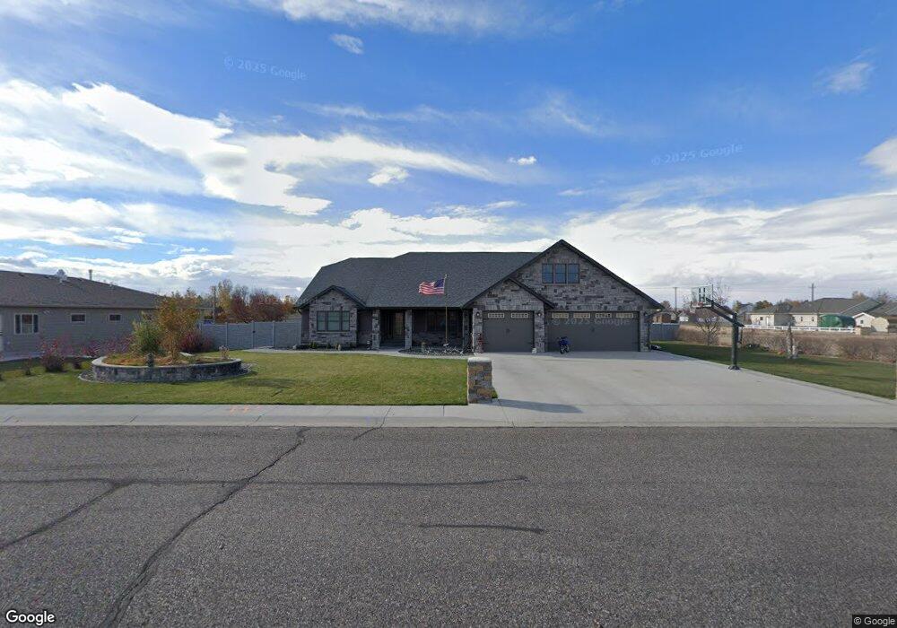
511 N 34th St Worland, WY 82401
Estimated Value: $562,000 - $607,000
4
Beds
3
Baths
3,694
Sq Ft
$157/Sq Ft
Est. Value
About This Home
This home is located at 511 N 34th St, Worland, WY 82401 and is currently estimated at $578,228, approximately $156 per square foot. 511 N 34th St is a home located in Washakie County with nearby schools including East Side Elementary School, South Side Elementary School, and West Side Elementary School.
Ownership History
Date
Name
Owned For
Owner Type
Purchase Details
Closed on
Aug 15, 2024
Sold by
Duna Keith J and Feeney Mary H
Bought by
Cockrell Devon
Current Estimated Value
Home Financials for this Owner
Home Financials are based on the most recent Mortgage that was taken out on this home.
Original Mortgage
$380,000
Outstanding Balance
$375,765
Interest Rate
6.95%
Mortgage Type
New Conventional
Estimated Equity
$202,463
Purchase Details
Closed on
Jul 30, 2021
Sold by
Jeffries L Carl L and Jeffries Kamme L
Bought by
Dunn Keith J and Dunn Mary H
Purchase Details
Closed on
Jul 2, 2008
Sold by
The Development Company Llc
Bought by
Jeffries L Carl and Jeffries Kamme L
Create a Home Valuation Report for This Property
The Home Valuation Report is an in-depth analysis detailing your home's value as well as a comparison with similar homes in the area
Home Values in the Area
Average Home Value in this Area
Purchase History
| Date | Buyer | Sale Price | Title Company |
|---|---|---|---|
| Cockrell Devon | -- | None Listed On Document | |
| Dunn Keith J | -- | None Available | |
| Jeffries L Carl | -- | None Available |
Source: Public Records
Mortgage History
| Date | Status | Borrower | Loan Amount |
|---|---|---|---|
| Open | Cockrell Devon | $380,000 |
Source: Public Records
Tax History Compared to Growth
Tax History
| Year | Tax Paid | Tax Assessment Tax Assessment Total Assessment is a certain percentage of the fair market value that is determined by local assessors to be the total taxable value of land and additions on the property. | Land | Improvement |
|---|---|---|---|---|
| 2025 | $2,528 | $33,202 | $3,189 | $30,013 |
| 2024 | $3,261 | $42,824 | $4,345 | $38,479 |
| 2023 | $3,096 | $40,651 | $3,652 | $36,999 |
| 2022 | $2,543 | $33,401 | $3,652 | $29,749 |
| 2021 | $2,801 | $36,779 | $3,470 | $33,309 |
| 2020 | $2,525 | $33,163 | $3,470 | $29,693 |
| 2019 | $3,120 | $40,967 | $3,470 | $37,497 |
| 2018 | $2,841 | $37,306 | $3,470 | $33,836 |
| 2017 | $3,167 | $41,591 | $3,470 | $38,121 |
| 2016 | $3,231 | $42,424 | $4,530 | $37,894 |
| 2015 | -- | $36,673 | $4,530 | $32,143 |
| 2014 | -- | $39,496 | $4,196 | $35,300 |
Source: Public Records
Map
Nearby Homes
- 522 N Road 11
- 602 N Road 11
- 731 N 34th St
- 2916 Columbine Ln
- 107 Country Dr
- 0 U S 16
- 3017 Canyon Ridge Way
- 3017 Canyon Ridge Way
- 225 S 22nd St
- 2007 Harkins Ave
- TBD S 23rd St
- 1542 Cloud Peak Dr
- 1701 Coburn Ave
- 1157 Lane 12
- 408 S 16th St
- 1301 Pulliam Ave
- 2020 Sage Ln
- 1221 Pulliam Ave
- 2000 Sage Loop
- 1300 Coburn Ave
- 511 34th St
- 531 34th St
- 532 N Road 11
- TBD E 16 Hwy E
- 601 34th St
- 602 N Other Unit Road 11
- 602 N Other Unit Road 11
- 416 Blue Bell Ln
- TBD Paintbrush Ln
- 408 Blue Bell Ln
- 603 N Road 11
- 611 34th St
- 626 Sagebrush Dr
- 622 Sagebrush Dr
- 618 Sagebrush Dr
- 3110 Paintbrush Ln
- 612 N Road 11
- 400 Blue Bell Ln
- 609 N Road 11
- 2917 Yellowstone Ave Unit North Road 11