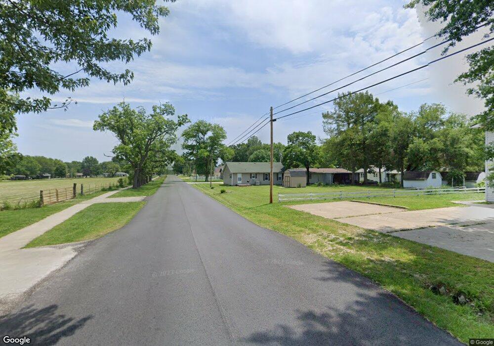
511 N Flint Ave Bolivar, MO 65613
Estimated Value: $142,000 - $154,000
3
Beds
2
Baths
1,538
Sq Ft
$95/Sq Ft
Est. Value
About This Home
This home is located at 511 N Flint Ave, Bolivar, MO 65613 and is currently estimated at $146,505, approximately $95 per square foot. 511 N Flint Ave is a home located in Polk County with nearby schools including Bolivar Primary School, Bolivar Intermediate School, and Bolivar Middle School.
Ownership History
Date
Name
Owned For
Owner Type
Purchase Details
Closed on
Sep 4, 2019
Sold by
Samantha Johnson
Bought by
Pippen Myra L
Current Estimated Value
Home Financials for this Owner
Home Financials are based on the most recent Mortgage that was taken out on this home.
Original Mortgage
$50,000
Outstanding Balance
$38,654
Interest Rate
3.7%
Mortgage Type
Construction
Estimated Equity
$107,851
Purchase Details
Closed on
Dec 23, 2016
Sold by
Daniel Durst and Daniel Aleisha
Bought by
Johnson Samantha
Home Financials for this Owner
Home Financials are based on the most recent Mortgage that was taken out on this home.
Original Mortgage
$72,222
Interest Rate
3.57%
Mortgage Type
New Conventional
Create a Home Valuation Report for This Property
The Home Valuation Report is an in-depth analysis detailing your home's value as well as a comparison with similar homes in the area
Home Values in the Area
Average Home Value in this Area
Purchase History
| Date | Buyer | Sale Price | Title Company |
|---|---|---|---|
| Pippen Myra L | $62,500 | -- | |
| Johnson Samantha | $90,277 | -- |
Source: Public Records
Mortgage History
| Date | Status | Borrower | Loan Amount |
|---|---|---|---|
| Open | Pippen Myra L | $50,000 | |
| Previous Owner | Johnson Samantha | $72,222 |
Source: Public Records
Tax History Compared to Growth
Tax History
| Year | Tax Paid | Tax Assessment Tax Assessment Total Assessment is a certain percentage of the fair market value that is determined by local assessors to be the total taxable value of land and additions on the property. | Land | Improvement |
|---|---|---|---|---|
| 2024 | $5 | $9,240 | $0 | $0 |
| 2023 | $467 | $9,240 | $0 | $0 |
| 2022 | $444 | $9,230 | $0 | $0 |
| 2021 | $442 | $9,230 | $0 | $0 |
| 2020 | $417 | $8,660 | $0 | $0 |
| 2019 | $152 | $3,150 | $0 | $0 |
| 2018 | $145 | $2,980 | $0 | $0 |
| 2017 | $145 | $2,980 | $0 | $0 |
| 2016 | $145 | $2,980 | $0 | $0 |
| 2015 | -- | $2,980 | $0 | $0 |
| 2014 | -- | $2,980 | $0 | $0 |
Source: Public Records
Map
Nearby Homes
- 1018 E Locust St
- 305 N Flint Ave
- 000 E Lindon St
- 461 Winfred Ave
- 660 E Vivian St
- 720 E Vivian St
- 504 N Albany Ave
- 600 E Chestnut St
- 0000 E Destin St Unit Lots 57-60
- 780 E Destin Ln
- 000 S Idlewood Way
- 760 E Parkview St
- 380 S Hartford Ave
- 0000 S Idlewood St Unit Lot 11
- 514 N Wilson Ave
- 000 E Walnut St
- 327 E Chestnut St
- 000 & 3801 Highway D
- 1025 N Market Ave
- 540 S Flint
- 511 N Flint Ave
- 501 N Flint Ave
- 423 N Flint Ave
- 510 N Flint Ave
- 1006 E Division St
- 421 N Flint Ave
- 430 N Flint Ave
- 1106 E Division St
- 432 N Elgin Ave
- 424 N Flint Ave
- 417 N Flint Ave
- 422 N Elgin Ave
- 413 N Flint Ave
- 1124 E Division St
- 1005 E Division St
- 425 N Elgin Ave
- 427 N Gary Ave
- 412 N Elgin Ave
- 421 N Gary Ave
- 419 N Elgin Ave