511 N Franklin St Robinson, IL 62454
Estimated Value: $86,761 - $124,000
2
Beds
1
Bath
2,016
Sq Ft
$50/Sq Ft
Est. Value
About This Home
This home is located at 511 N Franklin St, Robinson, IL 62454 and is currently estimated at $101,690, approximately $50 per square foot. 511 N Franklin St is a home located in Crawford County with nearby schools including Washington Elementary School, Lincoln Elementary School, and Nuttall Middle School.
Ownership History
Date
Name
Owned For
Owner Type
Purchase Details
Closed on
May 19, 2020
Sold by
Iiams Derek J and Iiams Chelcie D
Bought by
Iltzsch Timothy L and Iltzsch Deborah S
Current Estimated Value
Home Financials for this Owner
Home Financials are based on the most recent Mortgage that was taken out on this home.
Original Mortgage
$30,000
Outstanding Balance
$26,683
Interest Rate
3.5%
Mortgage Type
New Conventional
Estimated Equity
$75,007
Purchase Details
Closed on
Aug 27, 2015
Sold by
Hopkins Anne M
Bought by
Iams Derek Jason and Iams Chelcie Dail
Home Financials for this Owner
Home Financials are based on the most recent Mortgage that was taken out on this home.
Original Mortgage
$55,100
Interest Rate
4.12%
Mortgage Type
New Conventional
Purchase Details
Closed on
Sep 4, 2013
Bought by
Hopkins Anne Marie
Create a Home Valuation Report for This Property
The Home Valuation Report is an in-depth analysis detailing your home's value as well as a comparison with similar homes in the area
Home Values in the Area
Average Home Value in this Area
Purchase History
| Date | Buyer | Sale Price | Title Company |
|---|---|---|---|
| Iltzsch Timothy L | $55,000 | Attorney Only | |
| Iams Derek Jason | $58,000 | Attorney Only | |
| Hopkins Anne Marie | $35,000 | -- |
Source: Public Records
Mortgage History
| Date | Status | Borrower | Loan Amount |
|---|---|---|---|
| Open | Iltzsch Timothy L | $30,000 | |
| Previous Owner | Iams Derek Jason | $55,100 |
Source: Public Records
Tax History Compared to Growth
Tax History
| Year | Tax Paid | Tax Assessment Tax Assessment Total Assessment is a certain percentage of the fair market value that is determined by local assessors to be the total taxable value of land and additions on the property. | Land | Improvement |
|---|---|---|---|---|
| 2024 | $783 | $27,562 | $4,665 | $22,897 |
| 2023 | $612 | $24,279 | $4,109 | $20,170 |
| 2022 | $553 | $23,070 | $3,904 | $19,166 |
| 2021 | $501 | $22,200 | $3,757 | $18,443 |
| 2020 | $862 | $17,836 | $3,757 | $14,079 |
| 2019 | $855 | $17,836 | $3,757 | $14,079 |
| 2018 | $784 | $16,798 | $3,538 | $13,260 |
| 2013 | -- | $15,039 | $3,167 | $11,872 |
Source: Public Records
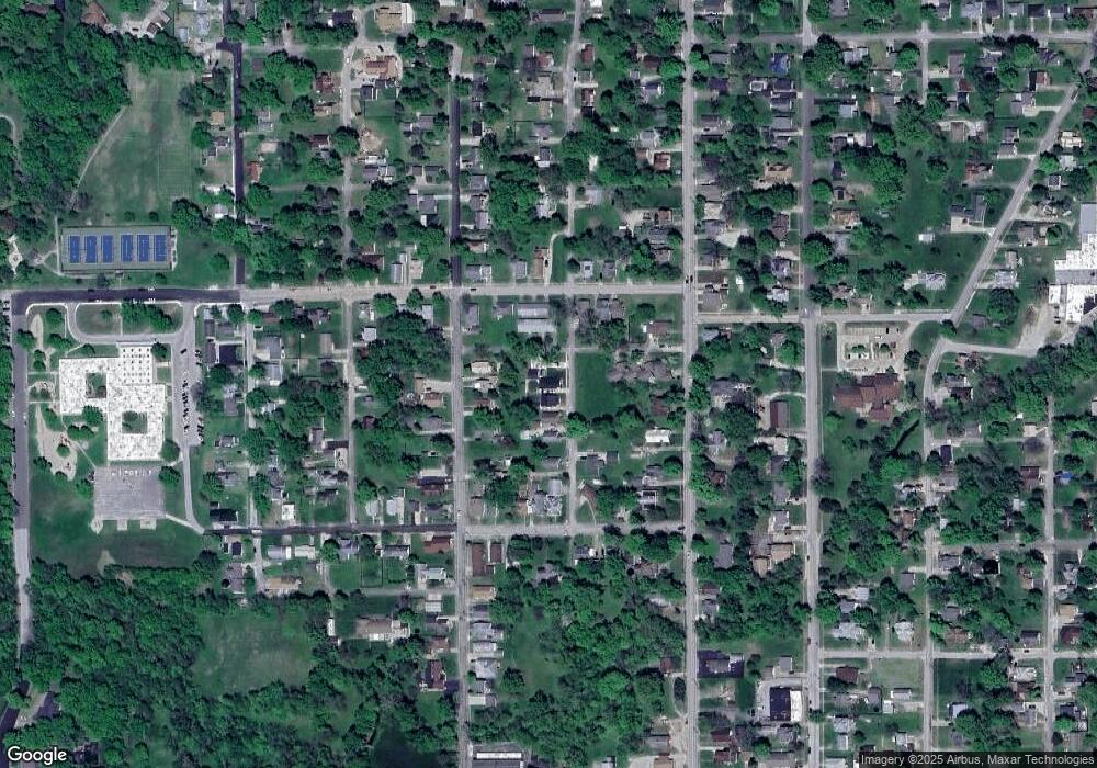
Map
Nearby Homes
- 509 N Howard St
- 501 N Howard St
- 814 N Robb St
- 902 N Robb St
- 310 N Jefferson St
- 809 N Lincoln St
- 813 N Rector Ave
- 1202 N Argus St
- 604 W Main St
- 708 W Main St
- 702 N Allen St
- 1402 N Howard St
- 1114 N Rector Ave
- 307 S Howard St
- 904 W Locust Ln
- 701 W Walnut St
- 403 E Walnut St
- 609 N Allen St
- 411 E Walnut St
- 405 S Cross St
- 509 N Franklin St
- 507 N Franklin St
- 516 N Howard St
- 514 N Howard St
- 512 N Howard St
- 505 N Franklin St
- 207 W Condit St
- 107 W Condit St
- 105 W Condit St
- 503 N Franklin St
- 510 N Howard St
- 209 W Condit St
- 103 W Condit St
- 504 N Franklin St
- 506 N Howard St
- 210 W Condit St
- 204 W Condit St
- 106 W Condit St
- 511 N Howard St
- 206 W Condit St