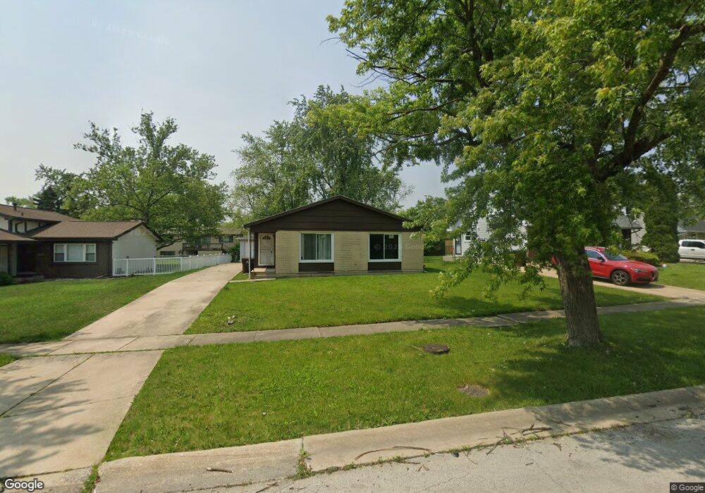
511 Nathan Rd Unit 1 University Park, IL 60484
Estimated Value: $129,000 - $199,000
3
Beds
2
Baths
1,212
Sq Ft
$143/Sq Ft
Est. Value
About This Home
This home is located at 511 Nathan Rd Unit 1, University Park, IL 60484 and is currently estimated at $173,667, approximately $143 per square foot. 511 Nathan Rd Unit 1 is a home located in Will County with nearby schools including Balmoral Elementary School, Crete-Monee Middle School, and Crete-Monee High School.
Ownership History
Date
Name
Owned For
Owner Type
Purchase Details
Closed on
Sep 13, 2001
Sold by
Larson Robert
Bought by
Taylor Stephanie P
Current Estimated Value
Home Financials for this Owner
Home Financials are based on the most recent Mortgage that was taken out on this home.
Original Mortgage
$39,000
Interest Rate
6.97%
Purchase Details
Closed on
Jan 8, 2001
Sold by
The Chase Manhattan Bank
Bought by
Larson Robert
Purchase Details
Closed on
Sep 29, 2000
Sold by
Douglas Delores J and Case #99 Ch 1367
Bought by
Imc Adjustable Rate Home Equity Loan Ass
Purchase Details
Closed on
Aug 24, 2000
Sold by
Douglas Delores J
Bought by
The Chase Manhattan Bank and Imc Adjustable Rate Home Equity Loan Ass
Create a Home Valuation Report for This Property
The Home Valuation Report is an in-depth analysis detailing your home's value as well as a comparison with similar homes in the area
Home Values in the Area
Average Home Value in this Area
Purchase History
| Date | Buyer | Sale Price | Title Company |
|---|---|---|---|
| Taylor Stephanie P | $52,000 | Ticor Title | |
| Larson Robert | $41,500 | -- | |
| Imc Adjustable Rate Home Equity Loan Ass | -- | -- | |
| The Chase Manhattan Bank | -- | -- |
Source: Public Records
Mortgage History
| Date | Status | Borrower | Loan Amount |
|---|---|---|---|
| Closed | Taylor Stephanie P | $39,000 |
Source: Public Records
Tax History Compared to Growth
Tax History
| Year | Tax Paid | Tax Assessment Tax Assessment Total Assessment is a certain percentage of the fair market value that is determined by local assessors to be the total taxable value of land and additions on the property. | Land | Improvement |
|---|---|---|---|---|
| 2024 | $5,680 | $45,251 | $8,402 | $36,849 |
| 2023 | $5,680 | $39,009 | $7,243 | $31,766 |
| 2022 | $5,384 | $34,314 | $6,371 | $27,943 |
| 2021 | $4,610 | $31,262 | $5,852 | $25,410 |
| 2020 | $4,640 | $30,248 | $5,662 | $24,586 |
| 2019 | $4,651 | $28,684 | $5,369 | $23,315 |
| 2018 | $4,567 | $27,602 | $5,255 | $22,347 |
| 2017 | $4,469 | $26,417 | $5,138 | $21,279 |
| 2016 | $4,240 | $25,022 | $4,941 | $20,081 |
| 2015 | $3,644 | $22,853 | $4,503 | $18,350 |
| 2014 | $3,644 | $22,538 | $4,441 | $18,097 |
| 2013 | $3,644 | $23,600 | $4,650 | $18,950 |
Source: Public Records
Map
Nearby Homes
- 1039 Abbot Ln
- 1032 Samson Dr
- 1029 Samson Dr
- 537 Nathan Rd
- 1109 Abbot Ln
- 543 Regent Rd
- 1039 Barrow Ct
- 1031 Blackhawk Dr
- 740 Mission St
- 607 Sullivan Ln
- 903 Blackhawk Dr
- 613 Farmview Rd
- 608 Sullivan Ln
- 1244 Harvest Ln
- 815 Blackhawk Dr
- 807 Blackhawk Dr
- 655 Sullivan Ln
- 662 Sullivan Ln
- 735 Union Dr
- 610 Sandra Dr