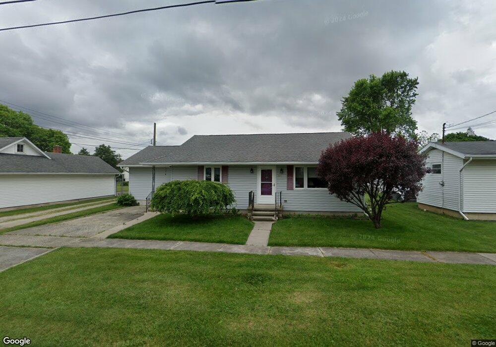
511 North St Woodville, OH 43469
Estimated Value: $139,000 - $170,000
2
Beds
1
Bath
1,364
Sq Ft
$118/Sq Ft
Est. Value
About This Home
This home is located at 511 North St, Woodville, OH 43469 and is currently estimated at $160,351, approximately $117 per square foot. 511 North St is a home located in Sandusky County with nearby schools including Woodmore Elementary School, Woodmore Middle School, and Solomon Lutheran School.
Ownership History
Date
Name
Owned For
Owner Type
Purchase Details
Closed on
Oct 11, 2024
Sold by
Runion Connie S and Shue Vickie Marie
Bought by
Shue Larry N and Shue Vickie Marie
Current Estimated Value
Purchase Details
Closed on
May 24, 2018
Sold by
Bowen Ted
Bought by
Bowen Ted
Purchase Details
Closed on
May 11, 2006
Sold by
Truman Lori A and Truman Lori Ann
Bought by
Runion Paul L and Runion Connie S
Purchase Details
Closed on
Sep 2, 1998
Sold by
Neely Richard
Bought by
Truman Lori A
Create a Home Valuation Report for This Property
The Home Valuation Report is an in-depth analysis detailing your home's value as well as a comparison with similar homes in the area
Home Values in the Area
Average Home Value in this Area
Purchase History
| Date | Buyer | Sale Price | Title Company |
|---|---|---|---|
| Shue Larry N | $120,000 | None Listed On Document | |
| Bowen Ted | -- | -- | |
| Runion Paul L | $42,000 | None Available | |
| Truman Lori A | $66,500 | -- |
Source: Public Records
Tax History Compared to Growth
Tax History
| Year | Tax Paid | Tax Assessment Tax Assessment Total Assessment is a certain percentage of the fair market value that is determined by local assessors to be the total taxable value of land and additions on the property. | Land | Improvement |
|---|---|---|---|---|
| 2024 | $2,033 | $50,230 | $10,220 | $40,010 |
| 2023 | $2,033 | $36,650 | $7,460 | $29,190 |
| 2022 | $1,626 | $36,650 | $7,460 | $29,190 |
| 2021 | $1,634 | $36,650 | $7,460 | $29,190 |
| 2020 | $1,414 | $31,820 | $7,460 | $24,360 |
| 2019 | $1,415 | $31,820 | $7,460 | $24,360 |
| 2018 | $1,488 | $31,820 | $7,460 | $24,360 |
| 2017 | $1,456 | $31,820 | $7,460 | $24,360 |
| 2016 | $1,412 | $31,820 | $7,460 | $24,360 |
| 2015 | $1,413 | $31,820 | $7,460 | $24,360 |
| 2014 | $1,586 | $33,430 | $7,040 | $26,390 |
| 2013 | $1,570 | $33,430 | $7,040 | $26,390 |
Source: Public Records
Map
Nearby Homes
- 219 Lime St
- 612 W Main St
- 212 S Perry St
- 110 E 1st St
- 739 Riverside Dr
- 415 Fort Findlay Rd
- 421 Parklane Dr
- 571 Parklane Dr
- 712 Lueke Ave Unit 572 p
- 20240 W Portage River South Rd
- 20180 Us Highway 23
- 0 Recker Rd
- 2067 Devils Hole Rd
- 19383 Courtland Ave
- 1936 County Road 32
- 510 Wilson St
- 514 West St
- 416 Castle Cove
- 0 W Portage River Rd S Unit 6130453
- 904 Main St