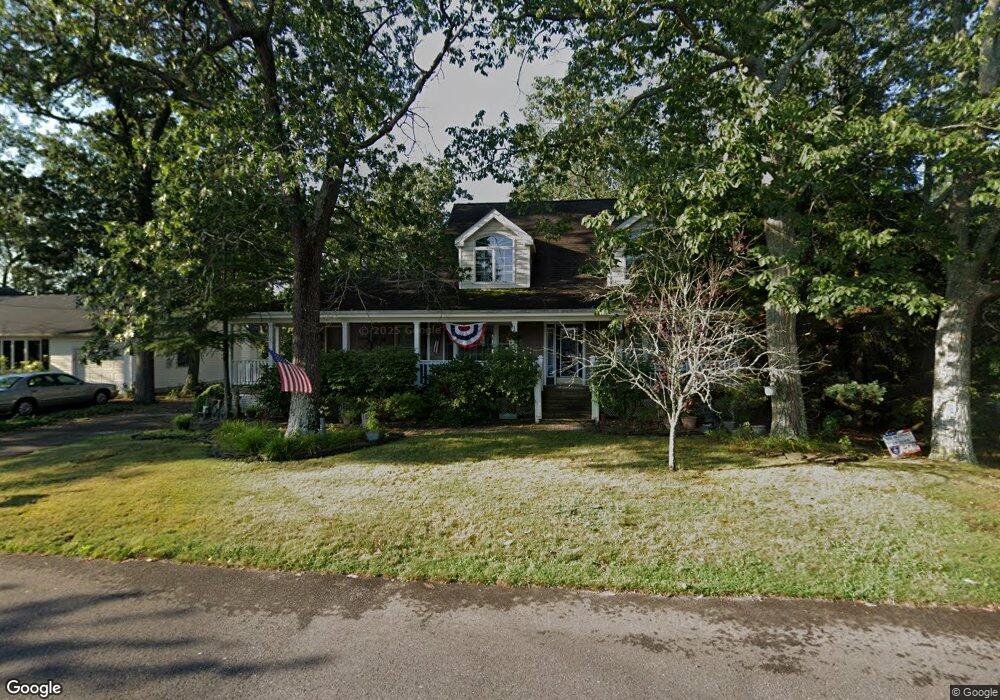
511 Radnor Ave Pine Beach, NJ 08741
Estimated Value: $551,000 - $650,000
3
Beds
2
Baths
2,336
Sq Ft
$258/Sq Ft
Est. Value
About This Home
This home is located at 511 Radnor Ave, Pine Beach, NJ 08741 and is currently estimated at $602,173, approximately $257 per square foot. 511 Radnor Ave is a home located in Ocean County with nearby schools including Ocean Academy and Ambassador Christian Academy.
Ownership History
Date
Name
Owned For
Owner Type
Purchase Details
Closed on
Oct 20, 2020
Sold by
Sherwood Karena
Bought by
The Karena Sherwood Residence Trust
Current Estimated Value
Purchase Details
Closed on
Sep 27, 2001
Sold by
Skalski Ethel
Bought by
Sherwood John and Sherwood Karen
Home Financials for this Owner
Home Financials are based on the most recent Mortgage that was taken out on this home.
Original Mortgage
$65,000
Interest Rate
6.89%
Create a Home Valuation Report for This Property
The Home Valuation Report is an in-depth analysis detailing your home's value as well as a comparison with similar homes in the area
Home Values in the Area
Average Home Value in this Area
Purchase History
| Date | Buyer | Sale Price | Title Company |
|---|---|---|---|
| The Karena Sherwood Residence Trust | -- | None Available | |
| Karena Sherwood Residence Trust | -- | None Listed On Document | |
| Sherwood John | $160,000 | -- |
Source: Public Records
Mortgage History
| Date | Status | Borrower | Loan Amount |
|---|---|---|---|
| Previous Owner | Sherwood John | $65,000 |
Source: Public Records
Tax History
| Year | Tax Paid | Tax Assessment Tax Assessment Total Assessment is a certain percentage of the fair market value that is determined by local assessors to be the total taxable value of land and additions on the property. | Land | Improvement |
|---|---|---|---|---|
| 2025 | $8,574 | $458,500 | $145,000 | $313,500 |
| 2024 | $8,042 | $458,500 | $145,000 | $313,500 |
| 2023 | $8,422 | $458,500 | $145,000 | $313,500 |
| 2022 | $8,422 | $322,300 | $107,000 | $215,300 |
| 2021 | $8,257 | $322,300 | $107,000 | $215,300 |
| 2020 | $8,058 | $322,300 | $107,000 | $215,300 |
| 2019 | $7,793 | $322,300 | $107,000 | $215,300 |
| 2018 | $7,626 | $322,300 | $107,000 | $215,300 |
| 2017 | $7,384 | $322,300 | $107,000 | $215,300 |
| 2016 | $7,187 | $322,300 | $107,000 | $215,300 |
| 2015 | $6,978 | $322,300 | $107,000 | $215,300 |
| 2014 | $6,701 | $322,300 | $107,000 | $215,300 |
Source: Public Records
Map
Nearby Homes
- 420 New Jersey Ave
- 719 Lincoln Ave
- 77 Monument Rd
- 814 Lincoln Ave
- 637 Compass Ave
- 0 Lawshe Dr
- 315 Tudor Ave
- 16 Tudor Ave
- 2 Maple St Unit B
- 111 Lawshe Dr
- 1420 Summit Ave
- 145 Spray Ave
- 1307 Holmes Ave
- 18A River Ave
- 93 Longfellow Ave
- 14 Laurel Ave
- 33 Green Twig Dr
- 82 Scott Dr
- 25 Stollman St
- 236 Longboat Ave
- 505 Radnor Ave
- 310 New Jersey Ave
- 504 Radnor Ave
- 517 Radnor Ave
- 312 New Jersey Ave
- 525 Radnor Ave
- 514 Huntington Ave
- 510 Radnor Ave
- 301 New Jersey Ave
- 524 Huntington Ave
- 514 Radnor Ave
- 430 Radnor Ave
- 0 J F K Blvd Unit 1006455510
- 0 J F K Blvd Unit 5436874
- 309 New Jersey Ave
- 311 New Jersey Ave
- 526 Huntington Ave
- 505 Lincoln Ave
- 426 Radnor Ave
- 509 Lincoln Ave
Your Personal Tour Guide
Ask me questions while you tour the home.