511 Smith St Anderson, SC 29624
Estimated Value: $59,000 - $92,000
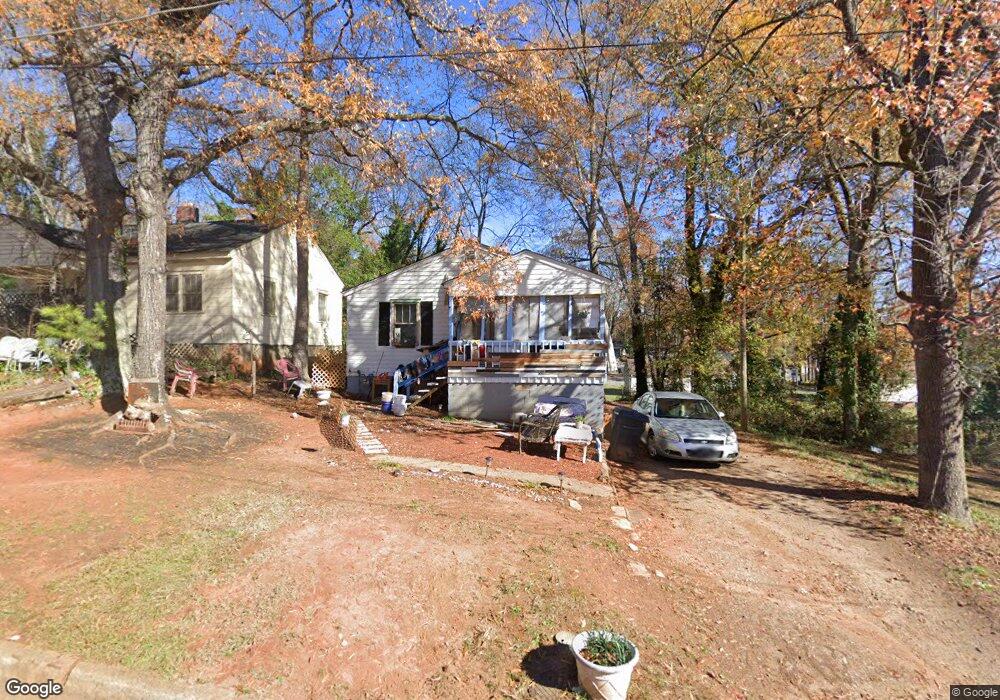
About This Home
This home is located at 511 Smith St, Anderson, SC 29624 and is currently estimated at $75,917, approximately $103 per square foot. 511 Smith St is a home located in Anderson County with nearby schools including New Prospect Elementary School, Robert Anderson Middle School, and Westside High School.
Ownership History
We collect this data history from publicly available records. To have your information removed, we recommend requesting removal directly through your county’s website.
Purchase Details
Purchase Details
Home Financials for this Owner
Home Financials are based on the most recent Mortgage that was taken out on this home.Purchase Details
Home Values in the Area
Average Home Value in this Area
Purchase History
We collect this data history from publicly available records. To have your information removed, we recommend requesting removal directly through your county’s website.
| Date | Buyer | Sale Price | Title Company |
|---|---|---|---|
| $43,000 | None Listed On Document | ||
| $7,500 | None Available | ||
| $12,500 | None Available |
Mortgage History
We collect this data history from publicly available records. To have your information removed, we recommend requesting removal directly through your county’s website.
| Date | Status | Borrower | Loan Amount |
|---|---|---|---|
| Previous Owner | $11,000 |
Tax History
We collect this data history from publicly available records. To have your information removed, we recommend requesting removal directly through your county’s website.
| Year | Tax Paid | Tax Assessment Tax Assessment Total Assessment is a certain percentage of the fair market value that is determined by local assessors to be the total taxable value of land and additions on the property. | Land | Improvement |
|---|---|---|---|---|
| 2025 | $451 | $900 | $300 | $600 |
| 2024 | $451 | $900 | $300 | $600 |
| 2023 | $448 | $900 | $300 | $600 |
| 2022 | $412 | $900 | $300 | $600 |
| 2021 | $386 | $720 | $210 | $510 |
| 2020 | $379 | $720 | $210 | $510 |
| 2019 | $379 | $720 | $210 | $510 |
| 2018 | $376 | $720 | $210 | $510 |
| 2017 | -- | $720 | $210 | $510 |
| 2016 | $390 | $770 | $210 | $560 |
| 2015 | $390 | $770 | $210 | $560 |
| 2014 | $382 | $770 | $210 | $560 |
Map
- 1105 W Franklin St
- 505 Cathcart Dr
- 722 Gary St
- 720 Gary St
- 822 Delia St
- 820 Delia St
- 808 Delia St
- 718 Gary St
- 905 W Market St
- 406 Cunningham Dr
- 701 Delia Street Unit B St Unit B
- 0 W Reed St
- 104 Royal View Dr
- 1312 Dooley St
- 600 W Franklin St
- 1103 Scott Dr
- 00 Hwy 24
- 724 W Whitner St Unit A, B, + 102 Cochran
- 724 W Whitner St Unit A & B Cochran Block
- 110 Cochran Block Unit A & B
Ask me questions while you tour the home.