511 Trout Brook Rd Wayland, MA 01778
Estimated Value: $531,000 - $794,000
3
Beds
2
Baths
1,302
Sq Ft
$468/Sq Ft
Est. Value
About This Home
This home is located at 511 Trout Brook Rd, Wayland, MA 01778 and is currently estimated at $609,360, approximately $468 per square foot. 511 Trout Brook Rd is a home located in Middlesex County with nearby schools including Wayland High School and Corwin-Russell School at Broccoli Hall.
Ownership History
Date
Name
Owned For
Owner Type
Purchase Details
Closed on
Oct 31, 2017
Sold by
Doyon Bryan and Doyon Gail
Bought by
Calvo Guillermo
Current Estimated Value
Home Financials for this Owner
Home Financials are based on the most recent Mortgage that was taken out on this home.
Original Mortgage
$272,400
Outstanding Balance
$227,835
Interest Rate
3.78%
Mortgage Type
New Conventional
Estimated Equity
$381,525
Purchase Details
Closed on
Jun 11, 2009
Sold by
Oxbow Partners Llc
Bought by
Doyon Bryan
Home Financials for this Owner
Home Financials are based on the most recent Mortgage that was taken out on this home.
Original Mortgage
$169,370
Interest Rate
4.82%
Mortgage Type
Purchase Money Mortgage
Create a Home Valuation Report for This Property
The Home Valuation Report is an in-depth analysis detailing your home's value as well as a comparison with similar homes in the area
Home Values in the Area
Average Home Value in this Area
Purchase History
| Date | Buyer | Sale Price | Title Company |
|---|---|---|---|
| Calvo Guillermo | $280,860 | -- | |
| Doyon Bryan | $239,213 | -- |
Source: Public Records
Mortgage History
| Date | Status | Borrower | Loan Amount |
|---|---|---|---|
| Open | Calvo Guillermo | $272,400 | |
| Previous Owner | Doyon Bryan | $169,370 |
Source: Public Records
Tax History Compared to Growth
Tax History
| Year | Tax Paid | Tax Assessment Tax Assessment Total Assessment is a certain percentage of the fair market value that is determined by local assessors to be the total taxable value of land and additions on the property. | Land | Improvement |
|---|---|---|---|---|
| 2025 | $6,252 | $400,000 | $0 | $400,000 |
| 2024 | $5,787 | $372,900 | $0 | $372,900 |
| 2023 | $5,125 | $307,800 | $0 | $307,800 |
| 2022 | $5,648 | $307,800 | $0 | $307,800 |
| 2021 | $5,700 | $307,800 | $0 | $307,800 |
| 2020 | $8,169 | $292,800 | $0 | $292,800 |
| 2019 | $5,135 | $280,900 | $0 | $280,900 |
| 2018 | $8,384 | $266,500 | $0 | $266,500 |
| 2017 | $4,854 | $267,600 | $0 | $267,600 |
| 2016 | $4,526 | $261,000 | $0 | $261,000 |
| 2015 | $4,769 | $259,300 | $0 | $259,300 |
Source: Public Records
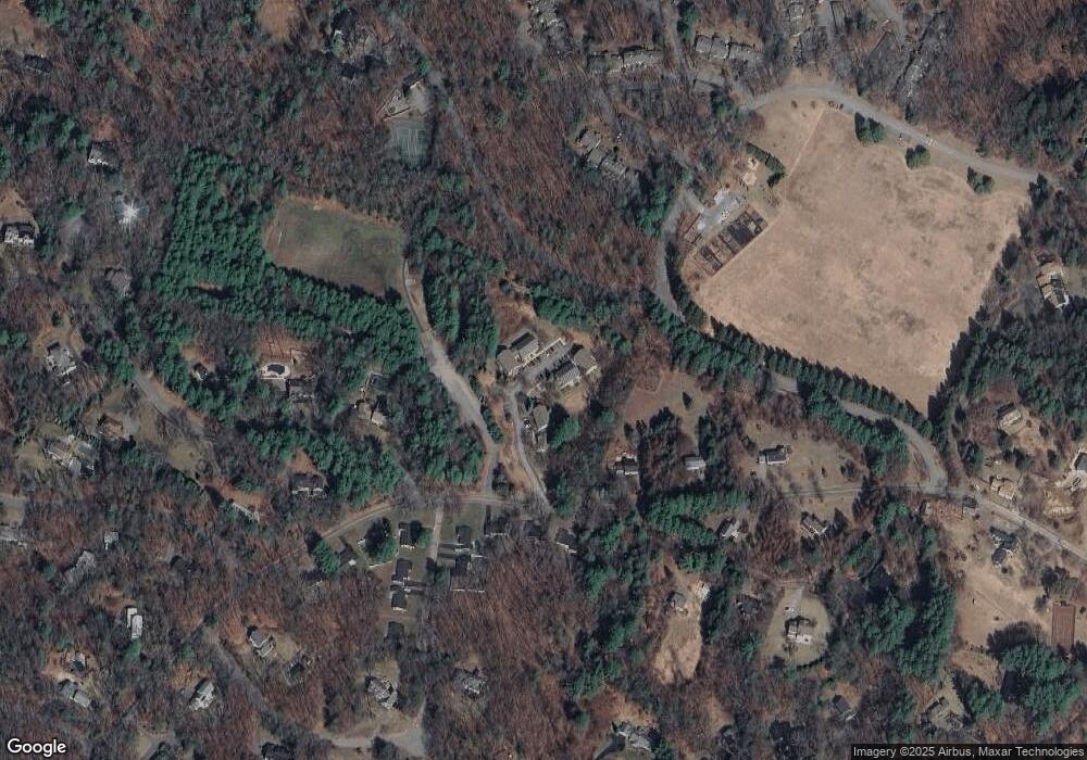
Map
Nearby Homes
- 134 Chestnut Cir
- 224 Aspen Cir
- 25 Birchwood Ln
- 11 Grove St
- 49 Birchwood Ln Unit 49
- 12 Pine Ridge Rd
- 244 Lincoln Rd
- Lot 5 Sailaway Ln
- Lot 4 Sailaway Ln
- 2 Betts Way
- 8 Mina Way
- 0 Elm Unit 73282184
- Lot 9 Sailaway Ln
- 4 Betts Way
- 122 Sand Gully Rd N Unit B
- 93 Old Sudbury Rd
- 236 Lincoln Rd
- 941 Concord Rd
- 15 Lewis Path
- 394 Plainfield Rd Unit 394
- 616 Trout Brook Rd
- 615 Trout Brook Rd
- 614 Trout Brook Rd
- 513 Trout Brook Rd
- 512 Trout Brook Rd
- 410 Trout Brook Rd
- 409 Trout Brook Rd
- 408 Trout Brook Rd
- 307 Trout Brook Rd
- 306 Trout Brook Rd
- 305 Trout Brook Rd
- 204 Trout Brook Rd
- 203 Trout Brook Rd
- 202 Trout Brook Rd
- 101 Trout Brook Rd
- 90 Oxbow Rd
- 85 Oxbow Rd
- 92 Oxbow Rd
- 3 Williams Rd
- 88 Oxbow Rd