511 W Railroad St S Fort Gibson, OK 74434
Estimated Value: $170,000 - $221,000
3
Beds
2
Baths
1,584
Sq Ft
$124/Sq Ft
Est. Value
About This Home
This home is located at 511 W Railroad St S, Fort Gibson, OK 74434 and is currently estimated at $196,381, approximately $123 per square foot. 511 W Railroad St S is a home located in Muskogee County with nearby schools including Fort Gibson Early Learning Center, Fort Gibson Intermediate Elementary School, and Fort Gibson Middle School.
Ownership History
Date
Name
Owned For
Owner Type
Purchase Details
Closed on
Feb 26, 2020
Sold by
Ray Jay J
Bought by
Dale Jackson W and Dale Elizabeth N
Current Estimated Value
Purchase Details
Closed on
Jun 30, 2005
Sold by
Raynor Billy L and Raynor Stacy L
Bought by
Ray Jay J and Ray Charles M
Home Financials for this Owner
Home Financials are based on the most recent Mortgage that was taken out on this home.
Original Mortgage
$21,600
Interest Rate
5.67%
Mortgage Type
New Conventional
Purchase Details
Closed on
Feb 16, 1999
Create a Home Valuation Report for This Property
The Home Valuation Report is an in-depth analysis detailing your home's value as well as a comparison with similar homes in the area
Home Values in the Area
Average Home Value in this Area
Purchase History
| Date | Buyer | Sale Price | Title Company |
|---|---|---|---|
| Dale Jackson W | $8,500 | Pioneer Abstract & Ttl Co Of | |
| Ray Jay J | $24,000 | None Available | |
| -- | $20,000 | -- |
Source: Public Records
Mortgage History
| Date | Status | Borrower | Loan Amount |
|---|---|---|---|
| Previous Owner | Ray Jay J | $21,600 |
Source: Public Records
Tax History Compared to Growth
Tax History
| Year | Tax Paid | Tax Assessment Tax Assessment Total Assessment is a certain percentage of the fair market value that is determined by local assessors to be the total taxable value of land and additions on the property. | Land | Improvement |
|---|---|---|---|---|
| 2025 | $62 | $27,421 | $715 | $26,706 |
| 2024 | $62 | $715 | $715 | $0 |
| 2023 | $62 | $935 | $935 | $0 |
| 2022 | $79 | $935 | $935 | $0 |
| 2021 | $80 | $935 | $935 | $0 |
| 2020 | $49 | $572 | $572 | $0 |
| 2019 | $49 | $572 | $572 | $0 |
| 2018 | $49 | $572 | $572 | $0 |
| 2017 | $51 | $572 | $572 | $0 |
| 2016 | $51 | $572 | $572 | $0 |
| 2015 | $51 | $572 | $572 | $0 |
| 2014 | $1 | $572 | $572 | $0 |
Source: Public Records
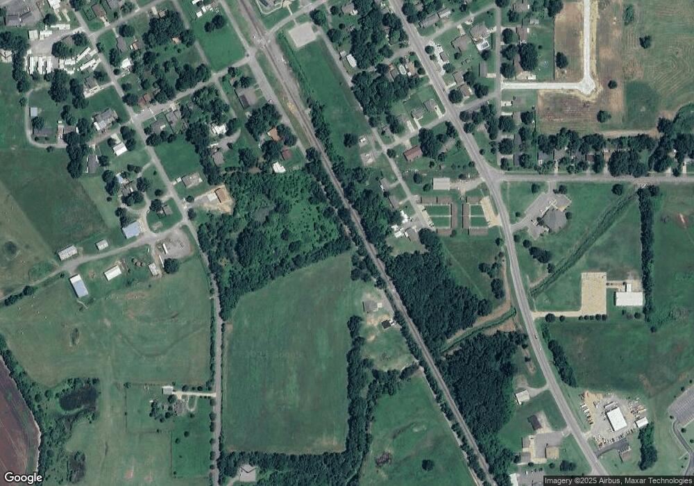
Map
Nearby Homes
- 302 S Scott St
- 125 E Walnut St
- 1100 Hwy 10e
- W 805 Rd
- 616 W Hickory Ave
- 301 E Poplar St
- 212 N Scott St
- 305 E Hickory Ave
- 311 Creek Ave
- 1004 W Poplar St
- 608 N Lee St
- 105 N Firecracker Ln
- 308 N East St
- 513 Beauregard St
- 313 S Meigs St
- 412 W Elm St
- 1003 E Maple St
- 602 Cemetery Rd
- 121 N Meigs St
- 313 E Ash Ave
- 601 SE Railroad St
- 607 SE Railroad St
- 605 SE Railroad St
- 108 W Cedar
- 105 W Cedar
- 106 W Cedar
- 306 S Scott St
- 403 S Scott St
- 308 S Scott St
- 1209 S Lee St
- 102 W Cedar
- 305 S Wheeler
- 303 S Wheeler
- 311 W Railroad St S
- 311 W Railroad St S
- 103 W Pine St
- 307 W Railroad St S
- 407 W Walnut St
- 403 W Walnut St
- 408 W Walnut St