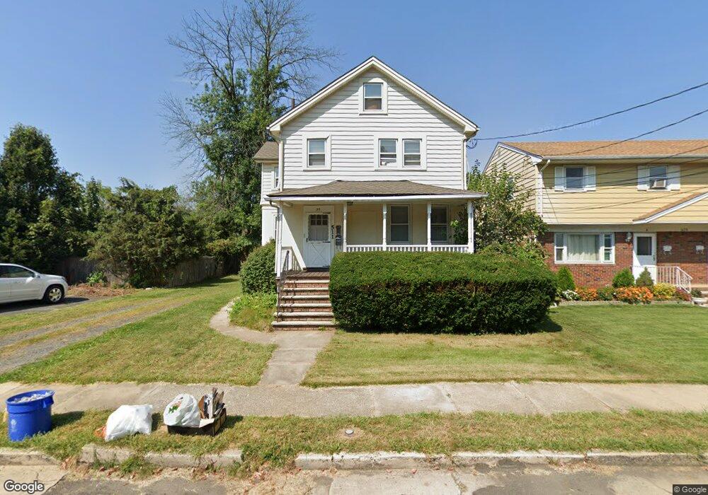
511 Wheatland Ave Unit 1 Bound Brook, NJ 08805
Estimated Value: $426,000 - $456,000
1
Bed
1
Bath
1,522
Sq Ft
$290/Sq Ft
Est. Value
About This Home
This home is located at 511 Wheatland Ave Unit 1, Bound Brook, NJ 08805 and is currently estimated at $441,871, approximately $290 per square foot. 511 Wheatland Ave Unit 1 is a home located in Somerset County with nearby schools including LaMonte Annex Elementary School, Lafayette Elementary School, and Bound Brook High School.
Ownership History
Date
Name
Owned For
Owner Type
Purchase Details
Closed on
Aug 7, 2018
Sold by
Track Real Estate Llc
Bought by
Floden Jacob Gunnar
Current Estimated Value
Home Financials for this Owner
Home Financials are based on the most recent Mortgage that was taken out on this home.
Original Mortgage
$209,000
Outstanding Balance
$181,508
Interest Rate
4.5%
Mortgage Type
New Conventional
Estimated Equity
$260,363
Purchase Details
Closed on
Jul 16, 2014
Sold by
Martin Scott J
Bought by
Track Real Estate Llc
Purchase Details
Closed on
Nov 30, 1998
Sold by
Mendicino Anthony
Bought by
Martin Scott
Purchase Details
Closed on
May 20, 1996
Sold by
Rotunno Est Julia
Bought by
Medicino Anthony
Home Financials for this Owner
Home Financials are based on the most recent Mortgage that was taken out on this home.
Original Mortgage
$93,000
Interest Rate
8.01%
Create a Home Valuation Report for This Property
The Home Valuation Report is an in-depth analysis detailing your home's value as well as a comparison with similar homes in the area
Home Values in the Area
Average Home Value in this Area
Purchase History
| Date | Buyer | Sale Price | Title Company |
|---|---|---|---|
| Floden Jacob Gunnar | $220,000 | Two Rivers Title Co Llc | |
| Track Real Estate Llc | $168,000 | Core Title | |
| Martin Scott | $115,000 | -- | |
| Medicino Anthony | $98,000 | -- |
Source: Public Records
Mortgage History
| Date | Status | Borrower | Loan Amount |
|---|---|---|---|
| Open | Floden Jacob Gunnar | $209,000 | |
| Previous Owner | Medicino Anthony | $93,000 |
Source: Public Records
Tax History Compared to Growth
Tax History
| Year | Tax Paid | Tax Assessment Tax Assessment Total Assessment is a certain percentage of the fair market value that is determined by local assessors to be the total taxable value of land and additions on the property. | Land | Improvement |
|---|---|---|---|---|
| 2025 | $7,712 | $365,100 | $176,800 | $188,300 |
| 2024 | $7,712 | $339,900 | $156,800 | $183,100 |
| 2023 | $7,324 | $310,600 | $131,800 | $178,800 |
| 2022 | $6,889 | $276,900 | $106,800 | $170,100 |
| 2021 | $6,534 | $232,200 | $76,800 | $155,400 |
| 2020 | $6,100 | $197,600 | $56,800 | $140,800 |
| 2019 | $5,749 | $177,600 | $36,800 | $140,800 |
| 2018 | $5,298 | $158,900 | $36,800 | $122,100 |
| 2017 | $5,290 | $155,100 | $36,800 | $118,300 |
| 2016 | $5,424 | $160,200 | $16,800 | $143,400 |
| 2015 | $5,705 | $172,300 | $16,800 | $155,500 |
| 2014 | $6,260 | $182,600 | $16,800 | $165,800 |
Source: Public Records
Map
Nearby Homes
- 542 Wheatland Ave
- 432 Talmage Ave
- 512 W 2nd St
- 105 La Monte Ave
- 510 Dalay Place
- 40 van Keuren Ave Unit 42
- 34 van Keuren Ave Unit 38
- 130 W High St Unit 132
- 126 W High St
- 307 W Union Ave
- 102 W Franklin St
- 2 Drake St
- 208 Sanders Ave
- 601 Thompson Ave
- 641 Crescent Dr
- 606 Vosseller Ave
- 617 Vosseller Ave
- 320 Church St
- 520 Winsor St
- 112-114 E Union Ave
- 511 Wheatland Ave
- 511 Wheatland Ave Unit 2
- 509 Wheatland Ave
- 517 Wheatland Ave
- 507 Wheatland Ave
- 507 Wheatland Ave Unit A
- 507 Wheatland Ave Unit B
- 127 Hardy Ave
- 519 Wheatland Ave
- 514 Wheatland Ave
- 215 Hardy Ave
- 125 Hardy Ave
- 516 Wheatland Ave
- 525 Wheatland Ave
- 520 Wheatland Ave
- 535 W 2nd St
- 119 Hardy Ave
- 419 Wheatland Ave Unit 2
- 419 Wheatland Ave
- 533 Wheatland Ave