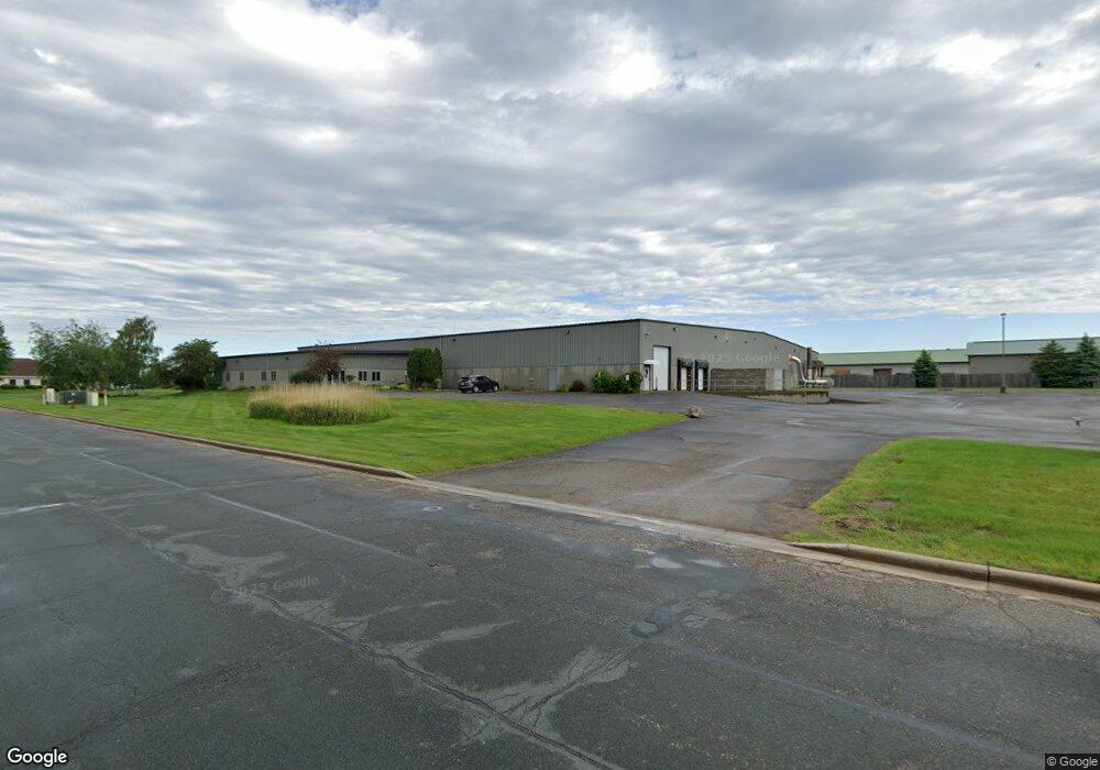
511 Wisconsin Dr New Richmond, WI 54017
Estimated Value: $1,681,335
--
Bed
--
Bath
--
Sq Ft
3.98
Acres
About This Home
This home is located at 511 Wisconsin Dr, New Richmond, WI 54017 and is currently priced at $1,681,335. 511 Wisconsin Dr is a home located in St. Croix County with nearby schools including New Richmond High School and St. Mary School.
Ownership History
Date
Name
Owned For
Owner Type
Purchase Details
Closed on
Mar 15, 2023
Sold by
Summer Seidenkranz Living Trust
Bought by
150 Industrial Boulevard Llc
Current Estimated Value
Purchase Details
Closed on
Mar 7, 2023
Sold by
Schroeder Clark
Bought by
150 Industrial Boulevard Llc
Purchase Details
Closed on
Sep 9, 2016
Sold by
Schroeder Clark M and Seidenkranz Summer S
Bought by
Schroeder Clark and Seidenkranz Summer
Purchase Details
Closed on
Jul 25, 2011
Sold by
Schroeder Clark M and Seidenkranz Summer S
Bought by
Schroeder Clark and Seidenkranz Summer
Create a Home Valuation Report for This Property
The Home Valuation Report is an in-depth analysis detailing your home's value as well as a comparison with similar homes in the area
Home Values in the Area
Average Home Value in this Area
Purchase History
| Date | Buyer | Sale Price | Title Company |
|---|---|---|---|
| 150 Industrial Boulevard Llc | $1,450,000 | -- | |
| 150 Industrial Boulevard Llc | $1,450,000 | St Croix County Abstract & Tit | |
| Schroeder Clark | $10,000 | Attorney | |
| Schroeder Clark | -- | None Available |
Source: Public Records
Tax History Compared to Growth
Tax History
| Year | Tax Paid | Tax Assessment Tax Assessment Total Assessment is a certain percentage of the fair market value that is determined by local assessors to be the total taxable value of land and additions on the property. | Land | Improvement |
|---|---|---|---|---|
| 2024 | $455 | $2,995,600 | $282,300 | $2,713,300 |
| 2023 | $49,006 | $2,960,000 | $279,800 | $2,680,200 |
| 2022 | $47,404 | $2,960,000 | $279,800 | $2,680,200 |
| 2021 | $38,959 | $2,960,000 | $279,800 | $2,680,200 |
| 2020 | $39,949 | $1,604,000 | $215,300 | $1,388,700 |
| 2019 | $37,912 | $1,604,000 | $215,300 | $1,388,700 |
| 2018 | $37,884 | $1,604,000 | $215,300 | $1,388,700 |
| 2017 | $36,582 | $1,604,000 | $215,300 | $1,388,700 |
| 2016 | $36,582 | $1,604,000 | $215,300 | $1,388,700 |
| 2015 | $37,083 | $1,604,000 | $215,300 | $1,388,700 |
| 2014 | $36,286 | $1,604,000 | $215,300 | $1,388,700 |
| 2013 | $35,521 | $1,604,000 | $215,300 | $1,388,700 |
Source: Public Records
Map
Nearby Homes
- 619 Chestnut Dr
- 1343 Creekwood Dr
- 1422 Creekwood Dr
- 1272 Pheasant Run
- 637 Maple Ct
- 1430 Creekwood Dr
- 1141 Pinewood Trail
- 425 Paperjack Dr
- 1337 Eagle Ct
- 1016 W Ridge Ct
- 1549 Creekwood Dr
- 1050 Pheasant Run
- 941 W Edge Place Unit 14
- 1137 Sugar Pine Ln
- 1149 Sugar Pine Ln
- 1131 Alfred Place
- 1565 Ponderosa Ln
- TBD County Road A
- 1208 Tierney Dr
- 1517 Creekwood Dr
- 524 Saint Croix Ave
- 700 Wisconsin Dr
- 475 Wisconsin Dr
- 453 Wisconsin Dr
- 600 Wisconsin Dr
- 400 Wisconsin Dr
- 555 Saint Croix Ave
- 705 Wisconsin Dr
- 457 Saint Croix Ave
- 410 Saint Croix Ave
- 409 Saint Croix Ave
- 330 Wisconsin Dr
- 321 Wisconsin Dr
- 1310 Circle Pine Dr
- 620 Circle Pine Dr
- 610 Circle Pine Dr
- 630 Circle Pine Dr
- 1274 Circle Pine Dr
- 345 Saint Croix Ave
- 640 Circle Pine Dr