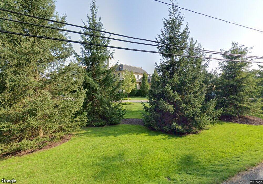
5110 Brookdale Rd Bloomfield Hills, MI 48304
Estimated Value: $3,389,698 - $6,461,000
4
Beds
10
Baths
9,104
Sq Ft
$506/Sq Ft
Est. Value
About This Home
This home is located at 5110 Brookdale Rd, Bloomfield Hills, MI 48304 and is currently estimated at $4,605,566, approximately $505 per square foot. 5110 Brookdale Rd is a home located in Oakland County with nearby schools including Harlan Elementary School, Ernest W. Seaholm High School, and Holy Name School.
Ownership History
Date
Name
Owned For
Owner Type
Purchase Details
Closed on
Jun 29, 2007
Sold by
King Keith S and King Amy S
Bought by
Kazziha Samer
Current Estimated Value
Purchase Details
Closed on
Jan 31, 2007
Sold by
King Nanette B and King Lawrence A
Bought by
King Keith S and King Amy S
Create a Home Valuation Report for This Property
The Home Valuation Report is an in-depth analysis detailing your home's value as well as a comparison with similar homes in the area
Home Values in the Area
Average Home Value in this Area
Purchase History
| Date | Buyer | Sale Price | Title Company |
|---|---|---|---|
| Kazziha Samer | -- | Devon Title Agency | |
| King Keith S | -- | None Available |
Source: Public Records
Tax History Compared to Growth
Tax History
| Year | Tax Paid | Tax Assessment Tax Assessment Total Assessment is a certain percentage of the fair market value that is determined by local assessors to be the total taxable value of land and additions on the property. | Land | Improvement |
|---|---|---|---|---|
| 2024 | $29,086 | $1,922,390 | $0 | $0 |
| 2023 | $27,913 | $1,682,850 | $0 | $0 |
| 2022 | $47,454 | $1,785,840 | $0 | $0 |
| 2021 | $47,641 | $1,840,980 | $0 | $0 |
| 2020 | $26,812 | $1,763,430 | $0 | $0 |
| 2019 | $47,777 | $1,614,860 | $0 | $0 |
| 2018 | $47,253 | $1,630,550 | $0 | $0 |
| 2017 | $47,340 | $1,587,440 | $0 | $0 |
| 2016 | $47,645 | $1,498,350 | $0 | $0 |
| 2015 | -- | $1,405,280 | $0 | $0 |
| 2014 | -- | $1,262,260 | $0 | $0 |
| 2011 | -- | $1,165,330 | $0 | $0 |
Source: Public Records
Map
Nearby Homes
- 0000 Brookdale Rd
- 5554 Pine Brooke Ct
- 1551 Lakeside Dr
- 4890 Charing Cross Rd
- 1295 Lakeside Dr
- 1537 Ashford Ln
- 1115 N Old Woodward #76 Ave
- 1111 N Old Woodward Ave Unit 4
- 1111 N Old Woodward Ave Unit 26
- 1115 N Old Woodward Ave Unit 52
- 1115 N Old Woodward Ave Unit 61
- 1330 Oxford Rd
- 4731 Haddington Dr
- 777 Kensington Ln
- 1030 Lakeside Dr
- 280 Canterbury Rd
- 654 Shepardbush St
- 170 Kirkwood Ct
- 680 Shepardbush St
- 667 Oak Ave
- 0 Strathmore Rd
- 5250 Brookdale Rd
- 5280A Brookdale Rd
- 5090 Brookdale Rd
- 5215 Brookdale Rd
- 5245 Brookdale Rd
- 5095 Brookdale Rd
- 5070 Brookdale Rd
- 5325 Longmeadow Rd
- 5275 Longmeadow Rd
- 5360 Brookdale Rd
- 5255 Longmeadow Rd
- 5075 Brookdale Rd
- 5235 Longmeadow Rd
- 5050 Brookdale Rd
- 5440 Brookdale Rd
- 5275 Brookdale Rd
- 5425 Longmeadow Rd
- 5221 Longmeadow Rd
- 5441 Longmeadow Rd