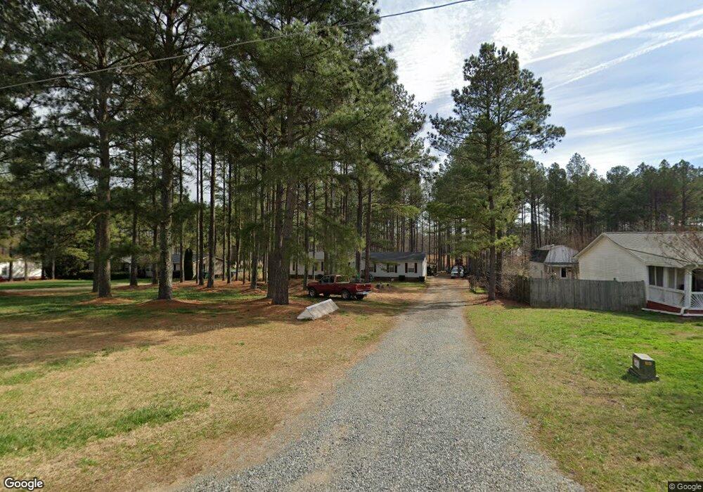
5110 Duncan Rd Monroe, NC 28110
Estimated Value: $196,000 - $314,430
4
Beds
2
Baths
2,129
Sq Ft
$129/Sq Ft
Est. Value
About This Home
This home is located at 5110 Duncan Rd, Monroe, NC 28110 and is currently estimated at $273,608, approximately $128 per square foot. 5110 Duncan Rd is a home located in Union County with nearby schools including Porter Ridge Elementary School, Porter Ridge Middle School, and Porter Ridge High School.
Ownership History
Date
Name
Owned For
Owner Type
Purchase Details
Closed on
Oct 4, 2017
Sold by
Aycock John David and Aycock Courtnay
Bought by
Tanner Design & Build Llc
Current Estimated Value
Home Financials for this Owner
Home Financials are based on the most recent Mortgage that was taken out on this home.
Original Mortgage
$98,400
Outstanding Balance
$82,280
Interest Rate
3.86%
Mortgage Type
Future Advance Clause Open End Mortgage
Estimated Equity
$191,328
Purchase Details
Closed on
Apr 18, 2008
Sold by
Lasalle Bank Na
Bought by
Aycock John David
Home Financials for this Owner
Home Financials are based on the most recent Mortgage that was taken out on this home.
Original Mortgage
$73,400
Interest Rate
5.84%
Mortgage Type
Unknown
Purchase Details
Closed on
Jan 16, 2008
Sold by
Arrowood Ricky D and Arrowood Rosemary
Bought by
Lasalle Bank Na and Emc Mortgage Loan Trust 2005-B Mortgage
Create a Home Valuation Report for This Property
The Home Valuation Report is an in-depth analysis detailing your home's value as well as a comparison with similar homes in the area
Home Values in the Area
Average Home Value in this Area
Purchase History
| Date | Buyer | Sale Price | Title Company |
|---|---|---|---|
| Tanner Design & Build Llc | $110,000 | None Available | |
| Aycock John David | $83,000 | None Available | |
| Lasalle Bank Na | $93,048 | None Available |
Source: Public Records
Mortgage History
| Date | Status | Borrower | Loan Amount |
|---|---|---|---|
| Open | Tanner Design & Build Llc | $98,400 | |
| Previous Owner | Aycock John David | $73,400 |
Source: Public Records
Tax History Compared to Growth
Tax History
| Year | Tax Paid | Tax Assessment Tax Assessment Total Assessment is a certain percentage of the fair market value that is determined by local assessors to be the total taxable value of land and additions on the property. | Land | Improvement |
|---|---|---|---|---|
| 2024 | $1,108 | $164,000 | $32,200 | $131,800 |
| 2023 | $1,098 | $164,000 | $32,200 | $131,800 |
| 2022 | $1,098 | $164,000 | $32,200 | $131,800 |
| 2021 | $1,098 | $164,000 | $32,200 | $131,800 |
| 2020 | $819 | $95,810 | $22,810 | $73,000 |
| 2019 | $819 | $95,810 | $22,810 | $73,000 |
| 2018 | $0 | $95,810 | $22,810 | $73,000 |
| 2017 | $848 | $95,800 | $22,800 | $73,000 |
| 2016 | $834 | $95,810 | $22,810 | $73,000 |
| 2015 | $844 | $95,810 | $22,810 | $73,000 |
| 2014 | $752 | $103,850 | $29,190 | $74,660 |
Source: Public Records
Map
Nearby Homes
- 835 W Unionville Indian Trail Rd
- 0 Unionville Indian Trail Rd W
- 4925 Campobello Dr
- 4933 Campobello Dr
- 1114 Unionville Indian Trail St Unit 2
- 1110 Unionville Indian Trail St Unit 3
- 4708 Stonington Dr
- 4357 Hornyak Dr
- 1405 Harleston St
- 600 Ivah Lee Way
- 4318 Allenby Place
- 600 Station Dr
- 5305 Friendly Baptist Church Rd
- 0 Friendly Baptist Church Rd Unit 3 CAR4199087
- 0 Friendly Baptist Church Rd Unit 4 CAR4199083
- 4010 Concord Hwy
- 5317 Friendly Baptist Ch Rd
- Graylyn Plan at Riverstone - Park
- 2013 Swanport Ln
- 4172 Poplin Grove Dr
- 5114 Duncan Rd
- 5104 Duncan Rd
- 5118 Duncan Rd
- 5100 Duncan Rd
- 5107 Duncan Rd
- 5111 Duncan Rd
- 5103 Duncan Rd
- 5122 Duncan Rd
- 5115 Duncan Rd
- N/A Duncan Rd
- 5022 Duncan Rd
- 5119 Duncan Rd
- 5126 Duncan Rd
- 710 Pennigar Rd
- 708 Pennigar Rd
- 5018 Duncan Rd
- 5201 Duncan Rd
- 5019 Duncan Rd
- 5015 Duncan Rd
- 5015 Duncan Rd