5110 Grey Rock Cir Clarkston, MI 48346
Estimated Value: $388,425 - $873,000
4
Beds
3
Baths
1,774
Sq Ft
$308/Sq Ft
Est. Value
About This Home
This home is located at 5110 Grey Rock Cir, Clarkston, MI 48346 and is currently estimated at $545,856, approximately $307 per square foot. 5110 Grey Rock Cir is a home located in Oakland County with nearby schools including Andersonville Elementary School, Springfield Christian Academy, and Our Lady Of The Lakes Catholic School.
Ownership History
Date
Name
Owned For
Owner Type
Purchase Details
Closed on
Apr 29, 2020
Sold by
Bartlett David J and Bartlett Lisa L
Bought by
Bartlett David J and Bartlett Lisa L
Current Estimated Value
Purchase Details
Closed on
Aug 31, 1994
Sold by
Pilarcik Robert J
Bought by
Bartlett David J and Bartlett L
Home Financials for this Owner
Home Financials are based on the most recent Mortgage that was taken out on this home.
Original Mortgage
$109,500
Interest Rate
8.44%
Create a Home Valuation Report for This Property
The Home Valuation Report is an in-depth analysis detailing your home's value as well as a comparison with similar homes in the area
Home Values in the Area
Average Home Value in this Area
Purchase History
| Date | Buyer | Sale Price | Title Company |
|---|---|---|---|
| Bartlett David J | -- | None Available | |
| Bartlett David J | $146,000 | -- |
Source: Public Records
Mortgage History
| Date | Status | Borrower | Loan Amount |
|---|---|---|---|
| Closed | Bartlett David J | $109,500 |
Source: Public Records
Tax History Compared to Growth
Tax History
| Year | Tax Paid | Tax Assessment Tax Assessment Total Assessment is a certain percentage of the fair market value that is determined by local assessors to be the total taxable value of land and additions on the property. | Land | Improvement |
|---|---|---|---|---|
| 2024 | $2,369 | $173,400 | $45,200 | $128,200 |
| 2023 | $3,195 | $157,700 | $41,400 | $116,300 |
| 2022 | $3,195 | $141,800 | $41,400 | $100,400 |
| 2021 | $3,195 | $139,300 | $41,100 | $98,200 |
| 2020 | $2,068 | $134,900 | $39,300 | $95,600 |
| 2018 | $3,049 | $132,000 | $36,700 | $95,300 |
| 2015 | -- | $111,400 | $0 | $0 |
| 2014 | -- | $105,300 | $0 | $0 |
| 2011 | -- | $91,900 | $0 | $0 |
Source: Public Records
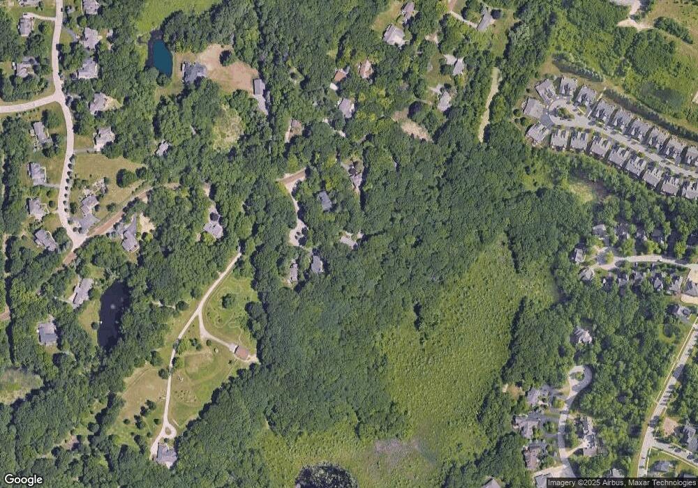
Map
Nearby Homes
- 7118 Oak Ridge Ct
- 6947 Stonewood Place Unit 12
- The Franklin II Plan at Park Ridge at Stonewood
- 6944 Stonewood Place Unit 36
- 7285 Rabbit Ears Pass
- 7651 Maple Ridge Ct Unit 28
- 7500 Dixie Hwy
- 7509 Maple Ridge Dr
- 7513 Maple Ridge Dr
- 7541 Maple Ridge Dr
- 7950 Clement Rd
- 7314 Village Park Dr Unit 47
- V/L Dixie Hwy
- 5690 White Lake Rd
- 9457 Dixie Hwy
- 7756 Phelan Dr
- 6832 Northcrest Way E Unit 31
- 7181 Hillside Dr
- 0000 Deerhill
- 6512 White Lake Rd
- 5120 Grey Rock Cir
- 5100 Grey Rock Cir
- 7783 Foster Rd
- 003 Stonewood
- 01 Stonewood
- 008 Stonewood
- 007 Stonewood
- 005 Stonewood
- 00 Stonewood
- 43-44 Stonewood
- 41-42 Stonewood
- 6145 Stonewood
- 3 Stonewood Place
- 1 Stonewood Place
- 0 Stonewood Place
- 8 Stonewood Place
- 7 Stonewood Place
- 5 Stonewood Place
- 5130 Grey Rock Cir
- 7775 Foster Rd