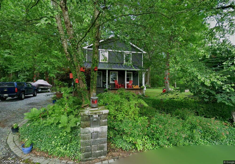
5110 Jacks Ln West River, MD 20778
Estimated Value: $523,405 - $612,000
--
Bed
3
Baths
1,724
Sq Ft
$321/Sq Ft
Est. Value
About This Home
This home is located at 5110 Jacks Ln, West River, MD 20778 and is currently estimated at $552,851, approximately $320 per square foot. 5110 Jacks Ln is a home located in Anne Arundel County with nearby schools including Deale Elementary School, Southern Middle School, and Southern High School.
Ownership History
Date
Name
Owned For
Owner Type
Purchase Details
Closed on
Apr 28, 1998
Sold by
Richard L Howard Const Co Inc
Bought by
Boucher Kenneth J and Boucher Brenda D
Current Estimated Value
Purchase Details
Closed on
Aug 19, 1997
Sold by
Moore Wendy
Bought by
Richard L Howard Const Co Inc
Purchase Details
Closed on
Jun 21, 1988
Sold by
Miller Richard L
Bought by
Moore Wendy
Home Financials for this Owner
Home Financials are based on the most recent Mortgage that was taken out on this home.
Original Mortgage
$20,500
Interest Rate
10.35%
Create a Home Valuation Report for This Property
The Home Valuation Report is an in-depth analysis detailing your home's value as well as a comparison with similar homes in the area
Home Values in the Area
Average Home Value in this Area
Purchase History
| Date | Buyer | Sale Price | Title Company |
|---|---|---|---|
| Boucher Kenneth J | $165,000 | -- | |
| Richard L Howard Const Co Inc | $38,000 | -- | |
| Moore Wendy | $27,000 | -- |
Source: Public Records
Mortgage History
| Date | Status | Borrower | Loan Amount |
|---|---|---|---|
| Previous Owner | Moore Wendy | $20,500 |
Source: Public Records
Tax History Compared to Growth
Tax History
| Year | Tax Paid | Tax Assessment Tax Assessment Total Assessment is a certain percentage of the fair market value that is determined by local assessors to be the total taxable value of land and additions on the property. | Land | Improvement |
|---|---|---|---|---|
| 2025 | $3,317 | $393,633 | -- | -- |
| 2024 | $3,317 | $368,767 | $0 | $0 |
| 2023 | $2,732 | $343,900 | $182,000 | $161,900 |
| 2022 | $3,000 | $338,267 | $0 | $0 |
| 2021 | $5,901 | $332,633 | $0 | $0 |
| 2020 | $2,862 | $327,000 | $182,000 | $145,000 |
| 2019 | $2,805 | $311,167 | $0 | $0 |
| 2018 | $317 | $295,333 | $0 | $0 |
| 2017 | $2,625 | $279,500 | $0 | $0 |
| 2016 | $317 | $279,500 | $0 | $0 |
| 2015 | $317 | $279,500 | $0 | $0 |
| 2014 | -- | $279,500 | $0 | $0 |
Source: Public Records
Map
Nearby Homes
- 1037 Biltmore Ave
- 5162 Cedarlea Dr
- 5860 Shady Side Rd
- 5235 Chalk Point Rd
- 676 Plantation Blvd
- 4938 Rullman Rd
- 4992 Lerch Dr
- 1133 Steamboat Rd
- 4907 Quince St
- 4908 Aspen St
- 5277 Cedar St
- 4912 Beech St
- 4900 Thomas Dr
- 5771 Shady Side Rd
- 1302 Spruce St
- 6152 Shady Side Rd
- 6118 Shady Side Rd
- 0 Riverside Dr Unit B43 MDAA2117960
- 0 Riverside Dr Unit C4 MDAA2119968
- 6070 Shady Side Rd
- 5114 Jacks Ln
- 5108 Jacks Ln
- 1036 Allen Ave
- 1038 Allen Ave
- 1035 Allen Ave
- 1034 Allen Ave
- 1032 Allen Ave
- 1049 Friendship Ln
- 1033 Allen Ave
- 1030 Allen Ave
- 1033 Biltmore Ave
- 1031 Allen Ave
- 1031 Biltmore Ave
- 1035 Biltmore Ave
- 1029 Biltmore Ave
- 1105 Cherry Point Rd
- 1028 Allen Ave
- 1029 Allen Ave
- 1025 Biltmore Ave
- 1039 Biltmore Ave