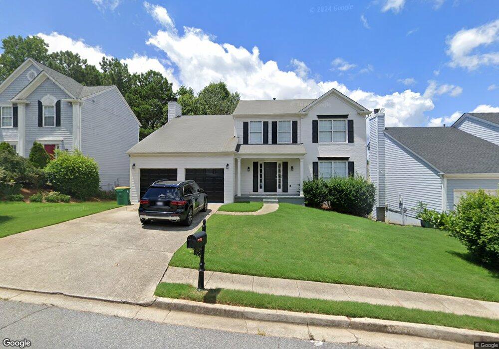
5111 Bankside Way Norcross, GA 30092
Estimated Value: $569,000 - $638,000
5
Beds
4
Baths
2,872
Sq Ft
$209/Sq Ft
Est. Value
About This Home
This home is located at 5111 Bankside Way, Norcross, GA 30092 and is currently estimated at $598,919, approximately $208 per square foot. 5111 Bankside Way is a home located in Gwinnett County with nearby schools including Berkeley Lake Elementary School, Duluth Middle School, and Duluth High School.
Ownership History
Date
Name
Owned For
Owner Type
Purchase Details
Closed on
Nov 30, 2020
Sold by
Reed Richard
Bought by
Hoang Duy and Le Phuong
Current Estimated Value
Home Financials for this Owner
Home Financials are based on the most recent Mortgage that was taken out on this home.
Original Mortgage
$324,000
Outstanding Balance
$285,800
Interest Rate
2.8%
Mortgage Type
New Conventional
Estimated Equity
$313,119
Purchase Details
Closed on
Jul 31, 2020
Sold by
Dubois Edna M
Bought by
Reed Richard
Purchase Details
Closed on
Sep 22, 1995
Sold by
Pulte Home Corp
Bought by
Dubois Edna M
Create a Home Valuation Report for This Property
The Home Valuation Report is an in-depth analysis detailing your home's value as well as a comparison with similar homes in the area
Home Values in the Area
Average Home Value in this Area
Purchase History
| Date | Buyer | Sale Price | Title Company |
|---|---|---|---|
| Hoang Duy | $405,000 | -- | |
| Reed Richard | $270,000 | -- | |
| Dubois Edna M | $150,700 | -- |
Source: Public Records
Mortgage History
| Date | Status | Borrower | Loan Amount |
|---|---|---|---|
| Open | Hoang Duy | $324,000 | |
| Closed | Dubois Edna M | $0 |
Source: Public Records
Tax History Compared to Growth
Tax History
| Year | Tax Paid | Tax Assessment Tax Assessment Total Assessment is a certain percentage of the fair market value that is determined by local assessors to be the total taxable value of land and additions on the property. | Land | Improvement |
|---|---|---|---|---|
| 2025 | $6,020 | $198,000 | $34,000 | $164,000 |
| 2024 | $6,859 | $232,320 | $38,400 | $193,920 |
| 2023 | $6,859 | $209,320 | $38,400 | $170,920 |
| 2022 | $6,168 | $198,360 | $34,800 | $163,560 |
| 2021 | $5,271 | $139,960 | $27,760 | $112,200 |
| 2020 | $4,816 | $126,480 | $24,000 | $102,480 |
| 2019 | $1,265 | $126,480 | $24,000 | $102,480 |
| 2018 | $1,260 | $110,680 | $22,000 | $88,680 |
| 2016 | $1,217 | $93,480 | $16,000 | $77,480 |
| 2015 | $1,249 | $93,480 | $16,000 | $77,480 |
| 2014 | -- | $89,800 | $16,000 | $73,800 |
Source: Public Records
Map
Nearby Homes
- 3239 Claudia Ct
- 3204 Claudia Place
- 3225 Claudia Place
- 3680 Highcroft Cir
- 3630 Bridge Mill Ct Unit 2
- 3725 Highcroft Cir
- 5355 Spalding Bridge Ct
- 5064 Insperon Ln Unit 34
- Olmstead Plan at Town Center Overlook
- Lynnwood Plan at Town Center Overlook
- 3875 Ancroft Cir
- 4924 Waterport Way
- 0 Medlock Bridge Rd Unit 7311679
- 4897 Lou Ivy Rd
- 5211 Montine Way
- 3179 Rock Port Cir
- 5018 Wickford Dr
- 4915 Millers Trace
- 3330 Avocet Ct
- 5121 Bankside Way
- 5101 Bankside Way Unit I
- 3614 Kentford Ln
- 5131 Bankside Way
- 3599 Lamberth Ct
- 3579 Niles Way
- 5100 Bankside Way
- 5100 Bankside Way Unit 1
- 5141 Bankside Way Unit 1
- 3589 Lamberth Ct Unit 1
- 5106 Brinden Mill Dr
- 3615 Kentford Ln
- 3589 Niles Way
- 5090 Bankside Way
- 3634 Kentford Ln
- 3599 Niles Way
- 5151 Bankside Way Unit 1
- 5151 Bankside Way
- 5116 Brinden Mill Dr
- 0 Niles Way