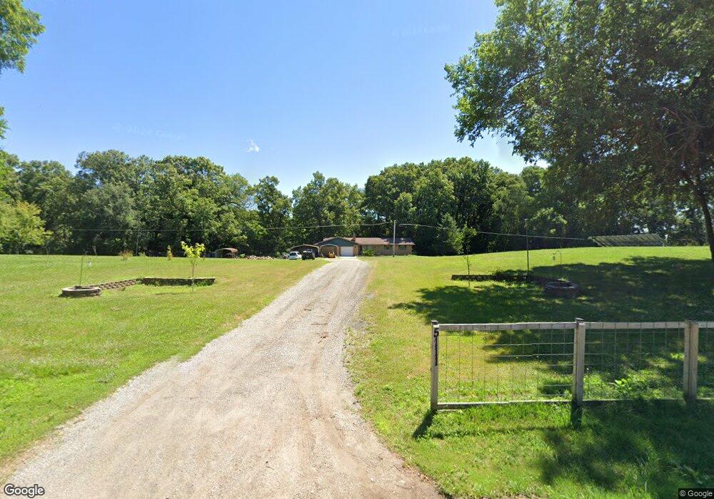
5111 Fail Rd La Porte, IN 46350
Estimated Value: $298,805 - $530,000
3
Beds
2
Baths
1,414
Sq Ft
$270/Sq Ft
Est. Value
About This Home
This home is located at 5111 Fail Rd, La Porte, IN 46350 and is currently estimated at $382,201, approximately $270 per square foot. 5111 Fail Rd is a home located in LaPorte County with nearby schools including New Prairie High School, Sacred Heart Apostolic School, and Lalumiere School Inc.
Ownership History
Date
Name
Owned For
Owner Type
Purchase Details
Closed on
Jan 6, 2022
Sold by
Shaffer Joe and Haines Dawn M
Bought by
Petit Kristina Leah and Petit Michael Steven
Current Estimated Value
Purchase Details
Closed on
May 30, 2006
Sold by
Winski Robert L and Winski Sandra L
Bought by
Shaffer Joe and Haines Dawn M
Home Financials for this Owner
Home Financials are based on the most recent Mortgage that was taken out on this home.
Original Mortgage
$150,000
Interest Rate
6.62%
Mortgage Type
Fannie Mae Freddie Mac
Create a Home Valuation Report for This Property
The Home Valuation Report is an in-depth analysis detailing your home's value as well as a comparison with similar homes in the area
Purchase History
| Date | Buyer | Sale Price | Title Company |
|---|---|---|---|
| Petit Kristina Leah | -- | Drake Andrew R | |
| Shaffer Joe | -- | None Available |
Source: Public Records
Mortgage History
| Date | Status | Borrower | Loan Amount |
|---|---|---|---|
| Previous Owner | Shaffer Joe | $150,000 |
Source: Public Records
Tax History
| Year | Tax Paid | Tax Assessment Tax Assessment Total Assessment is a certain percentage of the fair market value that is determined by local assessors to be the total taxable value of land and additions on the property. | Land | Improvement |
|---|---|---|---|---|
| 2025 | $1,941 | $199,500 | $36,000 | $163,500 |
| 2024 | $1,803 | $189,700 | $36,000 | $153,700 |
| 2022 | $1,791 | $171,600 | $36,000 | $135,600 |
| 2021 | $1,780 | $159,900 | $36,000 | $123,900 |
| 2020 | $1,829 | $159,900 | $36,000 | $123,900 |
| 2019 | $1,764 | $153,400 | $36,000 | $117,400 |
| 2018 | $1,667 | $155,000 | $36,000 | $119,000 |
| 2017 | $1,543 | $145,900 | $30,000 | $115,900 |
| 2016 | $1,668 | $146,700 | $30,000 | $116,700 |
| 2014 | $1,359 | $143,500 | $24,000 | $119,500 |
Source: Public Records
Map
Nearby Homes
- 842 E Sportsman Ln
- Lots 41-44 Campbell
- 4755 N Range Rd
- 344 E 650 N
- 6844 N Modern Way
- 4711 N 100 W
- 4404 N 350 E
- 7701 N Fail Rd
- 3202 N 300 E
- 1232 W 650 N
- 2027 N Coachlight Dr
- 2897 N Morning Glory Ave
- 306 W Michigan St
- 3429 E Sand Ridge Rd
- 2945 N Morning Glory Ave Unit 73
- 2983 N Morning Glory Ave Unit 72
- 2979 N Morning Glory Ave
- 2893 N Morning Glory Ave
- 2248 E State Road 2
- 1083 Indiana 2 Unit 19
- 5111 N Fail Rd
- 1011 E Us Highway 20
- 5205 N Fail Rd
- 5205 N Fail Rd
- 5178 N Fail Rd
- 909 E Us Highway 20
- 5218 N Fail Rd
- 5221 N Fail Rd
- 4912 N Fail Rd
- 4912 N Fail Rd
- 1233 Highway 20
- 1233 E Us Highway 20
- 5247 N Fail Rd
- 5247 N Fail Rd
- 4854 N Fail Rd
- 4854 N Fail Rd
- 5252 N Fail Rd
- 1251 E Us Highway 20
- 4808 N Fail Rd
- 4808 Fail Rd
Your Personal Tour Guide
Ask me questions while you tour the home.