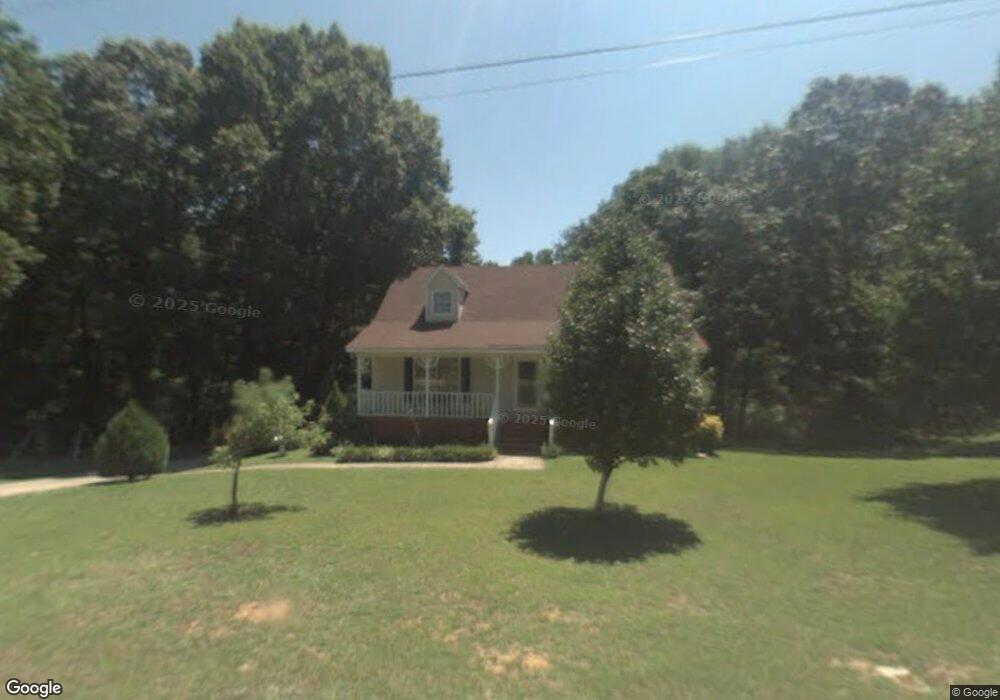
5111 Henderson Rd Adamsville, AL 35005
Estimated Value: $192,000 - $228,000
3
Beds
2
Baths
2,240
Sq Ft
$92/Sq Ft
Est. Value
About This Home
This home is located at 5111 Henderson Rd, Adamsville, AL 35005 and is currently estimated at $205,780, approximately $91 per square foot. 5111 Henderson Rd is a home located in Jefferson County with nearby schools including Adamsville Elementary School, Minor Middle School, and Minor High School.
Ownership History
Date
Name
Owned For
Owner Type
Purchase Details
Closed on
Aug 28, 1997
Sold by
Williams Malcolm Keith and Williams Mia C
Bought by
Noles James P
Current Estimated Value
Home Financials for this Owner
Home Financials are based on the most recent Mortgage that was taken out on this home.
Original Mortgage
$89,877
Outstanding Balance
$13,880
Interest Rate
7.43%
Mortgage Type
FHA
Estimated Equity
$191,900
Create a Home Valuation Report for This Property
The Home Valuation Report is an in-depth analysis detailing your home's value as well as a comparison with similar homes in the area
Home Values in the Area
Average Home Value in this Area
Purchase History
| Date | Buyer | Sale Price | Title Company |
|---|---|---|---|
| Noles James P | $92,000 | -- |
Source: Public Records
Mortgage History
| Date | Status | Borrower | Loan Amount |
|---|---|---|---|
| Open | Noles James P | $89,877 |
Source: Public Records
Tax History Compared to Growth
Tax History
| Year | Tax Paid | Tax Assessment Tax Assessment Total Assessment is a certain percentage of the fair market value that is determined by local assessors to be the total taxable value of land and additions on the property. | Land | Improvement |
|---|---|---|---|---|
| 2024 | $861 | $17,100 | -- | -- |
| 2022 | $947 | $16,480 | $1,430 | $15,050 |
| 2021 | $643 | $11,460 | $1,430 | $10,030 |
| 2020 | $673 | $11,950 | $1,430 | $10,520 |
| 2019 | $632 | $11,280 | $0 | $0 |
| 2018 | $637 | $11,360 | $0 | $0 |
| 2017 | $637 | $11,360 | $0 | $0 |
| 2016 | $637 | $11,360 | $0 | $0 |
| 2015 | $637 | $11,360 | $0 | $0 |
| 2014 | $631 | $9,720 | $0 | $0 |
| 2013 | $631 | $9,720 | $0 | $0 |
Source: Public Records
Map
Nearby Homes
- 5204 Bellwood Dr
- 0 Kings Dr
- 319 Burgundy Dr
- 405 Union Grove Rd
- 929 Crestview Ln
- 5208 Highland Ave
- 909 Longview Cir
- 5453 Robin Cir
- 217 Valley St
- 5317 Adams Ave
- 208 Spring St
- 1517 Union Grove Rd
- 1517 Union Grove Rd Unit 1
- 4919 Railroad Ave
- 1051 Dogwood Rd
- 1051 Dogwood Rd Unit 1
- 1281 Union Grove Rd
- 626 Basswood Dr
- 5628 Sanders Ave
- 4630 Plymouth Ave Unit 9
- 5105 Henderson Rd
- 5100 Henderson Rd
- 5117 Henderson Rd
- 5048 Hazelwood Rd
- 5108 Hazelwood Rd
- 626 Lamberth Dr
- 5200 Henderson Rd
- 5040 Hazelwood Rd
- 5030 Hazelwood Rd
- 5112 Hazelwood Rd
- 623 Lamberth Dr
- 5208 Henderson Rd
- 621 Lamberth Dr
- 617 Lamberth Dr
- 625 Sharon Ln
- 5116 Hazelwood Rd
- 629 Lamberth Dr
- 5020 Hazelwood Rd
- 629 Sharon Ln
- 616 Kimberly Dr