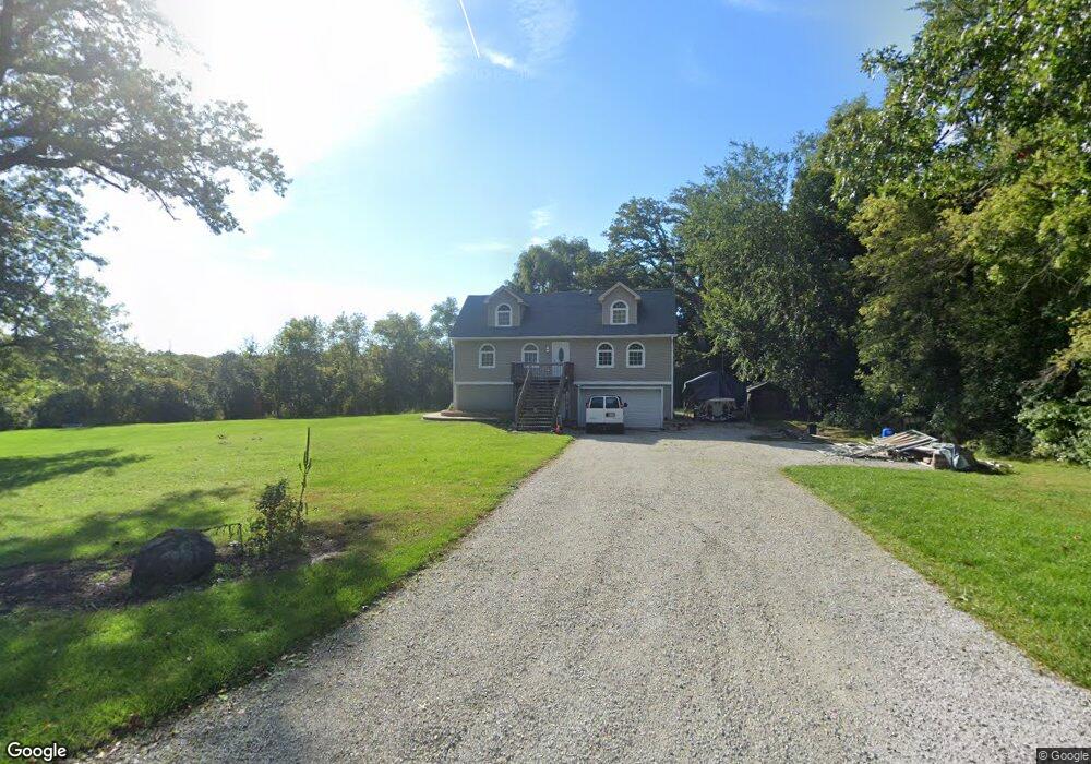
5111 Wayside Dr McHenry, IL 60051
West Island Lake NeighborhoodEstimated Value: $297,000 - $444,666
3
Beds
3
Baths
2,700
Sq Ft
$143/Sq Ft
Est. Value
About This Home
This home is located at 5111 Wayside Dr, McHenry, IL 60051 and is currently estimated at $387,417, approximately $143 per square foot. 5111 Wayside Dr is a home located in McHenry County with nearby schools including Cotton Creek School, Matthews Middle School, and Wauconda High School.
Ownership History
Date
Name
Owned For
Owner Type
Purchase Details
Closed on
Sep 11, 2009
Sold by
Hsbc Mortgage Services Inc
Bought by
Wipper Daniel J
Current Estimated Value
Home Financials for this Owner
Home Financials are based on the most recent Mortgage that was taken out on this home.
Original Mortgage
$101,500
Interest Rate
5.11%
Mortgage Type
New Conventional
Purchase Details
Closed on
Nov 24, 2008
Sold by
Knauss Beth Lynn
Bought by
Hsbc Mortgage Services Inc
Purchase Details
Closed on
Jul 19, 2005
Sold by
Chicago Title Land Trust Co
Bought by
Knauss Beth Lynn
Home Financials for this Owner
Home Financials are based on the most recent Mortgage that was taken out on this home.
Original Mortgage
$400,000
Interest Rate
7.75%
Mortgage Type
Purchase Money Mortgage
Create a Home Valuation Report for This Property
The Home Valuation Report is an in-depth analysis detailing your home's value as well as a comparison with similar homes in the area
Home Values in the Area
Average Home Value in this Area
Purchase History
| Date | Buyer | Sale Price | Title Company |
|---|---|---|---|
| Wipper Daniel J | $145,000 | Forum Title Insurance Co | |
| Hsbc Mortgage Services Inc | -- | None Available | |
| Knauss Beth Lynn | $400,000 | Republic Title Company |
Source: Public Records
Mortgage History
| Date | Status | Borrower | Loan Amount |
|---|---|---|---|
| Previous Owner | Wipper Daniel J | $101,500 | |
| Previous Owner | Knauss Beth Lynn | $400,000 |
Source: Public Records
Tax History
| Year | Tax Paid | Tax Assessment Tax Assessment Total Assessment is a certain percentage of the fair market value that is determined by local assessors to be the total taxable value of land and additions on the property. | Land | Improvement |
|---|---|---|---|---|
| 2024 | $6,992 | $104,242 | $28,324 | $75,918 |
| 2023 | $6,708 | $93,482 | $25,400 | $68,082 |
| 2022 | $7,361 | $85,489 | $23,228 | $62,261 |
| 2021 | $7,129 | $80,151 | $21,778 | $58,373 |
| 2020 | $6,750 | $77,748 | $21,125 | $56,623 |
| 2019 | $7,715 | $84,692 | $32,326 | $52,366 |
| 2018 | $7,262 | $79,552 | $30,364 | $49,188 |
| 2017 | $7,061 | $76,214 | $29,090 | $47,124 |
| 2016 | $6,865 | $72,716 | $27,755 | $44,961 |
| 2013 | -- | $69,204 | $26,415 | $42,789 |
Source: Public Records
Map
Nearby Homes
- 6 Lots Porten Rd
- Lot 0 S Pine St
- 5220 Palm St
- 806 Peter St
- 1102 Noble Pkwy
- 1302 Autumn Ridge Ct
- 104 Channel Dr
- 4505 Giant Oak Dr
- 28965 W Roberts Rd
- 651 S Circle Ave
- 29652 W Roberts Rd
- 4400 Riverside Dr
- 4024 Newport Dr
- 28406 W Park Ave
- 138 Eastwood Ave
- Lot 11 Park Dr
- 27692 N Oak St
- 26814 N Genesee St
- 28373 W Main St
- 28379 W Main St