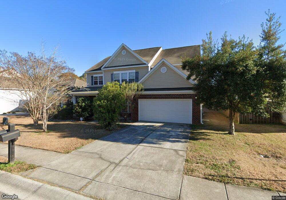
5112 Blair Rd Summerville, SC 29483
Estimated Value: $402,000 - $456,000
--
Bed
1
Bath
3,049
Sq Ft
$139/Sq Ft
Est. Value
About This Home
This home is located at 5112 Blair Rd, Summerville, SC 29483 and is currently estimated at $423,141, approximately $138 per square foot. 5112 Blair Rd is a home located in Dorchester County with nearby schools including Knightsville Elementary School, Charles B. DuBose Middle School, and Summerville High School.
Ownership History
Date
Name
Owned For
Owner Type
Purchase Details
Closed on
Dec 10, 2008
Sold by
Asamoah Kwasi
Bought by
Opoku Agyeman Comfort
Current Estimated Value
Purchase Details
Closed on
Sep 17, 2007
Sold by
The Ryland Group Inc
Bought by
Asamoah Kwasi
Home Financials for this Owner
Home Financials are based on the most recent Mortgage that was taken out on this home.
Original Mortgage
$257,243
Interest Rate
6.57%
Mortgage Type
Purchase Money Mortgage
Purchase Details
Closed on
Mar 7, 2007
Sold by
Myers Mill Llc
Bought by
The Ryland Group Inc
Create a Home Valuation Report for This Property
The Home Valuation Report is an in-depth analysis detailing your home's value as well as a comparison with similar homes in the area
Home Values in the Area
Average Home Value in this Area
Purchase History
| Date | Buyer | Sale Price | Title Company |
|---|---|---|---|
| Opoku Agyeman Comfort | -- | -- | |
| Asamoah Kwasi | $321,554 | Attorney | |
| The Ryland Group Inc | $414,408 | None Available |
Source: Public Records
Mortgage History
| Date | Status | Borrower | Loan Amount |
|---|---|---|---|
| Previous Owner | Asamoah Kwasi | $257,243 |
Source: Public Records
Tax History Compared to Growth
Tax History
| Year | Tax Paid | Tax Assessment Tax Assessment Total Assessment is a certain percentage of the fair market value that is determined by local assessors to be the total taxable value of land and additions on the property. | Land | Improvement |
|---|---|---|---|---|
| 2024 | $2,049 | $15,495 | $4,560 | $10,935 |
| 2023 | $2,049 | $10,001 | $1,800 | $8,201 |
| 2022 | $1,826 | $10,000 | $1,800 | $8,200 |
| 2021 | $1,826 | $10,000 | $1,800 | $8,200 |
| 2020 | $1,710 | $8,810 | $1,600 | $7,210 |
| 2019 | $1,655 | $8,810 | $1,600 | $7,210 |
| 2018 | $1,472 | $8,810 | $1,600 | $7,210 |
| 2017 | $1,462 | $8,810 | $1,600 | $7,210 |
| 2016 | $1,449 | $8,810 | $1,600 | $7,210 |
| 2015 | $1,444 | $8,810 | $1,600 | $7,210 |
| 2014 | $2,004 | $321,900 | $0 | $0 |
| 2013 | -- | $12,880 | $0 | $0 |
Source: Public Records
Map
Nearby Homes
- 4021 Sanderson Ln
- 120 Greenhill Pastures
- 5021 Blair Rd
- 10001 Begovich Ct
- 385 Embassy Dr
- 990 Augustine Ct
- 133 Stephanie Cir
- 131 County Road S-18-409
- 000 Central Ave
- 1745 Central Ave
- 224 Ruth Anne Dr
- 1956 Central Ave
- 105 Ruth Anne Dr
- 1960 Central Ave
- 302 Embassy Dr
- 110 Barton Ln
- 1964 Central Ave
- 1736 Central Ave
- Sumter Plan at Central Estates
- Ludington Plan at Central Estates