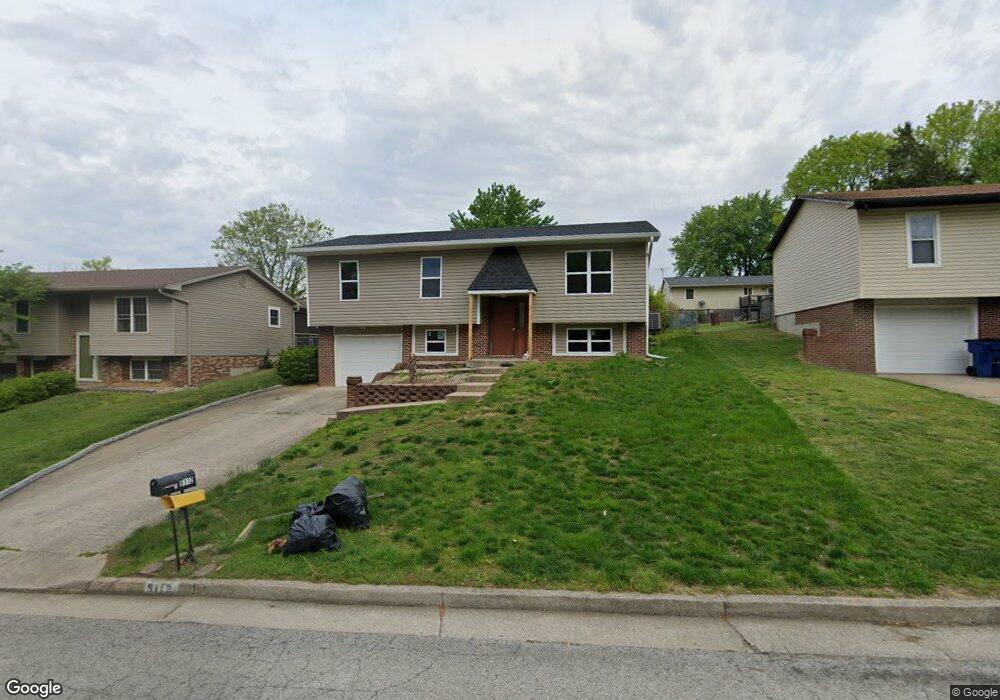
5112 Scruggs Station Rd Jefferson City, MO 65109
Estimated Value: $174,000 - $216,000
3
Beds
1
Bath
1,064
Sq Ft
$182/Sq Ft
Est. Value
About This Home
This home is located at 5112 Scruggs Station Rd, Jefferson City, MO 65109 and is currently estimated at $193,534, approximately $181 per square foot. 5112 Scruggs Station Rd is a home located in Cole County with nearby schools including Clarence Lawson Elementary School, Thomas Jefferson Middle School, and Capital City High School.
Ownership History
Date
Name
Owned For
Owner Type
Purchase Details
Closed on
Oct 20, 2023
Sold by
Cutler Joyce E
Bought by
Ats Rentals Llc
Current Estimated Value
Home Financials for this Owner
Home Financials are based on the most recent Mortgage that was taken out on this home.
Original Mortgage
$86,400
Outstanding Balance
$84,723
Interest Rate
7.19%
Mortgage Type
New Conventional
Estimated Equity
$108,811
Create a Home Valuation Report for This Property
The Home Valuation Report is an in-depth analysis detailing your home's value as well as a comparison with similar homes in the area
Home Values in the Area
Average Home Value in this Area
Purchase History
| Date | Buyer | Sale Price | Title Company |
|---|---|---|---|
| Ats Rentals Llc | -- | Midwest Title |
Source: Public Records
Mortgage History
| Date | Status | Borrower | Loan Amount |
|---|---|---|---|
| Open | Ats Rentals Llc | $86,400 |
Source: Public Records
Tax History Compared to Growth
Tax History
| Year | Tax Paid | Tax Assessment Tax Assessment Total Assessment is a certain percentage of the fair market value that is determined by local assessors to be the total taxable value of land and additions on the property. | Land | Improvement |
|---|---|---|---|---|
| 2025 | $858 | $15,910 | $2,280 | $13,630 |
| 2024 | $858 | $14,350 | $0 | $14,350 |
| 2023 | $858 | $14,350 | $0 | $14,350 |
| 2022 | $860 | $14,350 | $0 | $14,350 |
| 2021 | $865 | $14,350 | $0 | $14,350 |
| 2020 | $877 | $16,074 | $2,280 | $13,794 |
| 2019 | $853 | $15,561 | $2,280 | $13,281 |
| 2018 | $812 | $13,680 | $2,280 | $11,400 |
| 2017 | $792 | $14,345 | $2,280 | $12,065 |
| 2016 | -- | $14,345 | $2,280 | $12,065 |
| 2015 | $734 | $0 | $0 | $0 |
| 2014 | $734 | $15,694 | $2,280 | $13,414 |
Source: Public Records
Map
Nearby Homes
- 1628 Westview Dr
- 1616 Westview Dr
- 5121 S Brooks Dr
- 5117 S Brooks Dr
- 5203 Starlite Ct
- 4911 Lucia Dr
- 1600 Northport Dr
- 5405 Collier Ln
- 5417 Collier Ln
- 5416 S Brooks Dr
- 1910 Eliana Dr
- 1333 Grandview Dr
- 5318 Thornridge Dr
- 5314 Thornridge Dr
- 4817 Carly Dr
- 1323 Grandview Dr
- 1317 Grandview Dr
- 5506 Kenview Dr
- 5418 Thornridge Dr
- 2001 Buschman Ln
- 5114 Scruggs Station Rd
- 5110 Scruggs Station Rd
- 5113 Shady Ln
- 5116 Scruggs Station Rd
- 5108 Scruggs Station Rd
- 5115 Shady Ln
- 5111 Shady Ln
- 5117 Shady Ln
- 5109 Shady Ln
- 5118 Scruggs Station Rd
- 5106 Scruggs Station Rd
- 5109 Scruggs Station Rd
- 5105 Scruggs Station Rd
- 5119 Shady Ln
- 5107 Shady Ln
- 5101 Scruggs Station Rd
- 5113 Scruggs Station Rd
- 5120 Scruggs Station Rd
- 5104 Scruggs Station Rd
- 5121 Shady Ln