5113 Mandrake Ln Unit 1 Las Vegas, NV 89130
North Cheyenne NeighborhoodEstimated Value: $463,714 - $485,000
3
Beds
2
Baths
2,007
Sq Ft
$237/Sq Ft
Est. Value
About This Home
This home is located at 5113 Mandrake Ln Unit 1, Las Vegas, NV 89130 and is currently estimated at $476,179, approximately $237 per square foot. 5113 Mandrake Ln Unit 1 is a home located in Clark County with nearby schools including Ernest May Elementary School, Theron L Swainston Middle School, and Shadow Ridge High School.
Ownership History
Date
Name
Owned For
Owner Type
Purchase Details
Closed on
Jan 6, 2003
Sold by
Wilson Robert L and Wilson Anna K
Bought by
Burth Donald and Burth Karen S
Current Estimated Value
Home Financials for this Owner
Home Financials are based on the most recent Mortgage that was taken out on this home.
Original Mortgage
$100,000
Interest Rate
5.96%
Purchase Details
Closed on
Jan 21, 2000
Sold by
Wilson Robert L and Wilson Anna K
Bought by
Wilson Robert L and Wilson Anna K
Create a Home Valuation Report for This Property
The Home Valuation Report is an in-depth analysis detailing your home's value as well as a comparison with similar homes in the area
Home Values in the Area
Average Home Value in this Area
Purchase History
| Date | Buyer | Sale Price | Title Company |
|---|---|---|---|
| Burth Donald | $189,700 | Old Republic Title Company | |
| Wilson Robert L | -- | -- |
Source: Public Records
Mortgage History
| Date | Status | Borrower | Loan Amount |
|---|---|---|---|
| Previous Owner | Burth Donald | $100,000 |
Source: Public Records
Tax History Compared to Growth
Tax History
| Year | Tax Paid | Tax Assessment Tax Assessment Total Assessment is a certain percentage of the fair market value that is determined by local assessors to be the total taxable value of land and additions on the property. | Land | Improvement |
|---|---|---|---|---|
| 2025 | $1,902 | $96,609 | $41,160 | $55,449 |
| 2024 | $1,847 | $96,609 | $41,160 | $55,449 |
| 2023 | $1,847 | $95,742 | $42,000 | $53,742 |
| 2022 | $1,796 | $82,502 | $32,760 | $49,742 |
| 2021 | $1,745 | $77,280 | $29,400 | $47,880 |
| 2020 | $1,691 | $76,007 | $28,140 | $47,867 |
| 2019 | $1,641 | $72,220 | $24,780 | $47,440 |
| 2018 | $1,594 | $67,635 | $21,420 | $46,215 |
| 2017 | $2,126 | $66,183 | $18,900 | $47,283 |
| 2016 | $1,509 | $60,724 | $15,750 | $44,974 |
| 2015 | $1,506 | $54,552 | $12,250 | $42,302 |
| 2014 | $1,473 | $44,480 | $12,250 | $32,230 |
Source: Public Records
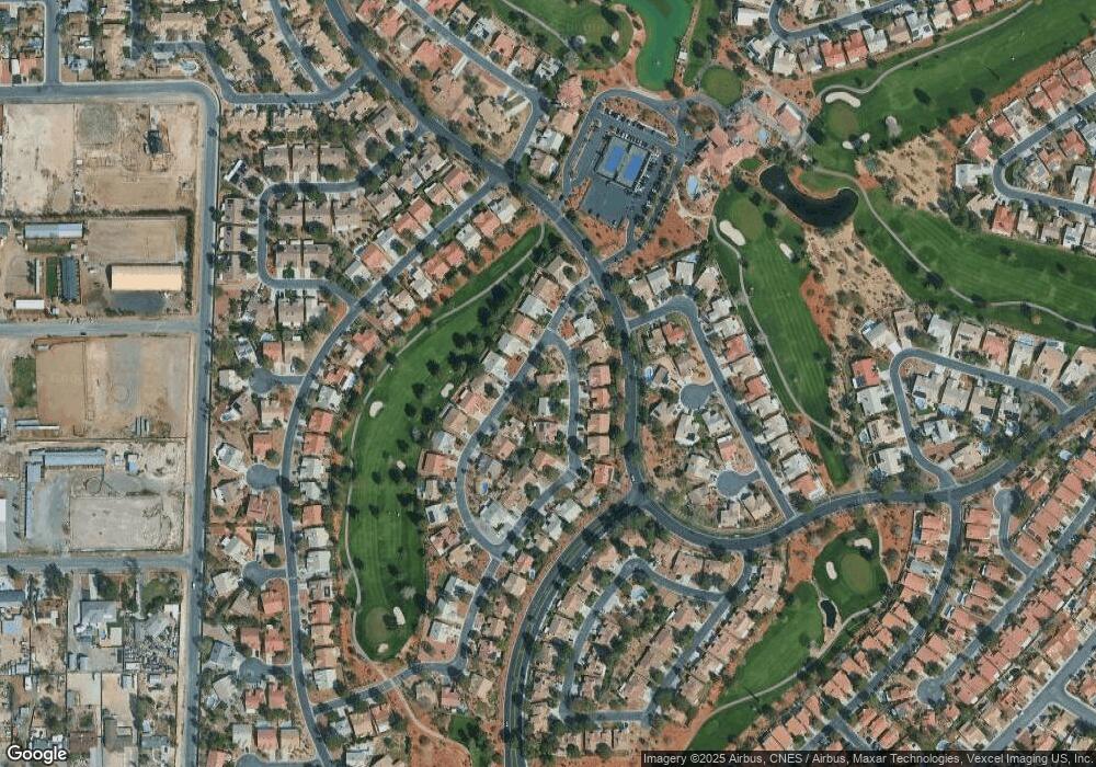
Map
Nearby Homes
- 5004 Rancho Bernardo Way
- 5600 Segolilly Cir
- 4905 Ocean Shores Way
- 5605 Bay Shore Cir
- 4933 Fiesta Lakes St
- 5204 Rim View Ln
- 4872 Maryvale Dr
- 4833 Fiesta Lakes St
- 4821 Fiesta Lakes St
- 4816 Fiesta Lakes St
- 4817 Friar Ln
- 5021 Cliffrose Dr
- 4852 Maryvale Dr
- 4808 Fiesta Lakes St
- 5017 Cliffrose Dr
- 4801 Fiesta Lakes St
- 5005 Cliffrose Dr
- 5213 Tamanar Dr
- 5100 Elm Grove Dr
- 4904 Pinon Dr
- 5109 Mandrake Ln
- 5105 Pacific Grove Dr
- 5116 Mandrake Ln
- 5101 Pacific Grove Dr
- 5028 Pacific Grove Dr
- 5120 Mandrake Ln
- 5109 Pacific Grove Dr
- 5105 Mandrake Ln
- 5112 Mandrake Ln
- 5033 Pacific Grove Dr
- 5124 Mandrake Ln
- 5113 Pacific Grove Dr
- 5024 Pacific Grove Dr
- 5013 Rancho Bernardo Way
- 5104 Mandrake Ln
- 5117 Pacific Grove Dr
- 5025 Pacific Grove Dr
- 5009 Rancho Bernardo Way
- 5009 Rancho Bernardo Way Unit HOME