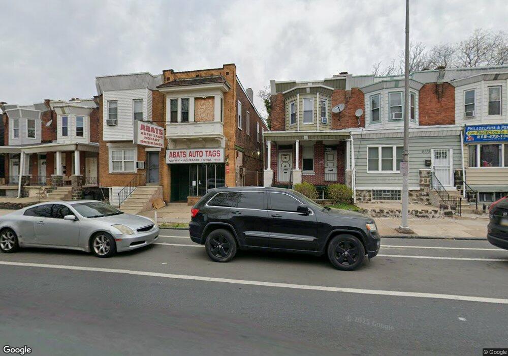
5115 Chestnut St Philadelphia, PA 19139
Cobbs Creek NeighborhoodEstimated Value: $181,832 - $232,000
--
Bed
--
Bath
1,500
Sq Ft
$142/Sq Ft
Est. Value
About This Home
This home is located at 5115 Chestnut St, Philadelphia, PA 19139 and is currently estimated at $212,277, approximately $141 per square foot. 5115 Chestnut St is a home located in Philadelphia County with nearby schools including Fort Belvoir Elementary School, William L. Sayre High School, and Global Leadership Academy Charter School Southwest.
Ownership History
Date
Name
Owned For
Owner Type
Purchase Details
Closed on
Mar 1, 2022
Sold by
Robinson Phillip M and Robinson Marcia F
Bought by
51St Market Oz Llc
Current Estimated Value
Purchase Details
Closed on
Dec 22, 2015
Sold by
Walker Marjorie Y
Bought by
Robinson Philip M and Robinson Marcia C F
Purchase Details
Closed on
Dec 17, 2010
Sold by
Walker Marjorie Y
Bought by
Walker Marjorie Y and Trust Of Marjorie Y Walker
Purchase Details
Closed on
Dec 19, 1995
Sold by
Becoate Alfreda
Bought by
Walker Marjorie Y
Create a Home Valuation Report for This Property
The Home Valuation Report is an in-depth analysis detailing your home's value as well as a comparison with similar homes in the area
Home Values in the Area
Average Home Value in this Area
Purchase History
| Date | Buyer | Sale Price | Title Company |
|---|---|---|---|
| 51St Market Oz Llc | $165,000 | Act Land Services Llc | |
| Robinson Philip M | $125,240 | None Available | |
| Walker Marjorie Y | -- | None Available | |
| Walker Marjorie Y | -- | -- |
Source: Public Records
Tax History Compared to Growth
Tax History
| Year | Tax Paid | Tax Assessment Tax Assessment Total Assessment is a certain percentage of the fair market value that is determined by local assessors to be the total taxable value of land and additions on the property. | Land | Improvement |
|---|---|---|---|---|
| 2026 | $3,024 | $248,300 | $49,600 | $198,700 |
| 2025 | $3,024 | $248,300 | $49,600 | $198,700 |
| 2024 | $3,024 | $248,300 | $49,600 | $198,700 |
| 2023 | $3,024 | $216,000 | $43,200 | $172,800 |
| 2022 | $2,158 | $216,000 | $43,200 | $172,800 |
| 2021 | $2,158 | $0 | $0 | $0 |
| 2020 | $2,158 | $0 | $0 | $0 |
| 2019 | $2,079 | $0 | $0 | $0 |
| 2018 | $2,049 | $0 | $0 | $0 |
| 2017 | $2,049 | $0 | $0 | $0 |
| 2016 | $2,049 | $0 | $0 | $0 |
| 2015 | $1,662 | $0 | $0 | $0 |
| 2014 | -- | $124,000 | $15,116 | $108,884 |
| 2012 | -- | $8,064 | $3,663 | $4,401 |
Source: Public Records
Map
Nearby Homes
- 5112 Ranstead St
- 5136 Ranstead St
- 5140 Ranstead St
- 5144 Ranstead St
- 5136 Ludlow St
- 5149 Ranstead St
- 5131 Ludlow St
- 23 S 51st St
- 5031 Ludlow St
- 5014 Chestnut St
- 5231 Sansom St
- 27 N 51st St
- 5107 Chancellor St
- 7 S 53rd St
- 5235 Walnut St
- 5005 Walnut St
- 131 S 50th St
- 34 S 53rd St
- 59 N Dearborn St
- 5250 Walnut St
- 5113 Chestnut St
- 5119 Chestnut St
- 5111 Chestnut St
- 5123 Chestnut St
- 5121 Chestnut St
- 5114 Ranstead St
- 5116 Ranstead St
- 5110 Ranstead St
- 5118 Ranstead St
- 5122 Ranstead St
- 5122 Ranstead St Unit 2
- 5122 Ranstead St Unit 1
- 5120 Ranstead St
- 40 S 51st St
- 36 S 51st St
- 5124 Ranstead St
- 42 S 51st St Unit 2
- 42 S 51st St
- 5125 Chestnut St
- 38 S 51st St