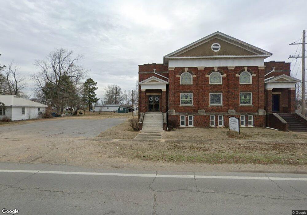
5115 N Highway Cc Bertrand, MO 63823
Estimated Value: $116,000 - $141,000
4
Beds
--
Bath
1,702
Sq Ft
$76/Sq Ft
Est. Value
About This Home
This home is located at 5115 N Highway Cc, Bertrand, MO 63823 and is currently estimated at $128,653, approximately $75 per square foot. 5115 N Highway Cc is a home with nearby schools including Warren E. Hearnes Elementary School, Charleston Middle School, and Charleston High School.
Ownership History
Date
Name
Owned For
Owner Type
Purchase Details
Closed on
Feb 7, 2022
Sold by
Bement Baptist Church
Bought by
Wagner James W
Current Estimated Value
Home Financials for this Owner
Home Financials are based on the most recent Mortgage that was taken out on this home.
Original Mortgage
$129,500
Outstanding Balance
$119,404
Interest Rate
3.45%
Mortgage Type
VA
Estimated Equity
$9,249
Purchase Details
Closed on
Nov 15, 2018
Sold by
Church Bement B
Bought by
Penrod Steve
Create a Home Valuation Report for This Property
The Home Valuation Report is an in-depth analysis detailing your home's value as well as a comparison with similar homes in the area
Home Values in the Area
Average Home Value in this Area
Purchase History
| Date | Buyer | Sale Price | Title Company |
|---|---|---|---|
| Wagner James W | -- | Holmes Alicia | |
| Wagner James W | -- | None Listed On Document | |
| Penrod Steve | -- | -- |
Source: Public Records
Mortgage History
| Date | Status | Borrower | Loan Amount |
|---|---|---|---|
| Open | Wagner James W | $129,500 | |
| Closed | Wagner James W | $129,500 |
Source: Public Records
Tax History Compared to Growth
Tax History
| Year | Tax Paid | Tax Assessment Tax Assessment Total Assessment is a certain percentage of the fair market value that is determined by local assessors to be the total taxable value of land and additions on the property. | Land | Improvement |
|---|---|---|---|---|
| 2025 | $625 | $13,210 | $0 | $0 |
| 2024 | $602 | $12,750 | $0 | $0 |
| 2023 | $603 | $12,750 | $0 | $0 |
| 2022 | $559 | $11,820 | $0 | $0 |
| 2021 | $334 | $7,070 | $0 | $0 |
| 2020 | $334 | $7,070 | $0 | $0 |
| 2019 | $328 | $7,070 | $0 | $0 |
| 2018 | $343 | $7,370 | $0 | $0 |
| 2016 | $0 | $1,540 | $0 | $1,540 |
| 2011 | $316 | $7,290 | $0 | $0 |
Source: Public Records
Map
Nearby Homes
- 0 County Hwy 544 Unit MAR25013765
- 224 S Interstate Dr
- 0 Mo-Aa Unit MAR25029644
- 78 Little John
- 306 Cravens St
- 503 Rodgers St
- 101 E Cedar St
- 405 Pam St
- 109 Andrea St
- 608 State Highway H
- 211 E Elm St
- 114 Norval Ave
- 832 County Line Rd
- 2005 Indiana Ave
- 0 Ables Rd
- 402 Aster
- 1394 County Road 538
- 327 Illinois Ave
- 403 Secretariat
- 414 Secretariat
- 5020 N Highway Cc
- 4967 N Highway Cc
- 7680 W 408th Rd
- 7700 W 408th Rd
- 7685 W 408th Rd
- 121 Lambert St
- 120 Lambert St
- 4280 N Highway Cc
- 121 Holmes Ave
- 118 Lambert St
- 117 Lambert St
- 66 County Highway 545
- 116 Lambert St
- 6012 N Highway Cc
- 113 Lambert St
- 6920 W 408th Rd
- 121 Crawford St
- 109 Lambert St
- 107 Semo Ln
- 110 Lambert St