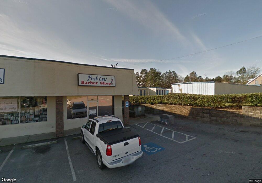
5116 Wrightsboro Rd Grovetown, GA 30813
Estimated Value: $2,170,000
--
Bed
2
Baths
4,650
Sq Ft
$467/Sq Ft
Est. Value
About This Home
This home is located at 5116 Wrightsboro Rd, Grovetown, GA 30813 and is currently priced at $2,170,000, approximately $466 per square foot. 5116 Wrightsboro Rd is a home located in Columbia County with nearby schools including Cedar Ridge Elementary School, Grovetown Middle School, and Grovetown High School.
Ownership History
Date
Name
Owned For
Owner Type
Purchase Details
Closed on
Jun 5, 2019
Sold by
191 Iii Cube Ga Sub Llc
Bought by
Sroa 5116 Wrightsboro Ga Llc
Current Estimated Value
Purchase Details
Closed on
Mar 30, 2016
Sold by
American Storage Llc
Bought by
191 Iii Cube Ga Sub Llc
Home Financials for this Owner
Home Financials are based on the most recent Mortgage that was taken out on this home.
Original Mortgage
$185,500,000
Interest Rate
3.64%
Create a Home Valuation Report for This Property
The Home Valuation Report is an in-depth analysis detailing your home's value as well as a comparison with similar homes in the area
Home Values in the Area
Average Home Value in this Area
Purchase History
| Date | Buyer | Sale Price | Title Company |
|---|---|---|---|
| Sroa 5116 Wrightsboro Ga Llc | $2,237,000 | -- | |
| 191 Iii Cube Ga Sub Llc | $2,171,400 | -- |
Source: Public Records
Mortgage History
| Date | Status | Borrower | Loan Amount |
|---|---|---|---|
| Previous Owner | 191 Iii Cube Ga Sub Llc | $185,500,000 |
Source: Public Records
Tax History Compared to Growth
Tax History
| Year | Tax Paid | Tax Assessment Tax Assessment Total Assessment is a certain percentage of the fair market value that is determined by local assessors to be the total taxable value of land and additions on the property. | Land | Improvement |
|---|---|---|---|---|
| 2025 | $15,788 | $563,951 | $281,135 | $282,816 |
| 2024 | $16,635 | $563,951 | $281,135 | $282,816 |
| 2023 | $16,635 | $503,816 | $281,135 | $222,681 |
| 2022 | $15,352 | $498,450 | $281,135 | $217,315 |
| 2021 | $16,022 | $497,841 | $281,135 | $216,706 |
| 2020 | $15,906 | $0 | $0 | $0 |
| 2019 | $10,450 | $316,042 | $0 | $0 |
| 2018 | $9,969 | $0 | $0 | $0 |
| 2017 | $9,442 | $0 | $0 | $0 |
| 2016 | $8,908 | $0 | $0 | $0 |
| 2015 | $9,132 | $0 | $0 | $0 |
| 2014 | $9,233 | $0 | $0 | $0 |
Source: Public Records
Map
Nearby Homes
- 211 Whiskey Rd
- 213 Whiskey Rd
- 141/137 Lewiston Rd
- 705 Cottonwood Ct
- 425 Whiskey Rd
- 218 Harvestwood Dr
- 303 Hazelnut Dr
- 100 Walton Dr
- 116 Bennett St
- 102 Walton Dr
- 104 Bennett St
- 106 Bennett St
- 406 Williams St
- 118 Bennett St
- 106 Walton Dr
- 201 Williams St
- 675 Red Cedar Ct
- 1130 Jolly Ln
- 1120 Jolly Ln
- 1863 Butternut Dr
- 5108 Wrightsboro Rd
- 5172 Wrightsboro Rd
- 5172 Wrightsboro Rd
- 117 Booker St
- 5170 Wrightsboro Rd
- 5109 Wrightsboro Rd
- 881 Kilworth Cir
- 115 Booker St
- 100 Whiskey Rd
- 836 S Willowick Dr
- 838 S Willowick Dr
- 834 S Willowick Dr
- 832 S Willowick Dr
- 840 S South Willowick Dr
- 842 S Willowick Dr
- 830 S Willowick Dr
- 109 Booker St
- 844 S Willowick Dr
- 828 S Willowick Dr
- 846 S Willowick Dr