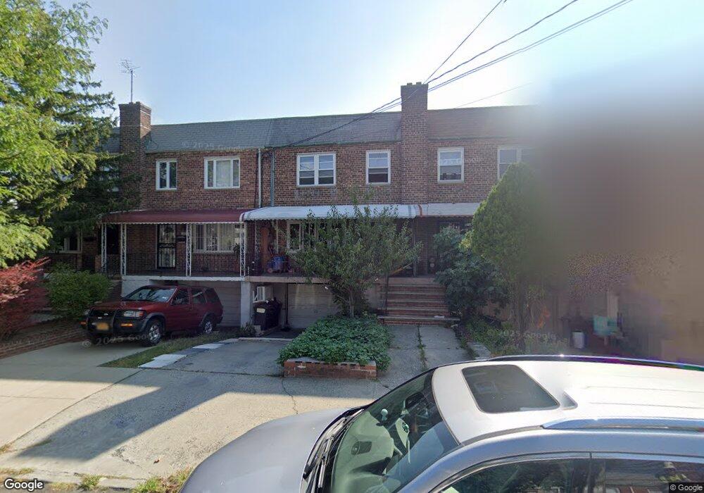
5117 72nd St Woodside, NY 11377
Maspeth NeighborhoodEstimated Value: $908,353 - $1,060,000
--
Bed
--
Bath
2,035
Sq Ft
$488/Sq Ft
Est. Value
About This Home
This home is located at 5117 72nd St, Woodside, NY 11377 and is currently estimated at $993,338, approximately $488 per square foot. 5117 72nd St is a home located in Queens County with nearby schools including P.S. 229 Emanuel Kaplan, IS 73 - The Frank Sansivieri School, and Newtown High School.
Ownership History
Date
Name
Owned For
Owner Type
Purchase Details
Closed on
Feb 20, 2003
Sold by
Harrigan Doreen P
Bought by
Li Yi Cai and Zheng Chang Ying
Current Estimated Value
Purchase Details
Closed on
Jun 15, 2001
Sold by
Harrigan Keith R and Harrigan Doreen P
Bought by
Harrigan Doreen P
Create a Home Valuation Report for This Property
The Home Valuation Report is an in-depth analysis detailing your home's value as well as a comparison with similar homes in the area
Home Values in the Area
Average Home Value in this Area
Purchase History
| Date | Buyer | Sale Price | Title Company |
|---|---|---|---|
| Li Yi Cai | $399,000 | -- | |
| Harrigan Doreen P | -- | -- |
Source: Public Records
Mortgage History
| Date | Status | Borrower | Loan Amount |
|---|---|---|---|
| Closed | Li Yi Cai | $0 |
Source: Public Records
Tax History Compared to Growth
Tax History
| Year | Tax Paid | Tax Assessment Tax Assessment Total Assessment is a certain percentage of the fair market value that is determined by local assessors to be the total taxable value of land and additions on the property. | Land | Improvement |
|---|---|---|---|---|
| 2025 | $8,396 | $44,309 | $14,705 | $29,604 |
| 2024 | $8,396 | $41,803 | $13,373 | $28,430 |
| 2023 | $8,490 | $41,803 | $11,711 | $30,092 |
| 2022 | $6,199 | $53,880 | $18,120 | $35,760 |
| 2021 | $8,237 | $46,560 | $18,120 | $28,440 |
| 2020 | $7,816 | $51,180 | $18,120 | $33,060 |
| 2019 | $7,287 | $49,320 | $18,120 | $31,200 |
| 2018 | $7,101 | $34,836 | $13,522 | $21,314 |
| 2017 | $7,033 | $34,503 | $14,655 | $19,848 |
| 2016 | $6,520 | $34,503 | $14,655 | $19,848 |
| 2015 | $3,926 | $30,770 | $16,157 | $14,613 |
| 2014 | $3,926 | $29,030 | $18,280 | $10,750 |
Source: Public Records
Map
Nearby Homes
- 51-23 71st St
- 7204 Calamus Ave
- 71-22 Calamus Ave
- 5157 71st St
- 5203 72nd Place
- 70-03 52nd Ave
- 51-29 69th Place
- 73-37 52nd Ave
- 6921 49th Ave
- 74-29 Calamus Ave Unit 20
- 74-47 Calamus Ave Unit 48
- 49-12 69th St
- 5243 69th Place
- 48-09 69th St
- 52-14 69th St
- 52-79 72nd St
- 7026 Queens Blvd Unit 7F
- 70-26 Queens Blvd Unit 10B
- 70-26 Queens Blvd Unit 6D
- 70-26 Queens Blvd Unit 11A
- 5115 72nd St
- 5119 72nd St
- 51-19 72nd St
- 51-11 72nd St
- 5111 72nd St
- 5121 72nd St
- 5123 72nd St
- 5125 72nd St
- 5118 72nd Place
- 5120 72nd Place
- 5116 72nd Place
- 5122 72nd Place
- 5127 72nd St
- 5114 72nd Place
- 5124 72nd Place
- 5116 72nd Place
- 5116 72nd Place Unit 2nd Fl
- 5122 72nd Place
- 5126 72nd Place
- 5129 72nd St