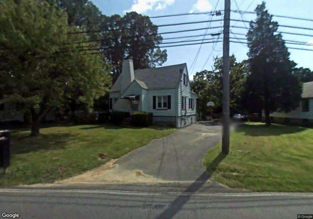
5117 King Ave Rosedale, MD 21237
Estimated Value: $347,220 - $508,000
--
Bed
1
Bath
2,215
Sq Ft
$192/Sq Ft
Est. Value
About This Home
This home is located at 5117 King Ave, Rosedale, MD 21237 and is currently estimated at $425,805, approximately $192 per square foot. 5117 King Ave is a home located in Baltimore County with nearby schools including Golden Ring Middle School, Overlea High School, and Rosedale Baptist School.
Ownership History
Date
Name
Owned For
Owner Type
Purchase Details
Closed on
Mar 26, 2018
Sold by
Robeson Mary C
Bought by
Campbell Joy L and Campbell David A
Current Estimated Value
Purchase Details
Closed on
Nov 30, 2015
Sold by
Campbell Joy L and Robeson Mary C
Bought by
Campbell David A and Campbell Joy L
Purchase Details
Closed on
Mar 26, 2009
Sold by
Robeson Donald E
Bought by
Robeson Mary C and Campbell Joy L
Purchase Details
Closed on
Oct 5, 2000
Sold by
Robeson Donald E
Bought by
Robeson Donald E and Robeson Mary C
Create a Home Valuation Report for This Property
The Home Valuation Report is an in-depth analysis detailing your home's value as well as a comparison with similar homes in the area
Home Values in the Area
Average Home Value in this Area
Purchase History
| Date | Buyer | Sale Price | Title Company |
|---|---|---|---|
| Campbell Joy L | -- | None Available | |
| Campbell David A | -- | Quiet Title Llc | |
| Robeson Mary C | -- | -- | |
| Robeson Donald E | -- | -- |
Source: Public Records
Tax History Compared to Growth
Tax History
| Year | Tax Paid | Tax Assessment Tax Assessment Total Assessment is a certain percentage of the fair market value that is determined by local assessors to be the total taxable value of land and additions on the property. | Land | Improvement |
|---|---|---|---|---|
| 2025 | $1,801 | $267,200 | -- | -- |
| 2024 | $1,801 | $245,400 | $0 | $0 |
| 2023 | $1,719 | $223,600 | $87,400 | $136,200 |
| 2022 | $3,458 | $216,567 | $0 | $0 |
| 2021 | $3,486 | $209,533 | $0 | $0 |
| 2020 | $3,378 | $202,500 | $87,400 | $115,100 |
| 2019 | $2,403 | $198,267 | $0 | $0 |
| 2018 | $3,184 | $194,033 | $0 | $0 |
| 2017 | $2,965 | $189,800 | $0 | $0 |
| 2016 | $2,669 | $187,433 | $0 | $0 |
| 2015 | $2,669 | $185,067 | $0 | $0 |
| 2014 | $2,669 | $182,700 | $0 | $0 |
Source: Public Records
Map
Nearby Homes
- 5108 Windermere Cir
- 4930 Ridge Rd
- 5032 Springhouse Cir
- 4932 Brightleaf Ct
- 9534 Shirewood Ct
- 5144 Brightleaf Ct
- 7255 Martin Farm Cir
- 5236 Millfield Rd
- 5266 Millfield Rd
- 5363 King Arthur Cir
- 4 Bantry Ct
- 5336 Glenthorne Ct
- 4812 Ridge Rd
- 5380 King Arthur Cir
- 5424 Litany Ln
- 5488 Glenthorne Ct
- 5435 King Arthur Cir
- 9 Galahad Ct
- 4743 Ridge Rd
- 7494 Rossville Blvd